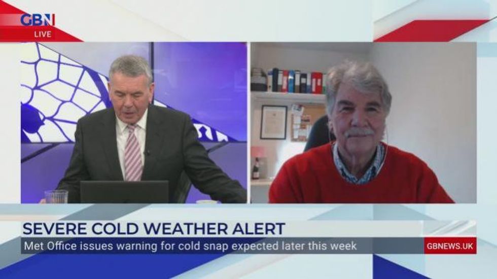
Northernly winds normally seen in the early months of the year will be accompanied by icy blasts and flurries of snow, with the Met Office issuing a yellow warning
Don't Miss
Most Read
Trending on GB News
The Met Office has issued a warning as an Arctic blast makes its way towards Britain, threatening to plunge temperatures as low as -8C in the coming days.
Northernly winds normally seen in the early months of the year will be accompanied by icy blasts and flurries of snow, with the Met Office issuing a yellow warning for snow.
The Met Office has issued a warning as an Arctic blast makes its way towards Britain, threatening to plunge temperatures as low as -8C in the coming days.
WXCHARTS
They have cautioned commuters that “some roads and railways likely to be affected with longer journey times by road, bus and train services.”
Met Office meteorologist Alex Burkill said: “At the moment we have an easterly flow and as such our winds are coming from the east and that is a cold direction and it is cold out. However, from Tuesday onwards, we are going to get a northerly flow, so our winds coming from the north, that is Arctic air leading to our temperatures dropping even further as we go through this week.
“It’s going to turn even colder and feel even colder still with temperatures well below average for the time of year both by day and by night.”
He added that temperatures on Wednesday and Thursday would drop as low as -8C overnight, staying in the low single digits during the daytime.
Scotland could see between two and four inches of snow settling on the ground.
WXCHARTS
“It looks like the cold is going to be very widespread, perhaps Northern Ireland and East Anglia won’t be that cold, maybe just a degree or two below freezing, otherwise we are talking about several degrees below freezing across Scotland, Wales.
“Much of England, including the South West, we could see temperatures of -5C or -6C which is exceptionally cold.”
“We have a snow warning across the northern half of Scotland for Wednesday and that is when the snow showers coming from the north will be most impactful, they will probably start on Tuesday and we will see very significant snow in the north.”
Scotland could see between two and four inches of snow settling on the ground.
“At the moment it is cloudy meaning there won’t be huge differences between daily highs and overnight lows but as we go through this week, we will get that cold northerly flow with clearer skies so sunny and crisp by day but even colder at night.”
He said temperatures dropped to -3.8 degrees at Drumnadrochit near Inverness on Saturday night but temperatures should remain at about -2C at night time in Scotland for the next couple of days and a few degrees above freezing for the rest of the country until the cold snap arrives on Wednesday.


