


Britain is expected to see heavy thunderstorms, which could cause flash flooding, as "excessive rainfall" is expected to hit the country.
The thunderstorms come as the UK experiences its third heatwave of the year, with temperatures surpassing 30C.
NetWeather's senior forecaster Nick Finnis said: "Thunderstorms are expected to develop along a zone of wind convergence ahead of the surface front, and these will organise into multicell clusters moving north."
With a 20 per cent chance of thunderstorms, they could "pose a risk of excessive rainfall in a short space of time leading to flash-flooding, hail and gusty winds".
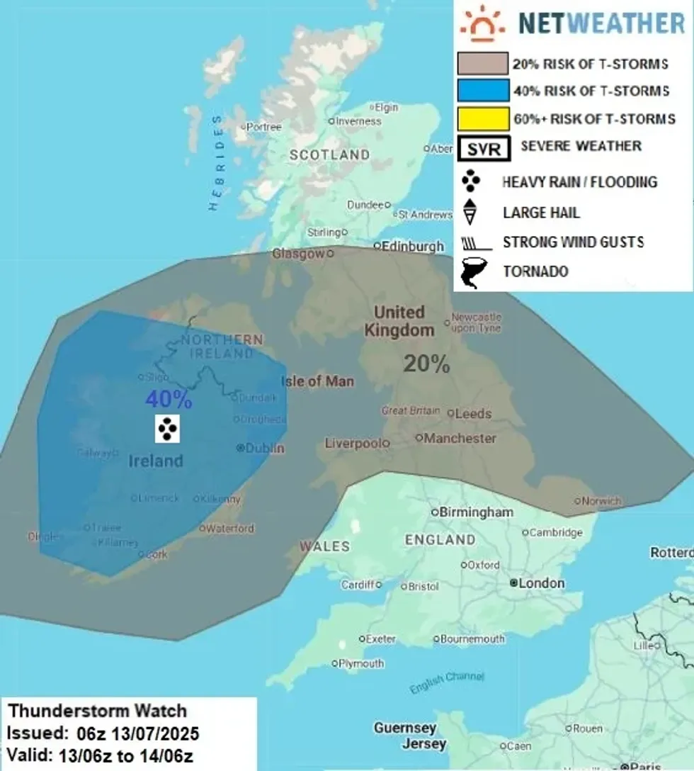
Large parts of the UK are at risk of thunderstorms
|NETWEATHER
Finnis said that areas of the north of England and Wales could be impacted by storm, with "heavy showers".
The torrential downpours, forecast by Netweather to batter Britain tonight, now mean Manchester, Liverpool, Newcastle, Chester and Glasgow all have a 20 per cent chance of thunderstorms.
Scotland, Wales and Northern Ireland all recorded their hottest day of the year so far yesterday.
Temperatures struck 32.2C in Aviemore and 33.1C in Wales' capital, Cardiff.
Magilligan in Londonderry, Northern Ireland, also reached 30C.
Temperatures in England did not break the record so far, as they sat in the high 20s and low 30s.
A high of 31C is possible today, as the hot weather continues before next week's possible thunderstorms.
An amber heat health alert is in place for the Midlands and southern and eastern England until Monday morning.
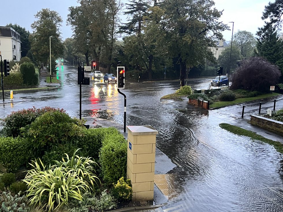
Britons have been warned of possible flash flooding
|PA
These alerts warn of a potential rise in deaths among those aged 65 and over or with health conditions.
Met Office meteorologist Kathryn Chalk said: "While we've seen the peak of the heat in this heatwave through [Saturday], it's still going to be very warm on Sunday before turning cooler for many of us on Monday.
"So we've got this ridge of high pressure extending across the UK, helping to keep things settled, but out towards the west, an area of low pressure moving through Sunday night and into Monday.
"So if you're not a fan of the heat temperatures will be falling away but also bringing some heavy spells of rain, or welcome rainfall, for many of us."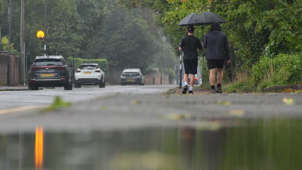
Rainfall is expected across the north of England and Wales and southern Scotland
|PA
Hosepipe bans have come into force across areas of the country due to the high temperatures.
Yorkshire Water implemented a hosepipe ban, affecting five million people across Yorkshire following what the company describes as "the driest spring on record".
The water supplier revealed that reservoir levels have remained static for several months, a highly unusual situation typically prevented by spring rainfall.
"Our reservoir levels haven't actually increased since the last week of January. Normally, our groundwater sources and reservoirs get topped up over spring when the weather is changeable, but this year we've had the driest spring on record and Yorkshire is officially in drought," Yorkshire Water stated.