
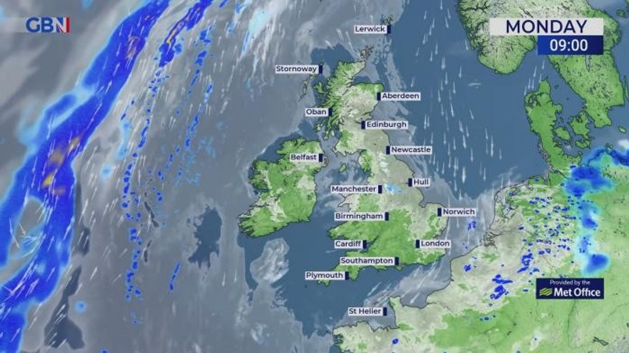


The Met Office has issued three new yellow thunderstorm alerts, warning of "disruption and flooding".
Two of the warnings cover Northern Ireland - the first begins at 1pm today and will last for the majority of the day before expiring at 9pm tonight, while the second begins tomorrow at 9am - and will remain in place for 13 hours.
The third alert covers parts of South West England, coming into effect at 12pm tomorrow and lasting until 9pm.
"Many places missing the worst, but where thunderstorms occur, they could bring travel disruption and surface water flooding," the Met Office announced.
The first warning in Northern Ireland covers County Fermanagh, County Londonderry and County Tyrone, whilst the second extends to County Antrim, County Armagh and County Down.
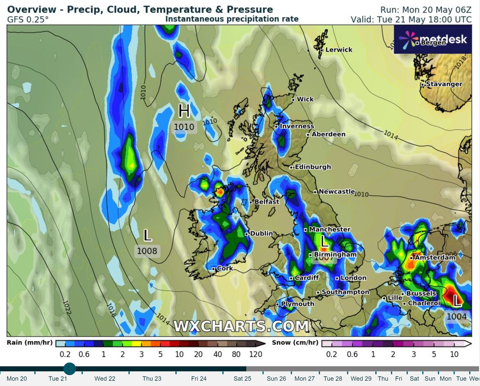
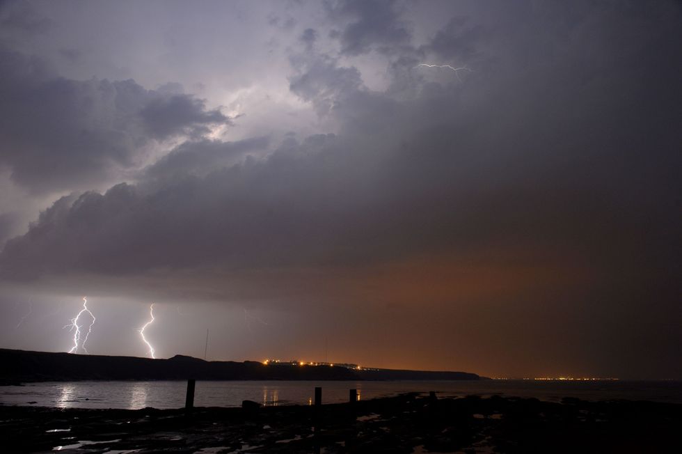
The heavy rain heading for the UK is set to pummel areas across the British Isles
|WXCharts
Meanwhile, the alert in the southwest spans Cornwall, Devon, Dorset, Plymouth, Somerset, and Torbay.
The Met Office also cautioned that spray and flooding could create treacherous driving conditions and lead to some roads being closed.
Cancellations to public transport services are also likely in areas where flooding or lightning occurs.
"There is a slight chance that power cuts could occur and other services to some homes and businesses could be lost," the weather office added.
"There is a small chance that homes and businesses could be flooded quickly, with damage to some buildings from floodwater, lightning strikes, hail or strong winds."
READ MORE:
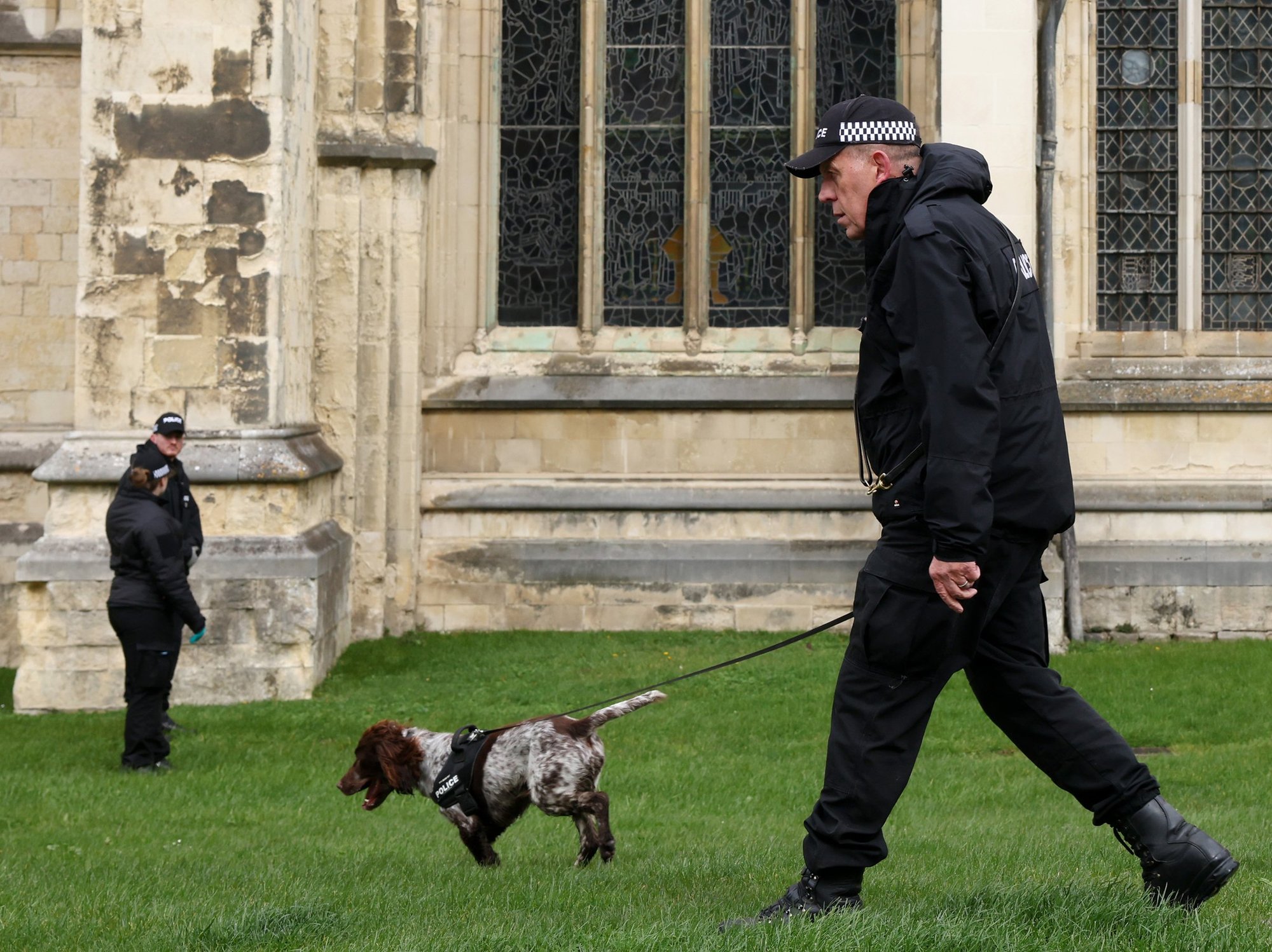
The Met Office has issued two new yellow thunderstorm alerts covering much of Northern Ireland (file photo)
| PAThe Met Office drew attention to the risk of fast-flowing or deep floodwater in the wake of the heavy rainfall - but stressed that the likelihood of this happening was only small.
The storm warnings come as 27 flood alerts are currently in place across Southern England, with the Environment Agency warning of potential travel disruption across the next five days.
The Met Office's long-term forecast, which covers the period until June 2, says: "Most likely an unsettled start to the period with showers in the west and perhaps longer periods of rain in the northeast, although still some settled weather in between.
"Over the bank holiday weekend, a band of rain is likely to arrive from the west, becoming weaker as it moves east and becoming more showery in nature with scattered showers also following.
"Into the new week increasingly settled conditions more likely for most, though rain may threaten north-western areas whilst some southern or eastern areas occasionally less settled with showers more likely later in the period though there will be some sunshine between them, the best of this in south-western parts.
"Temperatures are likely to be a little above average, but some large spatial differences are likely."
Temperature-wise, Met Office maps show that much of the country will push the mid-to-high teens at best as the week continues, but bands of rain moving inland from the continent and Atlantic are due to darken skies and ramp-up muggy conditions.
Though there are no real temperature hotspots in the UK as the week continues - in general, London and parts of the south can expect 19C highs, while northern Scotland looks set for cooler climes of around 12-14C, but most of the country will hover at around 14-17C heading into the weekend.