


Britons are set to be battered with thunderstorms and showers over Easter as forecasters predict "unsettled" conditions this weekend.
This year, the holiday coincides with a meteorological pattern known for bringing colder winds from the north and east after April 20.
Forecasts suggest this pattern will emerge over the holiday period, with winds currently from the southeast expected to shift to the northeast and eventually the north by next week.
These wind directions are typically cool, and with low pressure dominating, the weather is set to remain unsettled - particularly across southern and southwestern regions of the UK. While it won’t be a total washout, the forecast remains mixed.
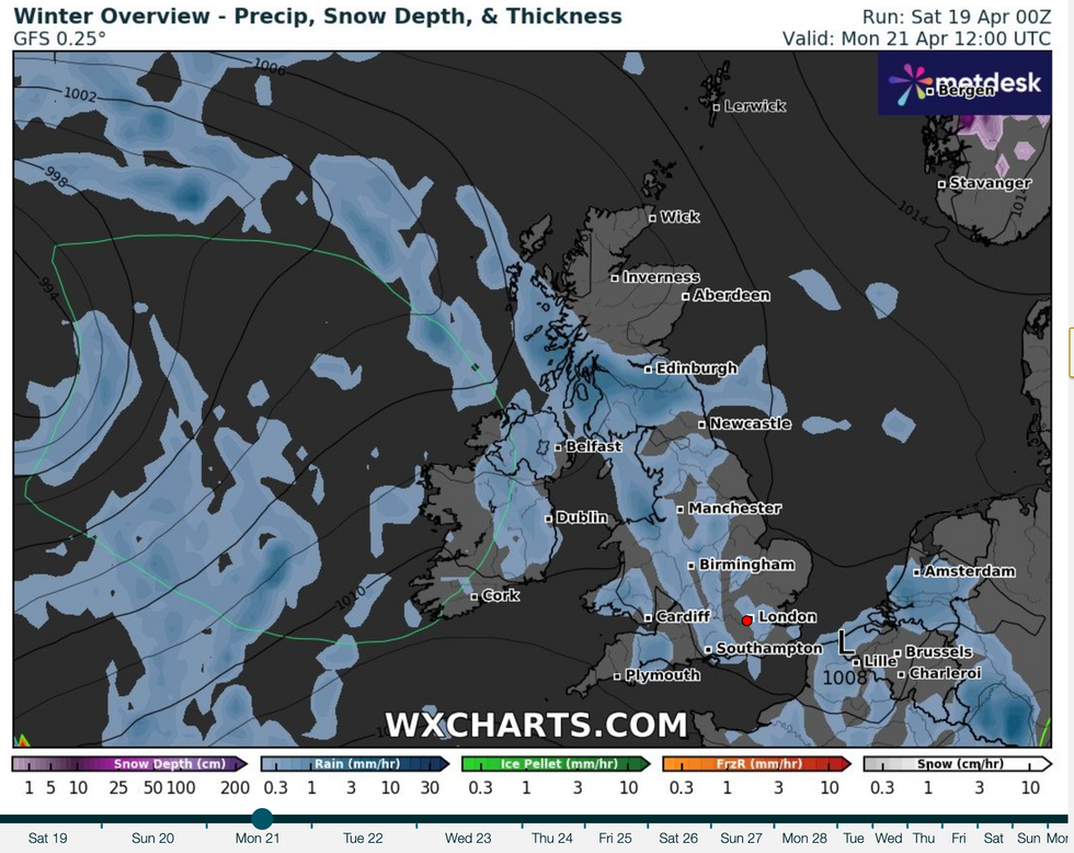
By Easter Monday, showers may become more widespread and heavier across England and Wales, with possible thunder
|Net Weather
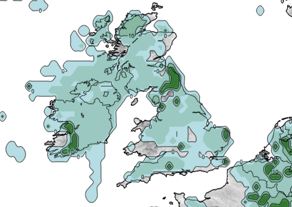
Northern Ireland may see rain early today, though conditions should improve later. South Wales and the southwest are set for more showers, with a chance of heavy, thundery showers developing in southern England and the south Midlands
|WXCHARTS
Easter Saturday will continue the unsettled trend of Good Friday, where eastern areas, along with the north and east of Scotland, enjoyed the driest conditions and some sunshine.
Yesterday evening, parts of the Midlands and central southern England saw scattered showers. Overnight temperatures stayed between 5 and 7C.
Northern Ireland may see rain early today, though conditions should improve later. South Wales and the southwest are set for more showers, with a chance of heavy, thundery showers developing in southern England and the south Midlands.
Other areas will remain mostly dry, brightening after a misty start. As winds shift to an easterly or northeasterly direction, coastal regions and the north of Scotland will feel cooler, with highs of 10 to 12C, and up to 16C elsewhere in the sunniest spots.
MORE LIKE THIS:
Saturday night may bring more showers, particularly from the Midlands southward, while the north stays mostly dry.
Easter Sunday looks more settled in the north and northwest, but showers could persist further south. By Easter Monday, showers may become more widespread and heavier across England and Wales, with possible thunder.
This year’s late Easter is due to the timing of the first full moon after the spring equinox, which fell on April 13, making April 20 the earliest possible Sunday afterward.
Next year, Easter will be earlier, on April 5.
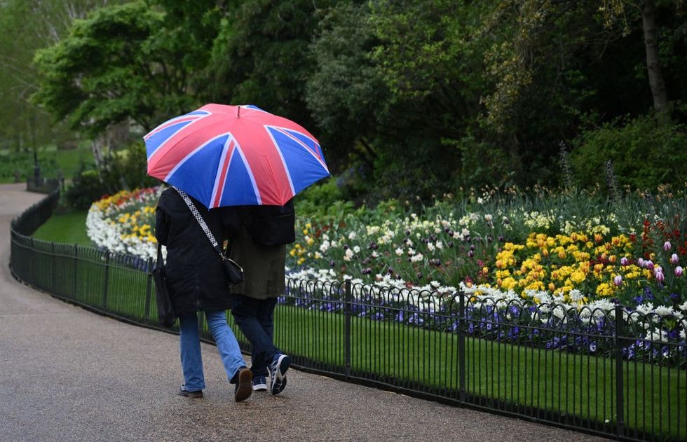
Saturday night may bring more showers, particularly from the Midlands southward, while the north stays mostly dry
|GETTY
Meteorologist Jim Dale for British Weather Services, said: “The start to spring was unusually mild and sunny with temperatures in the mid-20Cs, and I am a believer that the weather will always seek to balance these periods.
“This is what we are going to see through the rest of the week and potentially into the start of May, with something more typical for the time of year.
“The outlook is more unsettled going through the next week and beyond with low pressure likely to be in charge.”