
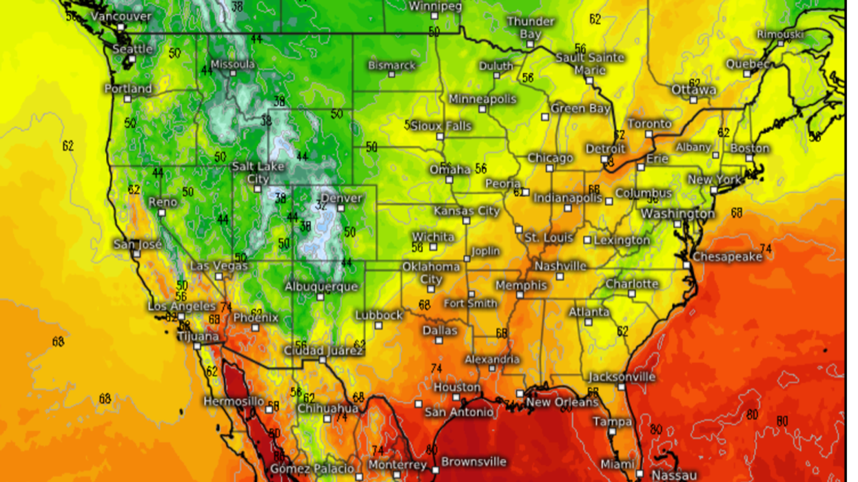


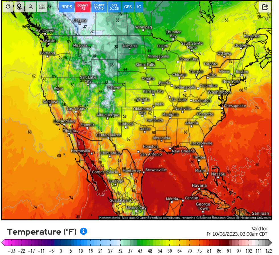
A powerful cold belt about to sweep through the United States threatens days of shivering downpours and slushy snow.
Arctic air will ‘plunge’ into central and eastern America and across the Great Lakes triggering a ‘lake-effect snowbelt’.
Jonathan Erdman, a meteorologist for The Weather Channel, said: “Late this week, a strong cold front will bring a brush of fall-like air to the central and eastern US.
WATCH NOW: Weather outlook for 04/10/2023
“This chillier air spilling over Great Lakes waters warmed after a hot summer will manufacture bands of lake-effect precipitation for several days in the usual ‘lake-effect snowbelts’ from Michigan to western New York.
“It will be too warm for snow in these areas, except perhaps a few wet flakes in parts of the northern Great Lakes.”
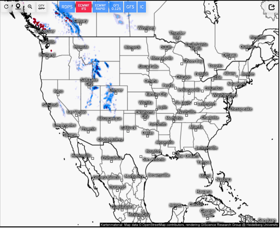
Weather models reveal the risk of snow over high ground this week across parts of the north-western US.
US LATEST:
Cold plunge moves down the west coast
|Weather.us
Jim Dale, US weather correspondent and senior meteorologist for British Weather Services, said: “The cold front comes down the west and then bends around the hot dome which is bringing the hotter conditions to the south.
“This air is Arctic in origin, and for some regions, we are talking about a proper autumnal cold plunge.
“It will bring a mix of wintry rain and sleet around the area of the Great Lakes towards the end of the week and through the weekend.”
However, hot weather across the south will continue to push temperatures well into the 80Fs, he added.
He said: “We are looking at a definite north-south and east-west split with the temperatures.
“And in between, there is a battle going on and with the instability that this causes, we could be looking at a few significant thunderstorms.”
Ski resorts in Utah are already under a blanket of white despite being six weeks from the start of the winter sports season.
A Weather Channel spokesman said: “After a hot, humid summer, look no further than the higher elevations of Utah.
“Ski resorts are already seeing snow in several parts of the state, even though we’re six-plus weeks from the start of ski season at most resorts.”
Meanwhile, Tropical Storm Philippe continues on its journey across the Atlantic and towards the eastern coasts.
Parts of the Leeward Islands are on alert for gusty winds and heavy rain with intense downpours threatening flash floods.
After stalling on its journey, the storm has ‘sped up a bit’ as its centre passes northeast of the British Virgin Islands, according to the National Hurricane Centre (NOAA).
A spokesman said: “Tropical storm conditions are expected to continue on Anguilla and are possible on the British Virgin Islands.
“Strong gusty winds are also likely elsewhere in the Leeward Islands.
“Heavy rainfall from Philippe is expected to produce scattered flash flooding across portions of the northern Leeward Islands and the British Virgin Islands into early Wednesday.”