


Britain is readying the windbreaks for a September of storms with at least six major pummelings predicted over autumn.
As the nation buckles in for a blowy few days, one expert warns the gates have opened to a tempestuous run up to winter.
The unusually calm and hot summer will take a major U-turn through the next three months as the weather seeks to "balance".
Jim Dale, meteorologist for British Weather Services, said: “Over the autumn period, I think we are looking at between three and six named storms as the Atlantic fires into life.
“It depends on how low pressure comes into the UK, the position of the lows and the position of the jet stream, but after the unusually rainless summer and hot summer, it is far more likely that we will get an unsettled period before the end of the year.
“The weather has a tendency to balance, so after a long period of calm, stormy weather is more likely.”
Warm land and ocean temperatures will add a vital ingredient to the mix, he added, fuelling storms on their trans-Atlantic journey.
He said: “Warm ocean temperatures will always add energy to these systems as they come through, making them more volatile.
LATEST DEVELOPMENTS:
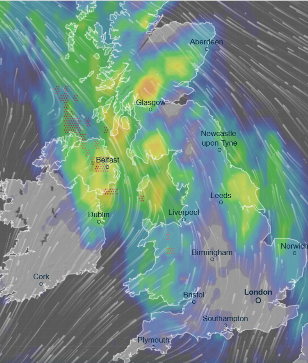
Between three and six named storms are expected during September
|VENTUSKY
“Also, where low pressure develops, it is more likely to be whipped into something more significant if there is energy in the atmosphere.
“We are now keeping an eye on developments, although it is more likely that the storm season will ramp up during the second half of September.”
Government forecasters agree the next three months are shaping up to be wetter and windier than normal.
The Met Office’s three-month outlook warns of a more than double the chance of windy weather and just under double the risk of excessive rain.
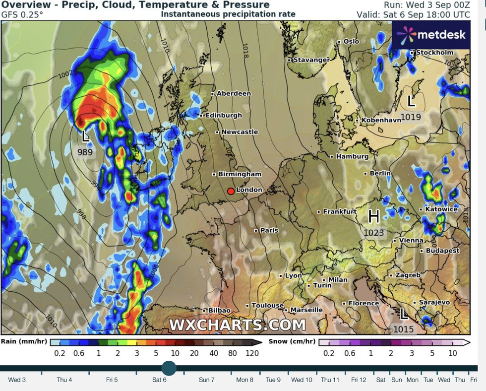
The Met Office’s three-month outlook warns of a more than double the chance of windy weather and just under double the risk of excessive rain
|WXCHARTS
It predicts only a 10-per-cent chance of autumn being calm, although temperatures are likely to be above average.
A Met Office spokesperson said: “There is a higher-than-normal chance of a wet autumn due to an increased likelihood of westerly winds from the Atlantic Ocean.
“The signal for more frequent periods of westerly winds means that there is a greater risk than normal of stormy spells and disruptive winds.
“Consistent with our warming climate, there is an increase in the likelihood of warm conditions through autumn.”
In the meantime, Britain is getting ready for a wet and windy few days as low pressure arrives from the Atlantic.
Western counties face the worst of the onslaught with the eastern Britain getting off relatively unscathed.
However, the end of the week could herald change as high pressure builds driving warm sunshine.
Met Office meteorologist Clair Nasir said: “High pressure is extending its influence across England and Wales on Friday, and that means for some there will be some lighter breaks, some sunshine and a lighter breeze, but for most it is a drier day with a few light showers and temperatures on the up.”
Met Office meteorologist Honor Criswick added: “On Thursday, winds will ease a little bit, but it is probably going to be a day of sunny spells and showers.
“High pressure is then sticking around for a time which means mostly settled conditions on Friday and Saturday across a large bulk of the country.
“But waiting in the wings is another area of low pressure.”