


Britain’s first taste of spring will quickly fizzle as the Atlantic doors open to a ‘queue’ of stormy weather systems.
Near summer-like mid-week temperatures and sunshine are about to give way to the next deluge.
A cold front sweeping the country will push thermometers in parts below freezing this weekend for the start of meteorological spring.
It will be steered across the Atlantic by the jet stream as it shape-shifts into a flattened, storm conveyor belt.
TRENDING
Stories
Videos
Your Say
Met Office meteorologist Aidan McGivern said: “Wednesday is the peak of the warmth before a cold front to the west opens the door to another change.
“A flatter jet stream runs across the Atlantic pushing across northern parts of the UK allowing frontal systems to move through, and there is a queue building up of these frontal systems.
“There are more to come heading into the weekend as the jet stream is back in charge.”
Yesterday saw temperatures across southern Britain rocket in a plume of tropical winds from the southern Atlantic, hitting almost 19C in London.
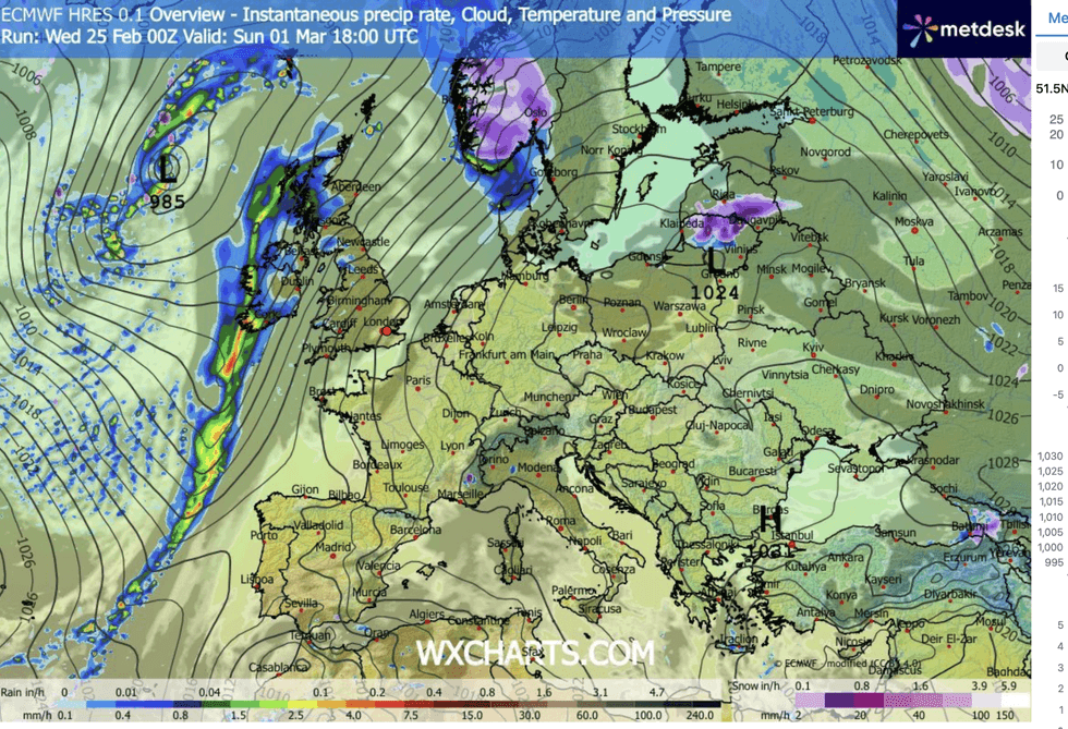
Parts of Britain will be drenched by rain
|WX CHARTS
A break from the cyclonic, rain-bearing, weather patterns that have dominated winter saw the clouds part in glorious sunshine.
A weekend U-turn will see a return of the ‘Polar front’, the band of air between the North Pole and northern Europe, push the mercury in parts back below freezing.
Jim Dale, meteorologist for British Weather Services and co-author of ‘Surviving Extreme Weather’, said: “Thursday and Friday will see a cold plunge from the north bring an end to the very mild weather.
“The Polar front edges back in, with the cold returning first to Scotland and then to the rest of the country.
LATEST DEVELOPMENTS
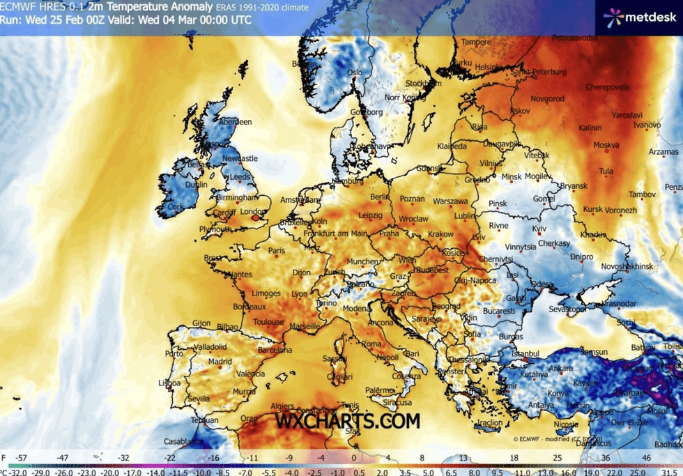
Unseasonal sun will give way for more familiar conditions
|WX CHARTS
“Any wintry showers will be over the hills and mountains of Scotland, but it will feel much cooler again everywhere.”
Britain’s weather has for the past months been dominated by a battle between stormy low pressure to the west and high pressure to the east.
A ‘blocking’ pattern has stopped cyclonic lows from moving across the country, instead keeping them stalled over the west in a curtain of rain.
Once again, high and low pressure will converge to shake the UK weather, with the ‘Azores High’, more typical in mid-summer, to make its entry.
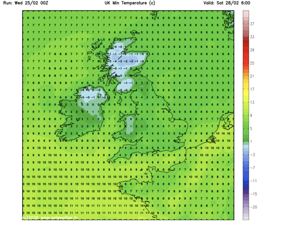
Some Britons can expect to see storm
|NETWEATHER
Met Office meteorologist Annie Shuttleworth said: “The Azores High is starting to build to the south of the UK, and we have high pressure building over the north Atlantic closer to the USA.
“The Azores High to the south and the southwest of the UK is starting to extend across the eastern seaboard, and high pressure over Scandinavia is starting to build.
“So, we have a bit more of a blocked pattern to the latter part of the week and that means that low pressure systems would come down from the north and west of the UK, tracking south-eastwards.
“That subtle change from south-westerly to north-westerly winds is looking more likely for the second half of the week into the weekend.”
Mr McGivern added: “We have weather fronts coming in from the Atlantic, but they are no longer getting stuck because of cold air over Scandinavia, but there are plenty of them.
“So, there is very changeable weather to come.”