


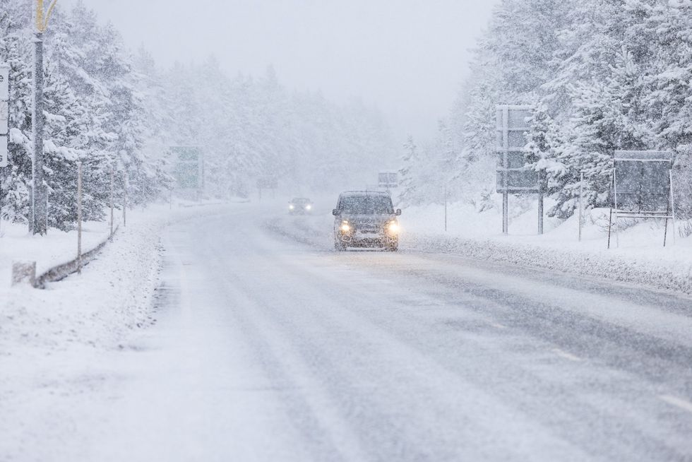
Storm Goretti has been branded a "weather bomb" after battering the southwest coast overnight, with communities across Britain waking to significant disruption this morning.
Speaking to GB News, weather journalist Nathan Rao detailed how the "strong and powerful" storm struck during the night hours, leaving a trail of damage in its wake.
Mr Rao said: "A red weather warning, as you will undoubtedly have heard, was issued by the Met Office. That is the highest level of warning they can issue.
"They don't issue them lightly, and record winds were recorded in the Isle of Wight at 100mph and 99mph, which is the strongest there. So this is a really strong storm that hit last night."
Cautioning Britons that there will be "disruption" across the country, he added: "A lot of places this morning are waking up to scenes of disruption, closed schools, traffic disruption, damage to buildings, power cuts, all that sort of thing that you'd associate with a very severe autumn storm.
Mr Rao described Storm Goretti as a "weather bomb" – a meteorological term referring to explosive cyclogenesis, where a low-pressure system rapidly intensifies after connecting with the jet stream.
TRENDING
Stories
Videos
Your Say
He explained: "A weather bomb is actually a technical meteorological term, it is another word for explosive cyclogenesis. And what that means is when a low pressure system, which is what all of these storms are, low pressure systems, sometimes they hitch a ride onto the jet stream, and that causes them to strengthen very, very quickly.
"And in order to have a weather bomb, you need to have a drop of 24 millibars over 24 hours in the central point of that low pressure system, and that's what happened last night."
Mr Rao revealed: "In fact, I think it dropped around 30 millibars over a very short amount of time, and that causes what's called a weather bomb.
"But is this a meteorological term that describes a very, very strong and powerful storm. Another one actually was the 1987 great storm. That was a weather bomb, intensified very, very rapidly and caused some very, very strong winds and a lot of damage."

Nathan Rao has warns Britons that Storrm Goretti will be 'strong and powerful'
|REUTERS / GB NEWS
The Met Office had issued its highest level of alert ahead of the storm's arrival, a warning the forecaster does not deploy lightly.
Conditions are forecast to improve as the day progresses, with winds gradually diminishing as the system tracks eastward along England's southern coastline.
Despite the storm's gradual weakening, weather alerts for snow persist across the Midlands and Scotland as the system continues its path across the country.
Mr Rao told GB News when Britons can expect the storm to ease, saying: "Thankfully, Storm Goretti is going to ease through today, but last night was really when this storm whipped into the southwest coast.
LATEST DEVELOPMENTS
 The Met Office has described Storm Goretti as a 'multi-hazard event' | PA
"It's going to ease through today. Weather warnings are still in force across the south of the country, across the Midlands for snow, across Scotland for snow as that storm moves along the south coast of England out into the east and winds will die down through today."
The Isle of Wight recorded the storm's most ferocious gusts overnight, with wind speeds reaching 100mph and 99mph – the strongest measurements captured during the event.
These record-breaking conditions came as the Met Office took the unusual step of issuing a red weather warning for Cornwall and the Isles of Scilly, covering the period between 4pm and 11pm on Thursday.
The red alert – the forecaster's most severe classification – warned of potential danger to life from flying debris, structural damage to buildings including roofs being torn off, and power lines being brought down.

Nathan Rao told GB News that the storm is expected to ease from today
|GB NEWS
Forecasters had predicted gusts could reach or even exceed 100mph in exposed locations, with violent winds expected to persist for two to three hours before easing.
Residents of Sandgate near Folkestone awoke to extraordinary scenes on Friday morning, with parked vehicles scattered across the esplanade after being shifted by the sheer force of overnight winds and rain.
Kent County Council has closed the road as crews work to clear shingle that was hurled over the seawall by the ferocious conditions.
Local resident Claire Gear said of the aftermath: "There is shingle across Sandgate Esplanade and many cars up and down the road have been moved by the force of the wind and rain."
She added such extreme weather had not been witnessed in the area for more than three decades.
A yellow wind warning had been issued for the Kent coast on Thursday, with the Met Office cautioning that exposed areas could experience gusts of up to 70mph.
Our Standards: The GB News Editorial Charter