


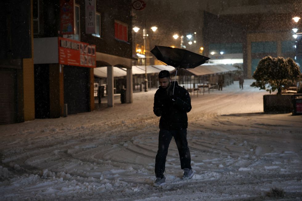
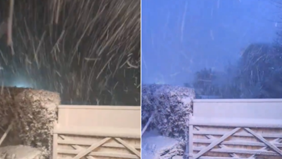
Britain has been battered by its "worst snowfall" in ten years after Storm Goretti swept across the nation, sparking transport chaos, widespread power cuts and a rare weather phenomenon.
The National Grid said more than 65,000 properties were left without power on Thursday evening, with the majority of outages concentrated in the southwest of England.
Around 11,000 homes and businesses were affected in the West Midlands, while several thousand properties across Wales also suffered blackouts.
Heavy snowfall brought major disruption to air travel on Thursday evening, with Birmingham Airport suspending all runway operations and Heathrow cancelling dozens of flights.
Around 11,000 homes and businesses were affected in the West Midlands
|REUTERS
TRENDING
Stories
Videos
Your Say
Planes at several airports were pictured coated in thick snow and ice, with travellers warned to check flight updates with their airlines.
Winds of up to 99mph slammed St Mary’s in the Isles of Scilly, with warnings of structural damage, towering waves, flying debris and widespread power cuts.
Motorists were seen battling flooded lanes and roads blocked by fallen trees in Cornwall.
Network Rail suspended all trains in Cornwall from 6pm Thursday, while Devon services between Exeter and Okehampton and Exeter and Barnstaple were also halted.
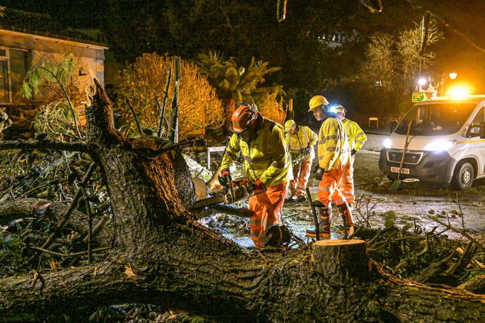
Motorists were seen battling roads blocked by fallen trees in Cornwall
|GETTY
Hundreds of schools across the country are expected to be closed on Friday, with thousands finishing early on Thursday afternoon due to the adverse conditions
Transport disruption is expected to continue into Friday morning.
Storm Goretti has also brough an exceedingly rare natural phenomenon to Britain - thundersnow.
One social media user in Pembrokeshire caught the dramatic event on camera.
One social media user in Pembrokeshire caught the dramatic event on camera
|HARVEY HARBER / X
Thundersnow occurs when a thunderstorm produces lightning and thunder, but instead of rain, it brings heavy snowfall.
The snow muffles the thunder, making it sound like a distant rumble, while reflecting the lightning and making it appear brighter at night.
Met Office chief forecaster Neil Armstrong characterised Storm Goretti as "a multi-hazard event, with the most significant impacts from snow in parts of Wales and the Midlands and the very strong winds in the far South West, though heavy rain in some parts of Wales and East Anglia also has the potential to bring disruption to many."
The storm, which was named by French forecaster Meteo France, has been linked to a phenomenon known as explosive cyclogenesis or a "weather bomb", occurring when central pressure drops by 24 millibars within 24 hours.
The Met Office indicated that the exceptional wind speeds could surpass those experienced during Storm Ciaran in 2023 and Storm Eunice in 2022.
The weather service wrote on its website: "It is very likely that there will be a risk to life, with substantial disruption to travel, energy supplies and possibly widespread damage to property and infrastructure.
"You should avoid travelling, where possible, and follow the advice of the emergency services and local authorities."
The most windy conditions are to believed to have passed their peak.
Our Standards: The GB News Editorial Charter