


Shivering Britons have been offered a glimmer of hope with a late-May gear shift promising sizzling 70F bank-holiday sunshine.
The wintry end to spring will simmer to a summer crescendo as Arctic winds retreat in a blast of tropical warmth.
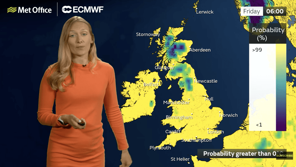
Snow, hail, rain and wind will beat a retreat for another year as pressure systems align in a blaze of glory.
Before thermometers rocket, however, Britons will have to grit their teeth through a few more days of bracing winds.
Met Office meteorologist Annie Shuttleworth said: “By the time we reach the next bank holiday, it could be much warmer as there are signs of things changing, but it’s not going to happen very quickly.
“This is because there is a move from low pressure to higher pressure dominating our weather.
“There is a change into the latter part of the week, and by the end of the week and the bank holiday weekend temperatures could be above average.
Low pressure, which has been dragging in cold winds and rain will weaken allowing high pressure to dominate – the summer gift-giver.
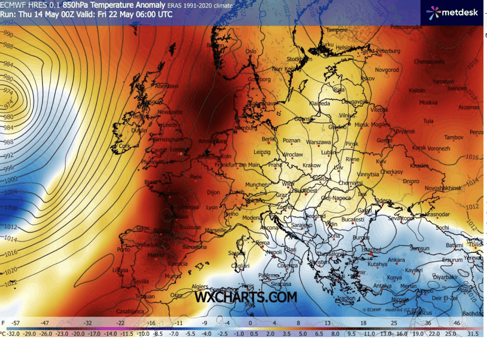
A region of high pressure over Scandinavia will start to move in from Monday
|WX CHARTS
A region of high pressure over Scandinavia will start to move in from Monday, triggering a U-turn on dropping temperatures.
Southern and southeastern parts of the country could be basking in the mid-20Cs by the bank holiday.
Ms Shuttleworth said: “We are expecting to see a Scandinavian high at the start of the week, and it becomes more centred over the UK as we move into the bank holiday.
“This means temperatures will be on the rise from the start of next week, and possibly in the low 20Cs for some areas by the bank holiday.
LATEST DEVELOPMENTS
Britons will finally get respite from the May chill
|MET OFFICE
“By Wednesday, we have high pressure moving in from Scandinavia and the near continent, they are merged together and move in from the south, and that could move the wetter weather further away from the UK, and it could turn a little bit drier across western areas.”
Britons will have to shiver through another bitter weekend, she said, before the tables turn on the cold.
She added: “At the weekend, low pressure down the North Sea will bring cold winds to easterly areas through the next few days.
“With northerly winds it is going to feel much colder than the actual temperatures suggest, which are below average.
“From the middle part of next week, the high pressure starts to win out.”
Long-range experts agree the unusually cold end to spring will make way for a sunny U-turn.
Temperatures in parts of the country could nudge towards 30C, thanks to warm winds from the Continent.
Jim Dale, meteorologist for British Weather Services and co-author of ‘Surviving Extreme Weather’, said: “There will be the risk of frost in parts through the end of May, but there are now signs that things will change in time for the bank holiday.
“30C is not out of the question into the start of June, and even higher through the month.
“This is especially so if we get a flow of air out of the Continent or North Africa.”