


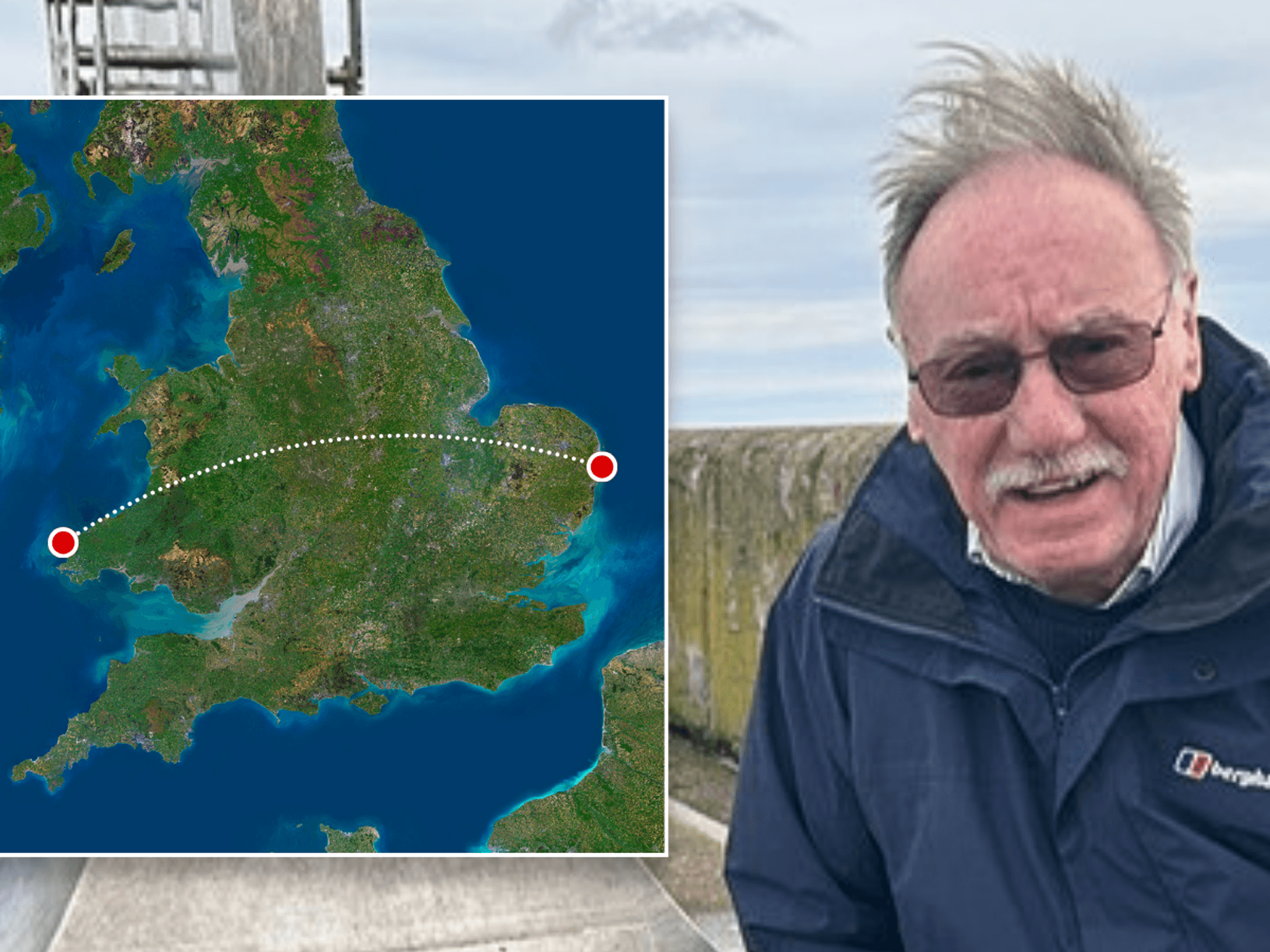


Britain may feel "more like autumn" as the winter-to-spring gears grind into action to deliver sunshine.
The flip of the seasons on Sunday will bring little change initially: from miserable temperatures and more rain.
Forecasters, however, promise a mid-week twist of fortunes, with thermometers to rocket in a blaze of sunshine.
High pressure, the deliverer of sunshine and warmth during spring and summer, is poised to snatch the baton from rain-bearing cyclonic lows.
TRENDING
Stories
Videos
Your Say
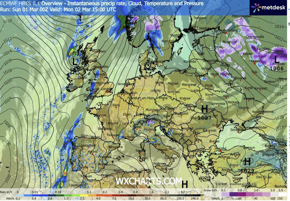
Met Office meteorologist Alex Burkill said: “It is going to be much cloudier and wetter as we go into Monday, as we stick with this unsettled theme, and it does look like it is going to be fairly wet.
“As we go deeper into next week, there are signs that we could see high pressure building, and so things should quieten down.
“Higher pressure looks more likely towards the east and southeast of the UK as we go through the beginning of March, but that does allow wetter weather towards the northwest.”
Southern and southeastern regions will enjoy the first tastes of summer as the northwest faces the rain.
Forecasters have promised a mid-week twist of fortunes
|WXCHARTS
It follows one of the wettest winters on record, drenching parts of the southwest with several times the seasonal rainfall average.
Weather systems will shift ending the ‘blocking’ pattern which stalled bands of rain over the West Country, triggering a major flooding incident.
Strengthening of atmospheric pressure across the North Atlantic – the North Atlantic Oscillation – will drive stronger westerly winds into Britain, shunting through storm systems before they have a chance to hover and dump their load.
Met Office meteorologist Aidan McGivern said: “It looks likely that we are going to get a westerly airflow, a positive North Atlantic Oscillation, and an enhanced westerly airflow with above-average temperatures and spells of rain from the west.
LATEST DEVELOPMENTS
“We have high pressure over central Europe of Iberia, occasionally bringing drier weather into the south.
“But during the first weekend of March, in terms of temperatures, the wind and the rain may make it feel more like autumn.”
Eastern and southeastern regions will get the first taste of sunshine as the west battens down for more rain.
In a twist in the winter tale, northwest Scotland, which has so far avoided the relentless deluge, will be first in the firing line.
Jim Dale, meteorologist for the British Weather Services and co-author of Surviving Extreme Weather, said: “It will be wetter to the northwest, and to a certain extent across the west generally, with the best of the weather later in the week to the southeast and the east.
“This is typical when you get high pressure to the south, it tends to push the wetter weather to the north.
“Towards the end of the week, there are signs that high pressure will build and that will bring drier and potentially warmer weather.”
Drier weather will come as a relief after official Met Office data reveal parts of the country have had one of their wettest winters on record.
England has seen 35 per cent of the average rainfall, with Northern Ireland 25 per cent over and Wales 14 per cent.
Scotland, however, escaped the crosshairs of the winter deluge. It saw rainfall totals 16 per cent lower than the winter long-term average.
Met Office senior scientist Mike Kendon said: “A near-continuous run of Atlantic systems over the past three months has brought persistent rain, damaging storms and few dry spells.
“It looks like this winter will close a very wet one for parts of southern England, remembered for its relentless rain as much as its intensity.”
Our Standards: The GB News Editorial Charter