


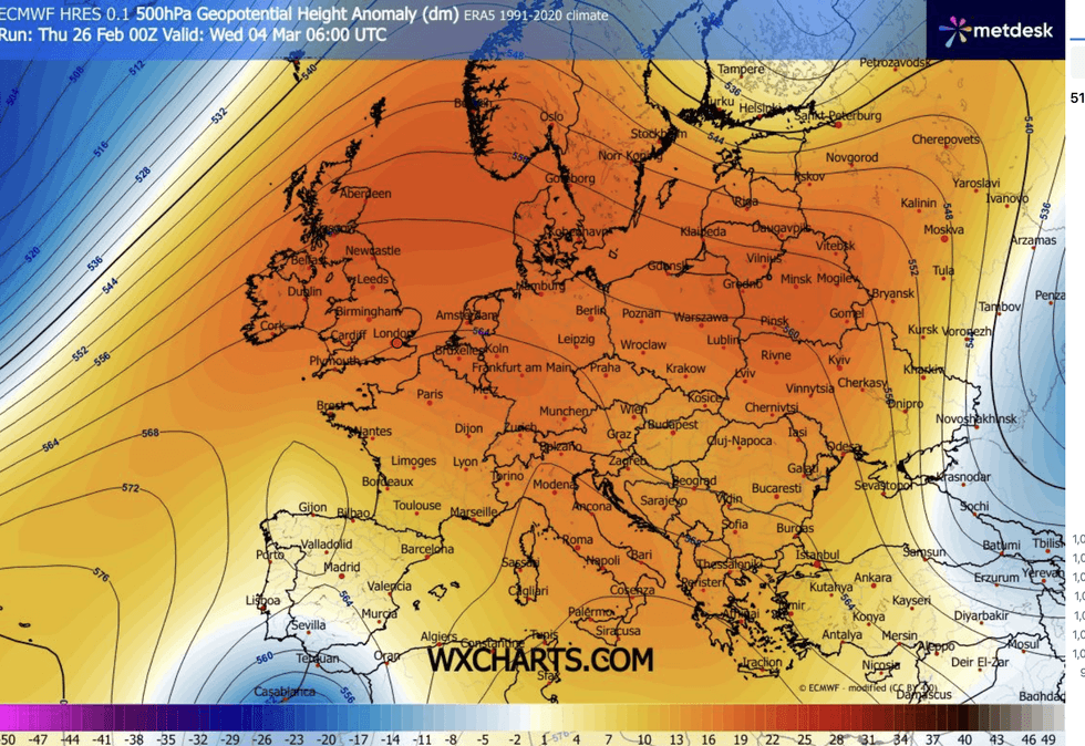
A soggy start to spring will give way to a long-awaited burst of sunshine and warmth with temperatures next week tipped to hit 70F.
Warm winds from the south steered by the Azores High – a weather feature typical for summer – promise an end to the relentless rain.
High pressure, which drives fine, dry weather in spring and summer is forecast to dominate the start of the season which kicks off on Sunday.
While Scotland and northern England will take longer to catch up to the warmth, southern Britain could nudge 21C (70F) by the end of next week.
Jim Dale, meteorologist for British Weather Services, said: “We could be seeing 20C or 21C by the end of the week, at a push, but it’s not out of the question.
“As March gets underway, spring is going to spring, and we are looking at temperatures rising and the return of sunshine.
“March is often a changeable and unsettled month, but we are still going to get the warmth, and we will start to see the benefits of the change in the Earth’s angle to the sun at this time of year.”
Major changes in meteorological weather patterns spell a finale to the relentless rain through winter.
A soggy start to spring will give way to a burst of sunshine
|WX CHARTS
Although much of the country faces further downpours at the weekend, the deluge will lose clout as March gets underway.
High pressure building from the south will nudge out the rain-bearing lows that have blighted winter.
Met Office meteorologist Alex Burkill said: “As we go into the beginning of March, there are signs that higher pressure is going to be more dominant.
“Things are going to be a bit drier and settled compared to what we have had through much of the year so far.”
LATEST DEVELOPMENTS
Temperatures will drop at the weekend
|MET OFFICE
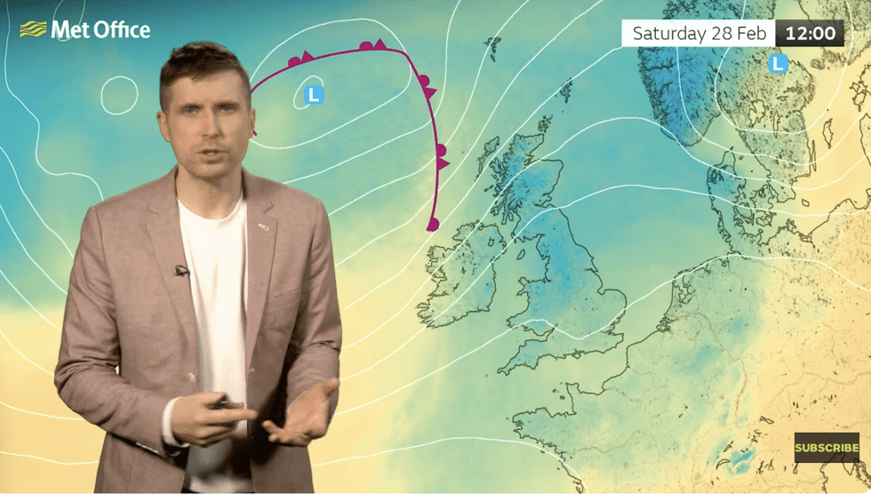
Temperatures will drop at the weekend with heavy downpours hitting parts of the country, he warned.
He said: “It is chilly as we go through Saturday, and it is going to feel a bit cooler than it has done through Tuesday and Wednesday.
“We have rain coming in from the west, and heavy at times, and it looks like it is going to hang around for a while, but it is a drier picture towards the south and the southeast.”
Southern and eastern regions are in the best seats for the arrival of spring with a greater chance of rain further north.
Temperatures will start to pick up in the run up to mid-week, as tropical southerly winds boost thermometers.
Mr Burkill said: “The further south and east you are, the greater chance you have of prolonged dry weather.
“The most likely set up for next Tuesday Is high pressure building, and that could bring more settled weather for most of us.
“High pressure could return as we go towards the end of the week, and if tit drifts towards the east, it could bring in a southerly wind and that could lead to our temperatures rising.”
This weekend will start dry before bands of rain move in from the Atlantic, hitting the flood-addled west.
Met Office meteorologist Aidan McGivern said: “Saturday is going to be drier for a time, but the next frontal system comes in from the west and then across the country, and it is going to bring some wet weather, once again.”