


Britons could be back in t-shirts within a week as a tropical hurricane kick starts a 20C Indian Summer.
Temperatures will leap skywards on a plume of warmth from the Continent swept in by the remains of Hurricane Gabrielle.
Rising mercury will be boosted by the return of high pressure, with the outlook for the start of October warm and settled.
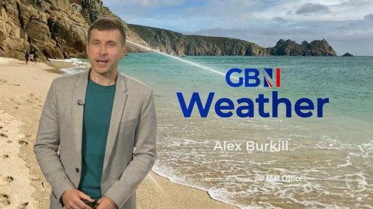
Met Office meteorologist Alex Burkill said: “Later next week, we are most likely to see high pressure most dominant, and that is the theme as we go through the rest of the week.
TRENDING
Stories
Videos
Your Say
“There will be a lot of fine weather around and we should start to see temperatures lifting a little bit.
“We will be dragging in air from the near continent, which at this time of year is less chilly than if we were bringing in air from the north.
“Pressure looks like it is going to be higher than average, and it looks like it is going to be drier than average.”
It will follow a potentially unsettled weekend as Hurricane Gabrielle passes over the Azores and hits southern Europe.
LATEST DEVELOPMENTS:
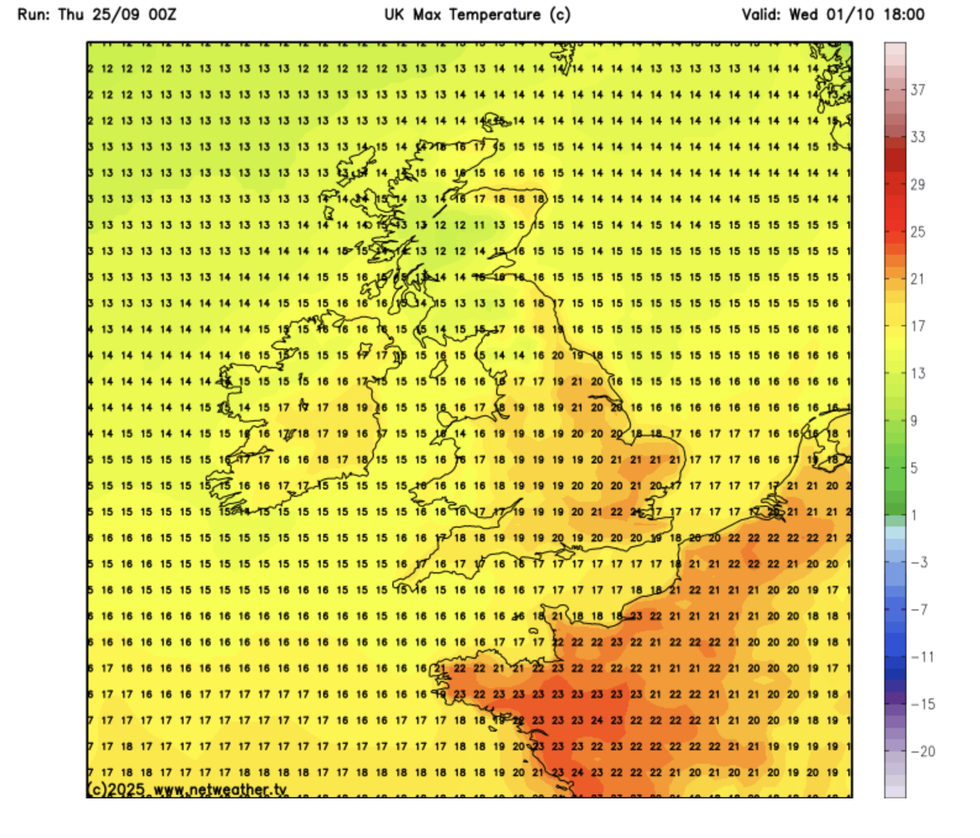
Temperatures will hit the 20Cs next week
|NETWEATHER
While the superstorm is expected to miss a hit with Britain, it will pull bands of rain across the country.
Scotland and the northwest face the heaviest downpours, although a shift in Gabreille’s track should widen its reach.
Burkill said: “Hurricane Gabrielle is tracking eastwards towards Europe, and the Azores have a hurricane warning out as this feature pushes through.
“But even though it is relatively far away from the UK, it influences our weather, but there are some uncertainties.
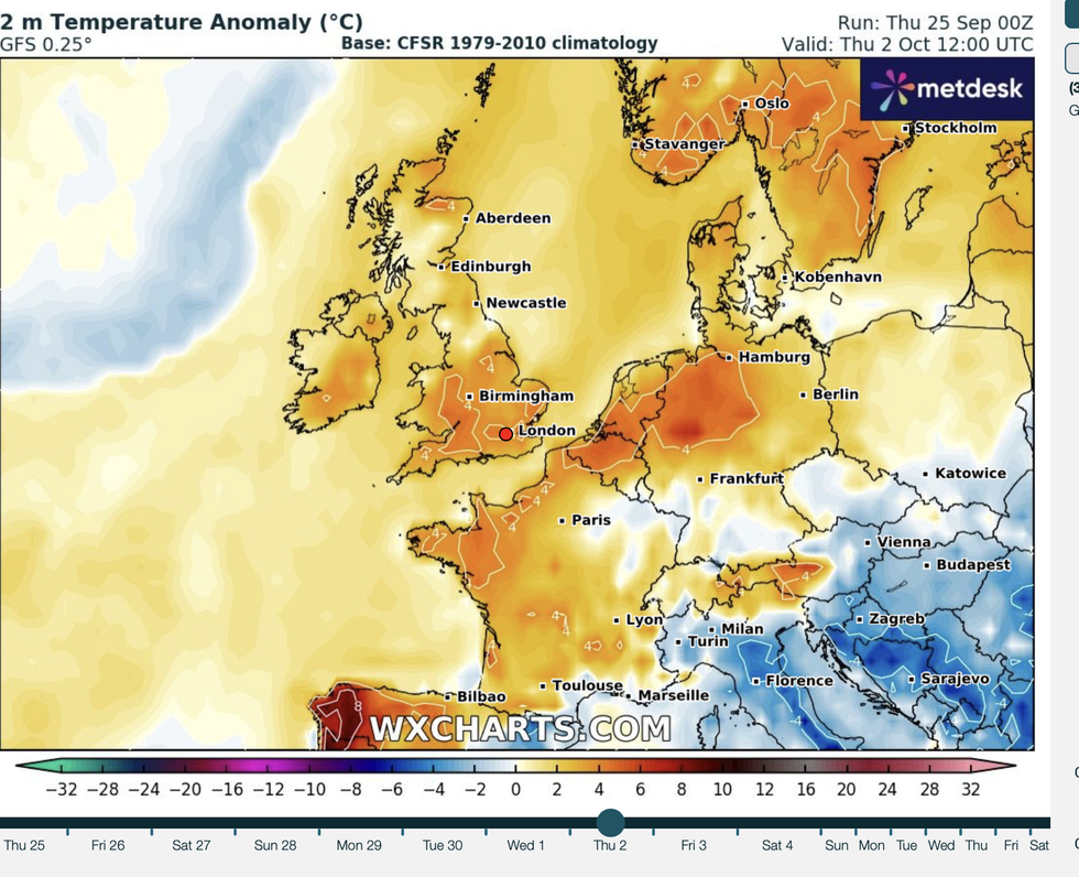
Rising mercury will be boosted by the return of high pressure, with the outlook for the start of October warm and settled
|WXCHARTS
“We are pretty confident of a band of rain pushing through eastwards on Saturday and clearing on Sunday.
“Some models have Gabrielle going a bit further north, and this could interfere with the front pushing across the UK and cause it to stall, and we could see some cloudier and wetter weather for a bit longer.”
But Gabrielle will herald the start of rising temperatures, driving warm air in from the Continent.
Weather models reveal temperatures in the high teens this weekend before lifting into the 20Cs next week when high pressure returns.
Met Office meteorologist Honor Criswick said: “With a change in wind direction, there is going to be a different feel to the weather, and it is not going to feel as chilly.
“Gabrielle is going to have an impact on our weather because it is linked to a frontal system that is moving in from the west, and we will start to see a little bit of warm advection.”
A true Indian summer can only happen after the first widespread frost of the season or after the start of October, whichever comes first.
With high pressure likely to dominate through the coming weeks, higher temperatures are possible.
Jim Dale, meteorologist for British Weather Services and co-author of ‘Surviving Extreme Weather’, said: “An Indian summer is likely this year, and it is likely we will keep the milder temperatures with the possibility of something even warmer as we go through the middle of autumn.
“September overall is ending warmer and quieter than is typical, and this pattern doesn’t look like making any major changes.
“We are losing the Atlantic and going into a more southerly airflow, and with that temperatures are going to rise.”