


Britons will swap t-shirts for umbrellas as summer arrives in a deluge of downpours and warnings for floods.
May’s historic heatwave is about to become a distant memory as a major weather U-turn plunges the nation into a week of rain.
Torrential showers sweeping from the Atlantic will fall on baked ground, running off in torrents and sparking warnings for floods.
Temperatures nationwide will be around 15C lower than last week, when the freak spring heatwave tumbled records.
Met Office meteorologist Marco Petagna said: “Showers could turn quite heavy and thundery, especially in parts of England, on Tuesday afternoon.
“Temperatures will be a little bit cooler, perhaps reaching 21C in the southeast, but elsewhere, they will be generally in the mid to upper teens.
“Temperatures in towns and cities will hold out into the low to mid teens into the early hours of Tuesday morning, perhaps a little bit cooler in some rural spots.”
Last week’s exceptional heat was the result of high pressure focussing strong sunshine under a dome of descending, warming air.
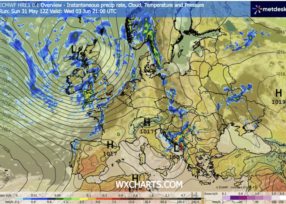
Torrential showers will fall on baked ground
|WX CHARTS
High pressure, the usual driver of fine weather during summer, is about to retreat in favour of low pressure, the driver of rain.
Atlantic weather fronts will push across the country through the coming days plunging temperatures from spring’s record highs.
Met Office meteorologist Annie Shuttleworth said: “Low pressure is set to dominate our weather, and that means quite a lot of rain and quite a lot more cloud than we have seen lately, and that will limit how warm it will be.
“There will be some drier periods, but we are not looking at any prolonged dry weather through the next week.
LATEST DEVELOPMENTS
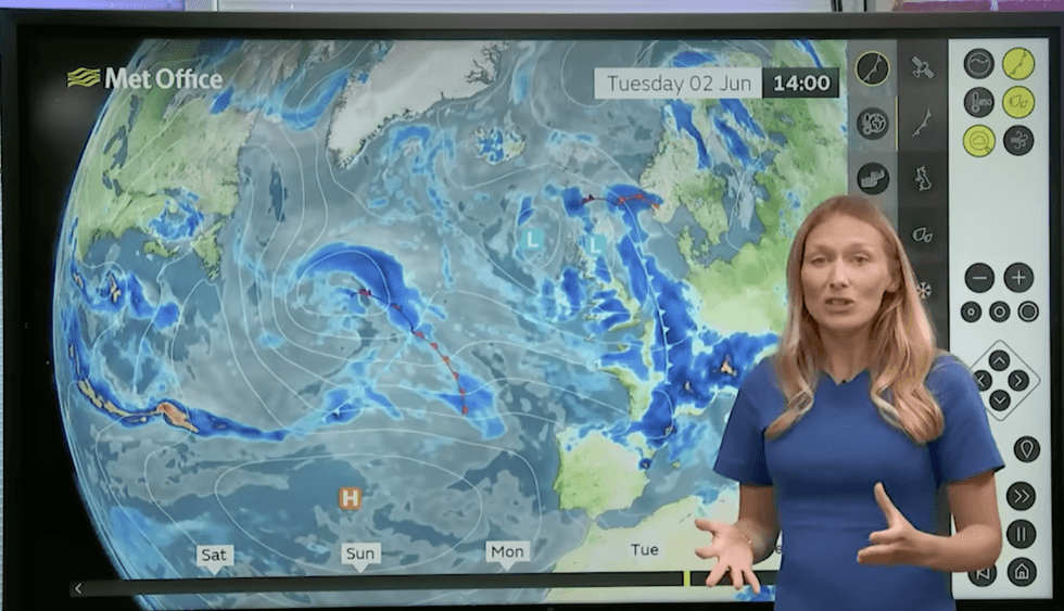
The Met Office says to expect some flash flooding
|MET OFFICE
“Much of the rainfall will be focussed across western areas, and then we will start to see more of that showery rain push into the east.
“It has been a very dry spring, and some areas are in need of some rainfall, so it may be welcome, but it does mean that we see less of that warm and sunny weather.”
Heavy downpours will arrive charged with electrical energy, sparking sporadic thunderstorms.
Heavy downpours in parts of the country which have seen little rain so far will bring a risk of flash floods.
Jim Dale, meteorologist for British Weather Services and co-author of ‘Surviving Extreme Weather’, said: “Thunderstorms could be quite powerful during the next week, and with these there will be the risk of heavy showers.
“This could trigger some flash flooding in parts of the country where the ground is dry after the hot weather.
“In terms of temperatures, we are going to see something much more usual for the start of summer, so nothing exceptional like last week.
“It is a mixed week of more temperate weather.”