










Britain’s ‘historic’ heatwave will fizzle in a week of rain as the nation braces for an unusually soggy start to summer.
Temperatures nationwide will slump through the next few days leaving in their path a trail of broken records.
Southern and eastern regions will hold onto the heat into the weekend before everywhere feels cooler into the start of June.
Met Office meteorologist Aidan McGivern said: “The historic spell of May weather is not quite over yet because it is going to stay hot before the start of climatological summer, when normal service resumes.
“Temperatures begin cooling off before Sunday and Monday when they are just a couple of degrees above average.
“A very large and dominant area of high pressure has been dominating proceedings, allowing air to sink and compress, assisted by strong sunshine, allowing temperatures to rise into the low 30Cs.
“As we end Friday, we have low pressure systems gearing up to bring weather fronts.”
Hot weather over the past week has been driven by a dome of high pressure over Britain.
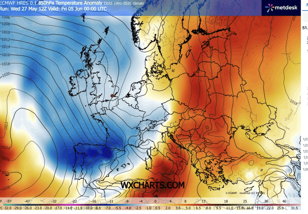
Temperatures will dip
|WX CHARTS
High pressure drives strong sunshine above a thickening layer of falling air, pushing temperatures skywards.
The heat dome will weaken over the coming days, allowing low pressure to bring wind and rain in from the Atlantic.
Falling temperatures will bring a ‘notably’ cooler feel into the start of June and the official climatological summer.
Mr McGivern said: “A more active front brings a wetter spell on Saturday for Northern Ireland and Western Scotland, but it will be another fine day for central and eastern areas.
LATEST DEVELOPMENTS
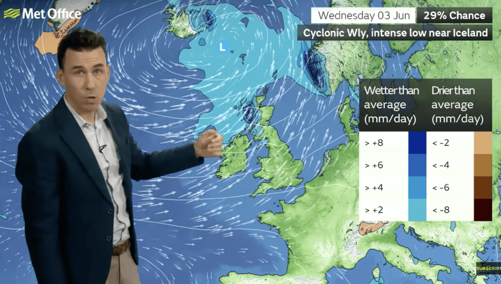
Bookmakers remain confident next month will join May in the record books
|MET OFFICE
“We end spring with an area of low pressure just arriving in time for climatological summer, so Monday is likely to bring wet weather into the north and west before moving eastwards, and once that is through, another low pressure is queueing up to come in.
“That is the theme for next week, areas of low pressure coming in from the west driven by an Atlantic jet stream which is more south-shifted compared to usual for the time of year, and these will bring spells of rain, followed by a gap, before the next low comes in.
“Westerly winds are likely to dominate, and with this kind of weather pattern we are likely to see wetter-than-average weather in western Scotland, and more widespread rain on Thursday.”
Despite the incoming change, bookmakers are confident next month will join May in the record Books.
Alex Apati of Ladbrokes said: “Things are about to get a whole lot hotter, and as far as the odds are concerned, more record-breaking temperatures could be on the way."
As the mercury dips, long-range experts warn May’s scorcher could be a taste of things to come.
Jim Dale, meteorologist for British Weather Services and co-author of ‘Surviving Extreme Weather’, said: “It is not out of the question that we would see a 40C somewhere in the country this summer.”