


A ‘cold pool’ of air dragged in on the jet stream threatens to plunge parts of Britain back into a winter chill.
Icy winds sweeping the east coast with a shivering ‘haar and fret’ sea fog will push thermometers below freezing.
While western daytime temperatures will reach double figures, to the east, the chilly blast will bring frost and showers.
The culprit is the jet stream, the fast-flowing ribbon of air that circulates high in the atmosphere, bending into a ‘trough’ to pull cold winds into Britain.
TRENDING
Stories
Videos
Your Say
Met Office meteorologist Alex Deakin said: “The jet stream is dipping in the Atlantic, but instead of arcing away of the UK, there is a bit of troughing, and that is going to allow a pool of cold air sit aloft.
“With the winds coming in from the North Sea, and the winds coming in from the east, we are going to see plenty of showers coming into the east on Monday and Tuesday.
“This time of year, the North Sea is cold, so the easterly wind will bring chilly conditions to the east coast, some haar and fret and some showers.”
Britain’s weather will be dominated by high pressure, caused by sinking air bringing largely clear skies.
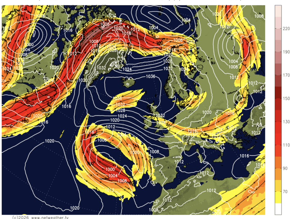
Britain's weather will be dominated by high pressure
|NETWEATHER
But instead of drawing warm winds in from the south, as is typical for spring and summer highs, it will drive a north-easterly.
Caught in the trough loop of the jet stream, the high will creep northwards, subtly changing wind direction.
The change in temperatures, though, will be less subtle, with parts of the country feeling much chillier compared to the start of the month.
Mr Deakin said: “The high pressure that is coming in is not a guarantee of fine and sunny weather.
LATEST DEVELOPMENTS
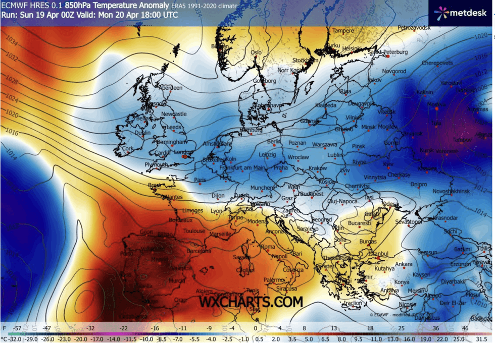
An icy chill will sweep in
|WX CHARTS
“While the high isn’t moving very fast it edges up into the north, and it still dominates the weather.
“As we go through the next few days, cooler air comes in ahead of a cold front and with the easterly wind, it will be western areas that see the driest and brightest weather.
“But in the east, expect quite a few showers and expect quite a chilly wind.”
Thermometers will swing wildly between day and night with so-called ‘diurnal’ temperatures dropping from the mid-teens to below freezing.
Exposed regions will come under the threat of frosts prompting warnings for gardeners.
Jim Dale, meteorologist for British Weather Services and co-author of ‘Surviving Extreme Weather’, said: “There will be a bit of local ground frost about this week with some fog patches.
“The diurnal temperature range will be noticeable with temperatures dropping sharply overnight.
“We are under the influence of high pressure, but rather than to the south, it is to the north and this is bringing in air from a colder direction.”