


Britian’s autumnal gloom will give way to a "hostile week" of rain and gales before plunging temperatures usher a taste of winter.
Huge changes in weather patterns this week will see high pressure give way to 70mph Atlantic storms.
Nowhere will escape heavy rain through the coming days as coastal and exposed regions brace for damaging gusts.
As winds turn northerly, temperatures will plummet, bringing icy frosts and the risk of a flurry of snow.
TRENDING
Stories
Videos
Your Say
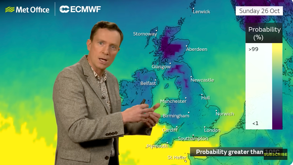
Met Office meteorologist Alex Deakin said: “There is a probability that it will be turning a bit colder as we head into the weekend, which is for many places the start of half term.
“There are low pressure systems coming through next week, so it opens the door to a change to something much more changeable and more unsettled.
“It will be wetter than average across all of England and Wales and parts of eastern Scotland, and it is likely to last through much of the week.
“We keep low pressure nearby for most of the week, and with generally with low pressure to the northwest of the UK, and there are a couple of weather models showing quite deep areas of low pressure potentially to the south.”
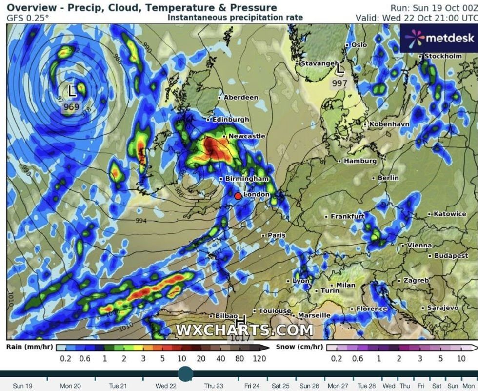
Nowhere will escape heavy rain through the coming days as coastal and exposed regions brace for damaging gusts
|WXCHARTS
Stormy low-pressure systems will attack the UK from both ends, although it is southern regions facing the strongest winds.
Wind and rain will turn ‘heavier’ through the week with the potential ahead of the weekend for something more ‘angry’.
Mr Deakin said: “We could keep our eyes open for low pressure systems that could get a little bit angry coming in from the south during the middle to latter part of next week.
“There will be spells of rain moving through, and the winds will be stronger than they have been, and we could see some strong winds close to parts of the south.
LATEST DEVELOPMENTS
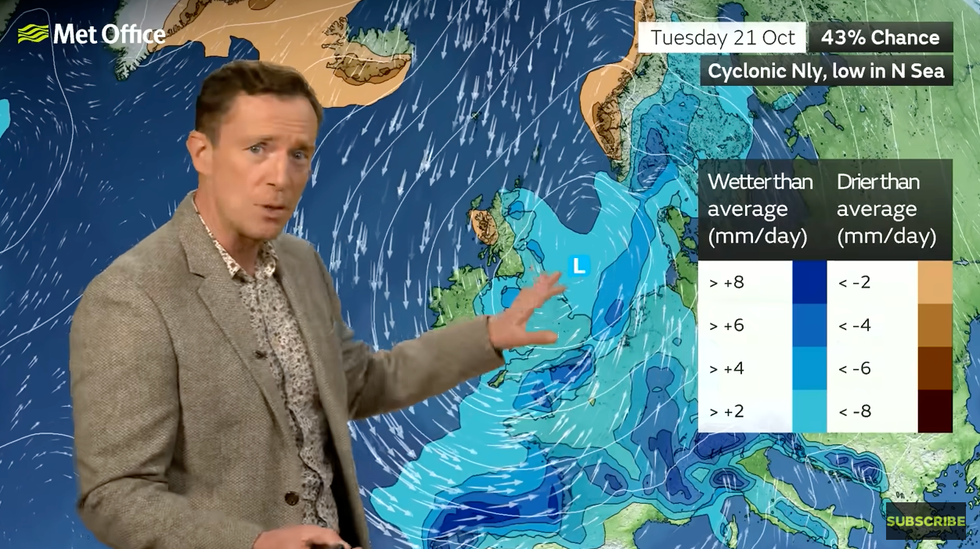
'We could keep our eyes open for low pressure systems that could get a little bit angry coming in from the south during the middle to latter part of next week,' Mr Deakin said
|MET OFFICE
“Towards the end of the week, there are some signals that we could see something a little bit colder.”
The change will come as a shock to the system for many after a fortnight of still, ‘anticyclonic gloom’.
High pressure wedged over the country trapping low cloud and mist has blocked almost all sunlight.
While northerly winds will bring some clearer skies, they will also throw ‘everything but the kitchen sink’.
'Towards the end of the week, there are some signals that we could see something a little bit colder,' Mr Deakin added
|MET OFFICE
Jim Dale, meteorologist for British Weather Services and co-author of ‘Surviving Extreme Weather’, said: “This is going to be a pretty hostile week, with the return of wind, rain and much colder temperatures.
“A major change in the weather will throw everything but the kitchen sink after a fortnight of very calm conditions.
“The first threat is going to come from heavy rain and winds, which in parts could hit 70mph, and then northerlies are going to bring down temperatures.”
Met Office meteorologist Greg Dewhurst added: “We have had high pressure in charge for well over a week and that is all going to change.
“Low pressure is going to dominate the weather for at least the next week, bringing showers and longer spells of rain across the UK and some stronger winds.”