
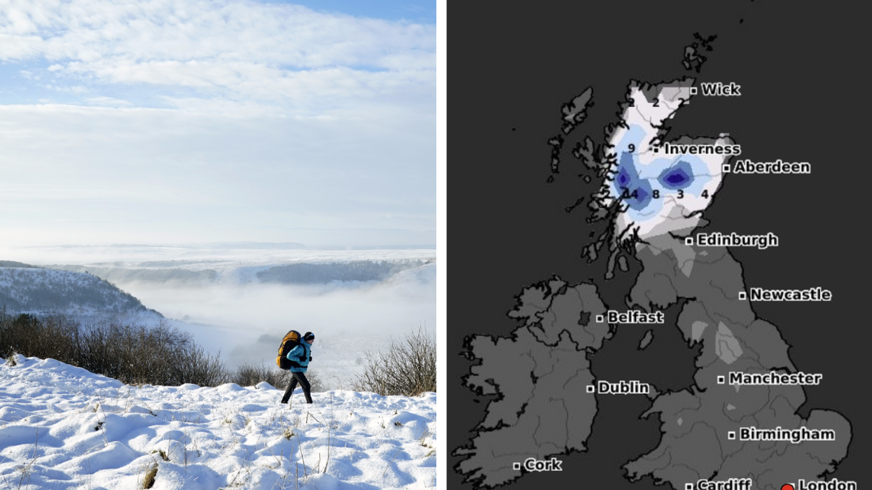


The Met Office has warned snow and ice will return to the UK in the New Year as their long-range weather forecasts warn conditions will become colder going into January.
The Met Office is currently forecasting the first week of 2024 to be a cold one with waves of ice and cold weather, with snow in more rural areas of Scotland and Northern England.
Forecaster WXCharts is predicting a cold start to January, with snow reaching depths of up to 14cm in the Scottish highlands on January 2.
Brits are expected to wake up to low temperatures on New Year's Day, with snow of 6cm around Inverness and Aberdeen.
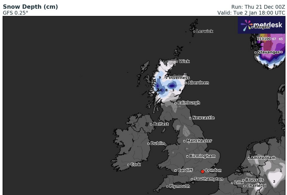
The weather charts show snow on January 2
|WXCharts
However, for the majority of people, it is expected to not be the winter wonderland to mark in the New Year, with periods of unsettled weather.
The Met Office forecast for December 26 to January 3 said: "Most likely continuing unsettled with bands of rain crossing the UK with brighter conditions and showers in between.
"The wettest and windiest conditions are most likely in the north and west. Short-lived colder spells remain possible, with hazards such as snow and ice, particularly in the north.
"The chance of these colder spells slightly increases moving through January, with a low likelihood of a more prolonged spell of cold weather developing towards mid-month."
LATEST DEVELOPMENTS:
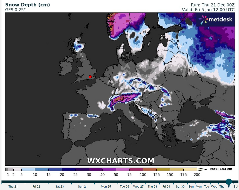
The latest forecast for snow depth across Europe
|WXCharts
Coming into the New Year, the temperature is expected to drop below zero in rural areas in the first week of January.
The forecast for January 4 to January 18 from the Met Office said: "Most likely continuing unsettled with bands of rain crossing the UK with brighter conditions and showers in between.
"The wettest and windiest conditions are most likely in the north and west. Short-lived colder spells remain possible, with hazards such as snow and ice, particularly in the north.
"The chance of these colder spells slightly increases moving through January, with a low likelihood of a more prolonged spell of cold weather developing towards mid-month."
It comes as the hopes for a widespread white Christmas have been sadly dismissed by the Met Office.
Experts said that, while there may be wintry showers in the north with hail and thunder, the majority will be windy and cold, with the chance of some showers.
Met Office chief meteorologist Paul Gundersen, said: "Beyond Christmas Day further rain or showers and strong winds are likely for many, and again any sleet and snow will be mainly over the hills of Scotland, as is often the case in December."