


Emergency alerts containing guidance on how to stay safe amid "dangerous" weather are being sent to hundreds of thousands of Britons.
Around half a million people are expected to receive the alerts, with the first sent to people living in the Isles of Scilly at around 3pm.
The second alert was issued by the Cabinet Office to people living in Cornwall at about 5pm.
Both areas are currently covered by red warnings put in place by the Met Office.
TRENDING
Stories
Videos
Your Say
A Cabinet Office spokesman said in a statement this afternoon: "The Met Office has issued a red warning for the Isles of Scilly and Cornwall from 4pm until 11pm on Thursday, January 8.
"In light of the damaging winds and associated disruption, the Cabinet Office is issuing two Emergency Alerts to people in affected areas.
"The first was sent at approximately 3pm on Thursday, January 8 to people in the Isles of Scilly. The second will be sent at approximately 5pm on Thursday, January 8 to people in Cornwall.
"The Emergency Alert system will send a message to every compatible mobile phone in the impacted areas, containing information about the red warning and guidance on how to stay safe.
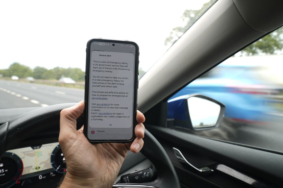
The first emergency alert was sent out to phones in the Isles of Scilly at around 3pm
|PA
"Compatible mobile phones will make a loud siren-like sound even if they are set on silent. The sound and vibration will last for about 10 seconds."
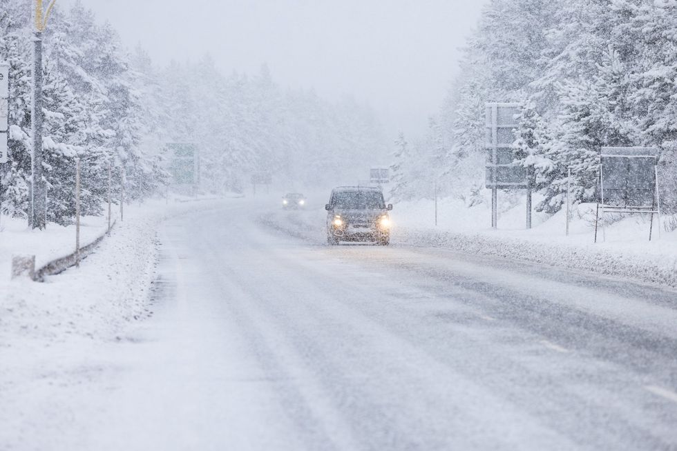
The alerts have been issued as Storm Goretti is set to bring 100mph winds and as much as 30cm of snow to some parts of the UK.
The red weather warning is in place until 11pm this evening amid what the Met Office describes as "dangerous, stormy" winds.
The forecaster said "violent gusts" over two or three hours will hit parts of Cornwall and the Isles of Scilly.
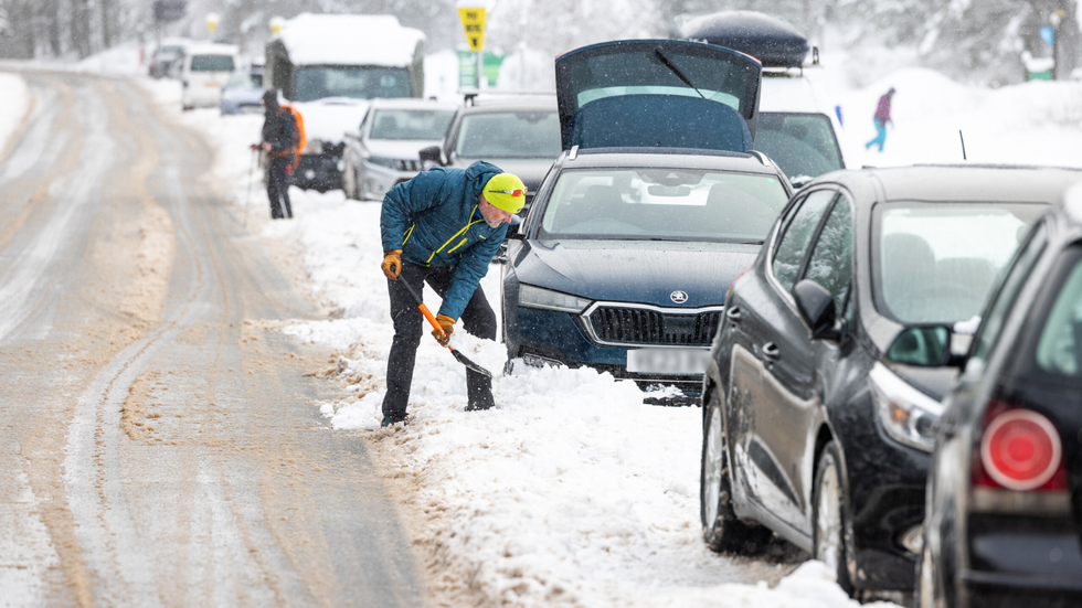
As much as 30cm of snow could fall in some parts of the country
|PA
The warning says people should expect damage to buildings and homes, very large waves, flying debris resulting in danger to life, power cuts and public transport cancellations.
Storm Goretti, named by French weather forecaster Meteo France, has been described as a “multi-hazard event” by the Met Office.
Weather warnings have been issued for snow, wind, rain and ice across the country, ahead of likely “disruption and dangerous travelling conditions”.
Met Office chief forecaster Neil Armstrong said: “Storm Goretti will be a multi-hazard event, with the most significant impacts from snow in parts of Wales and the Midlands and the very strong winds in the far South West, though heavy rain in some parts of Wales and East Anglia also has the potential to bring disruption to many.
The Met Office has described Storm Goretti as a 'multi-hazard event'
|PA
“Goretti will bring snow on its northern edge, this most likely over Wales and the Midlands. Here accumulations of 10 to 15cm are likely, widely, with 20 to 30cm possible in some places, especially higher ground in Wales and the Peak District.
“An amber warning has been issued where the greatest risk of disruption is likely on Thursday night into Friday morning.
“This is a complex spell of severe weather and I’d advise people in the warning areas to keep up to date with the forecast and messages from local authorities.”
A yellow warning for wind has also been issued for the rest of the south coast and Wales, where gusts of up to 70mph are forecast.
The Met Office said the “exceptional” wind speeds could be stronger than recent storms such as Ciaran in 2023 and Eunice in 2022.
Meanwhile, an amber warning for snow runs from 8pm until 9am on Friday covering parts of Wales, the Midlands and Yorkshire.
The forecaster said rain associated with the storm in these areas will turn to “heavy snow”, which may lead to some rural communities being cut off.
More From GB News