


Britons are about to swelter in the first "tropical nights" of the season as temperatures rocket almost 20C.
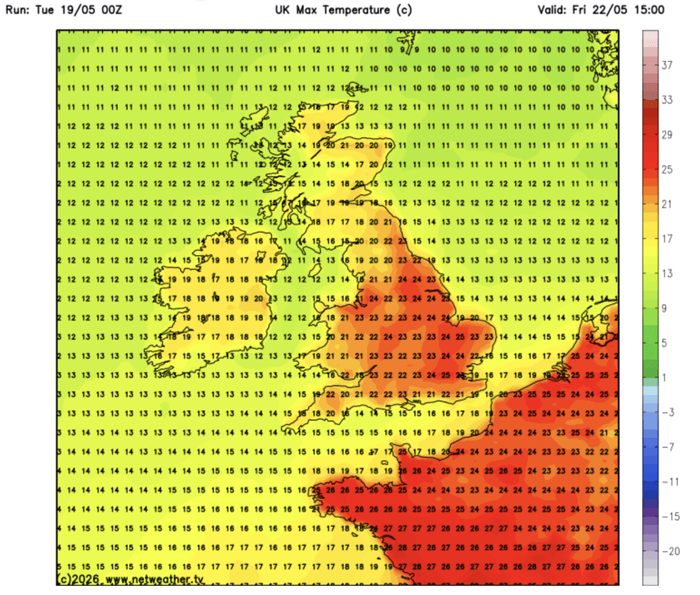
Friday is tipped to be the hottest day of the year so far as a plume of warmth floods in from Africa.
Highs of 30C on Saturday will be boosted by stifling humidity, with overnight temperatures unlikely to drop below 20C – the definition of a tropical night.
Jim Dale, meteorologist for British Weather Services, said: “It is going to start to feel uncomfortable, as not only the temperatures, but humidity, start to rise.
“Temperatures will peak at the weekend, and we could see highs of 30C in parts, which may not fall below 20C overnight.
“This means we could get the first tropical night of the season.”
The mercury will rise from today, with near-30C warmth on Friday, surpassing the 26.6C record for the year so far set in London in April.
Northerly winds, the driver of cold weather through the start of the month, will trade places for balmy southerlies.
Britons are set to swelter in the first ‘tropical nights’ of the season as temperatures rocket to nearly 20C
|NETWEATHER
Mr Dale said: “This is coming over the Continent originally from Africa.
“The highest temperatures in the UK will be in the south, the southeast and parts of eastern Britain.”
Summer’s early arrival follows a wet and gloomy start to the week, which has dumped inches of rain over parts of Britain.
Stormy weather patterns from the west will gradually recede as high pressure builds, the driver of sunshine and warmth.
Thursday will bring the real gear shift, with long spells of hot sunshine and temperatures in the 20Cs.
LATEST DEVELOPMENTS
Friday is tipped to be the hottest day of the year so far as a plume of warmth floods in from Africa
|WXCHARTS
A spokesman for the Met Office said: “As we move into Wednesday, there is a temporary easing in the unsettled conditions.
“Temperatures continue their gradual rise, with many areas again reaching the high teens, and southeastern parts potentially touching around 20C where sunshine is more prolonged.
“A more notable shift in the weather pattern begins from Thursday onwards, as high pressure starts to build from the near continent.
“This change will help to push weather fronts further north and west, allowing southern and eastern areas to turn drier and increasingly warm.”
Late spring sunshine is expected to hold out through the weekend and into the final part of May, according to Government meteorologists.
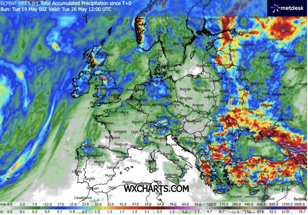
Rain, however, will put a dampener on the heat in parts of the country with Saturday threatening heavy showers.
Met Office deputy chief forecaster Tony Wisson said: “The weather later this week will feel like a marked contrast from recent days, with warm, fine and settled weather for many.
“While the warmth will persist through the Bank Holiday weekend, conditions will turn more unsettled later Friday and into Saturday, with a mix of cloud, showers and longer spells of rain, and there is also the chance of thundery rain in places.
"Nonetheless, temperatures should remain warm or very warm through Saturday and into Sunday, with highs around 26C in the south across the weekend and into next week.”
Our Standards: The GB News Editorial Charter