


Britain is back on storm alert as an "impactful" system "similar to Goretti" barrels in loaded with wind, rain and snow.
Less than a week after 100mph gales and torrential snowfall unleashed the worst winter assault for years, warnings are in force for weekend disruption.
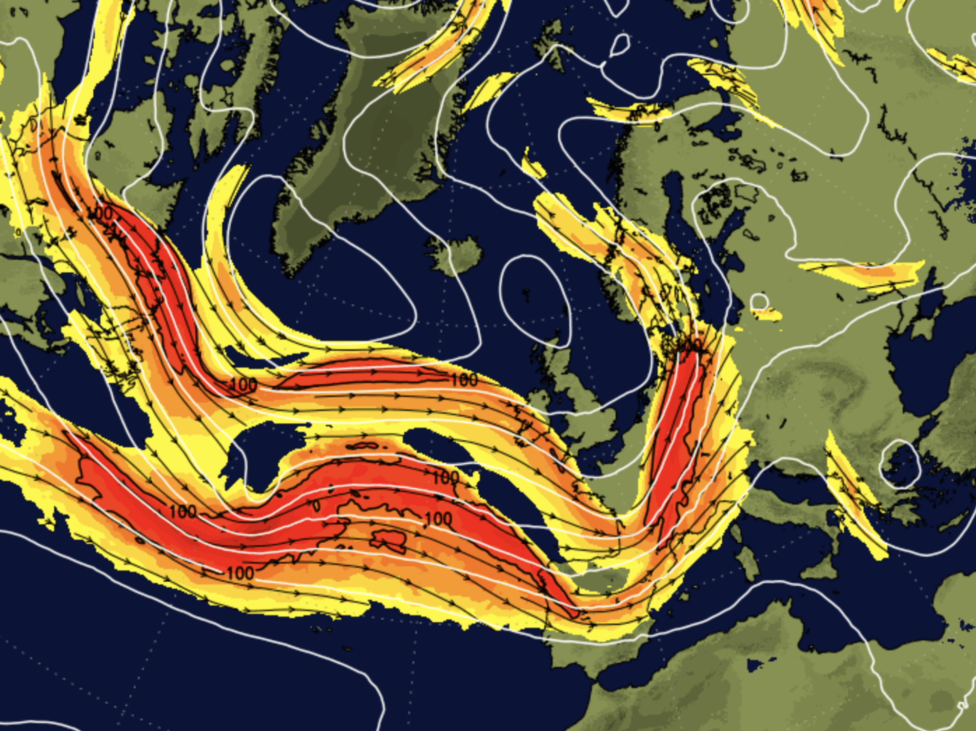
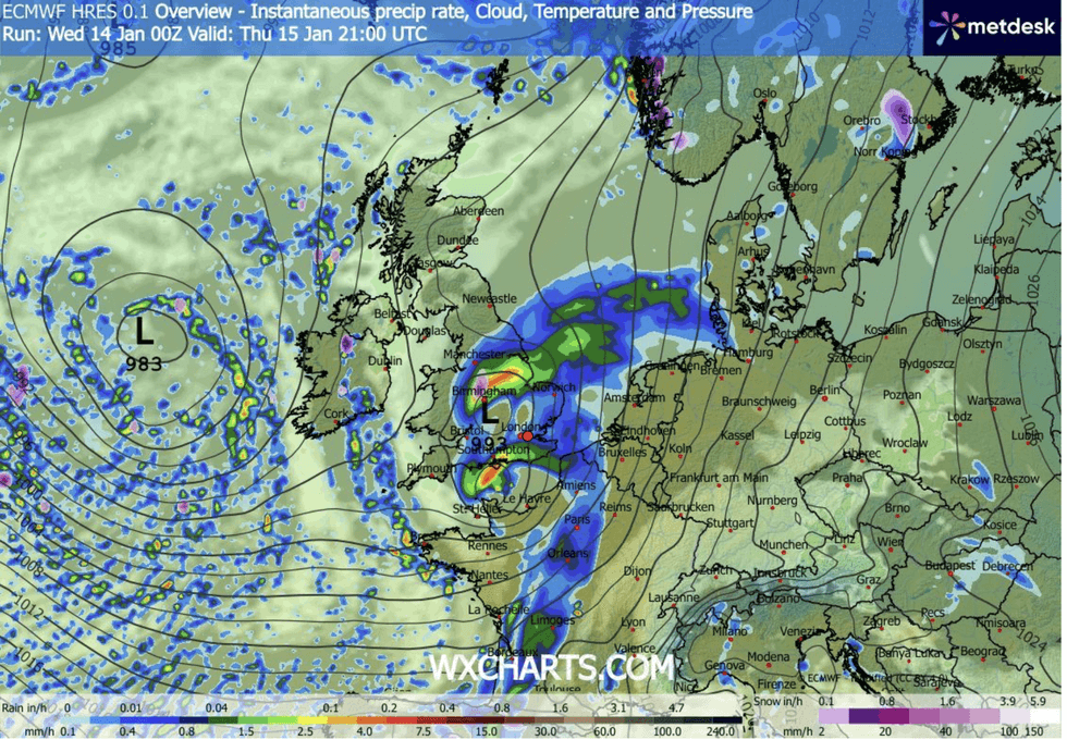
A rapidly deepening low-pressure system hurtling on the jet stream across the Atlantic is due to hit on Thursday.
Like Goretti, its wavering path en route to Britain has meteorologists scratching their heads over where will suffer the greatest impact.
TRENDING
Stories
Videos
Your Say
Met Office meteorologist Aidan McGivern said: “Thursday’s system shows some differences in the depth and the track of the low.
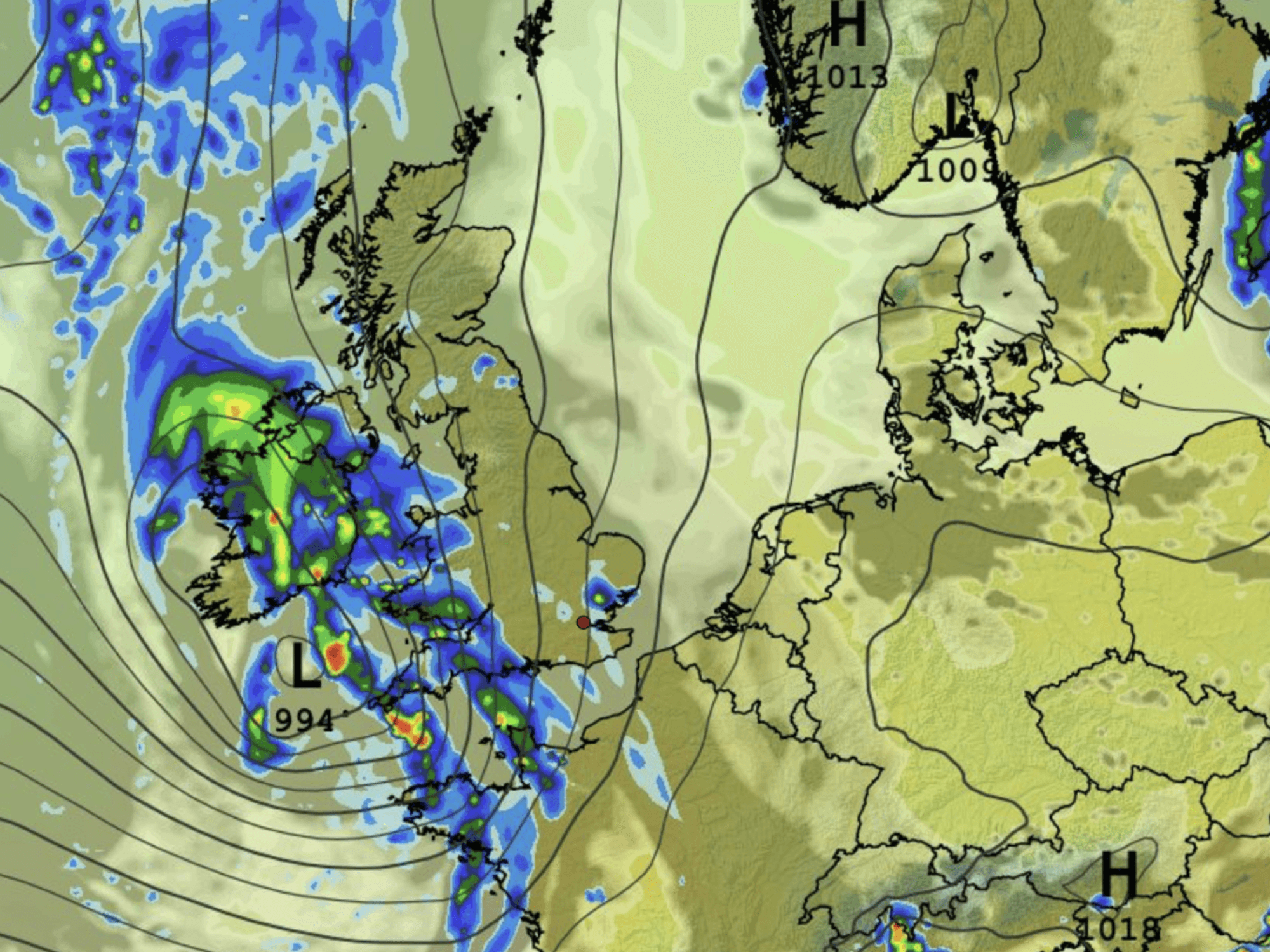
“Most probably, the low will run across central parts of the UK, and we have gusts of 40mph to 50mph inland and 70mph on exposed coasts of the south.
“It is going to bring a spell of wet and windy weather, and it will mix with cold air to bring a bit of snow to central areas.
“But the snow is less widespread at lower levels and less deep over hills, and the winds are nowhere near as strong, but there is still the potential for impact.”
WXCHARTS is forecasting downpours across the UK
|WXCHARTS
Southwestern counties are braced for inches of rain on top of last week’s downpours that pushed the region to flood point.
While winds are not expected to match Goretti’s near-historic speeds, coastal regions are on alert for near-hurricane-force gusts.
McGivern said: “The rain is the biggest cause for concern at the moment, because it is going to be a wet spell on Thursday night into Friday.
“We are not talking on the level of Storm Goretti, but impactful winds none the less.
LATEST DEVELOPMENTS
“It is similar to Storm Goretti in that it is an area of low pressure a week later that is being picked up by the jet stream.”
As winds come in from the south, temperatures will rise pushing thermometers to double figures in the south.
Further north, however, ice and snow through the middle of the month will continue to pose a risk.
The Met Office has warnings in force across the southwest for torrential downpours to dump more than an inch and a half of rain.
Once again, those in affected areas are warned to prepare for travel disruption, power cuts and property damage.
A Met Office spokesperson said: “The position and depth of the developing low-pressure system remains a key area of uncertainty for Friday.
“Some model runs indicate a deeper low tracking further north, which would introduce stronger winds, potentially gale force in coastal areas, and heavier rain affecting parts of Northern England and Scotland.
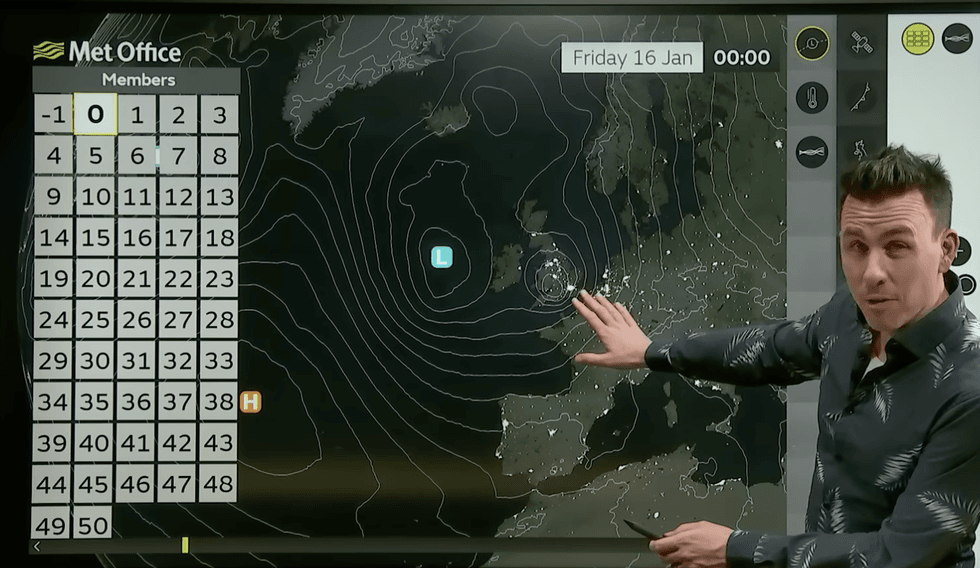
Met Office expert Aidan McGivern warns of an storm incoming
|MET OFFICE
“In this scenario, higher ground in Scotland and the Pennines could see some snow where the system meets colder air aloft.”
Further heavy rain threatens the risk of flooding in parts of the country which saw heavy rain with Goretti.
Jim Dale, meteorologist for British Weather Services and co-author of ‘Surviving Extreme Weather’, said: “Further heavy rain will push river and groundwater levels up, and coming after last week, the main risk will be from flash flooding.”