







Baking Britain is facing a summer of heatwaves with the next three months likely to be scorched in extreme temperatures.
As spring records tumble in unprecedented 35C heat, experts warn the past week could be just a taster of what’s coming.
The furnace will be fired by global meteorological factors, including rising sea temperatures and an El Nino warming of the eastern Pacific.
Britain could once again reach 40C, only ever hit once in 2022 when the mercury bubbled to 40.3C in Lincolnshire.
Jim Dale, meteorologist for British Weather Services, said: “We are going to get more heat like this through the summer, and it is a bit like a pan boiling until it boils over, and we see 40C, which is not out of the question.
“From what we have seen so far this week before summer has even started, if we get another plume, which is inevitable, we can expect more exceptional summer temperatures.
“This is to do with many factors, including climate change.”
Hot weather over the past week has been driven largely by high pressure building over the UK, driving clear skies and strong UV sunshine.
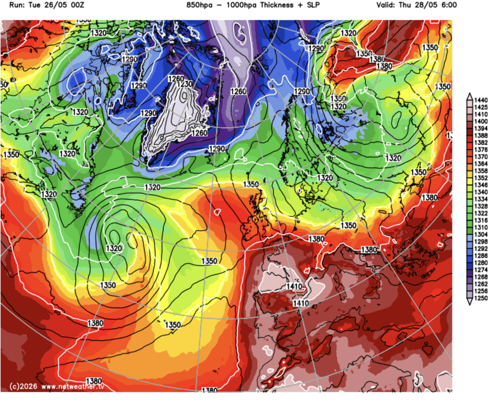
Britain could hit 40C during summer
|NETWEATHER
The outlook through summer will be steered, again, by local rising pressure, but also wider meteorological drivers.
This year threatens a ‘super El-Nino’ warming of the eastern Pacific which could have devastating impacts on global weather patterns.
In the UK, it can drive warmer summers and colder winters, with the effects feared to last into 2027.
Also in the mix will be ground and ocean temperatures, rising rapidly from the extraordinary May heat.
LATEST DEVELOPMENTS
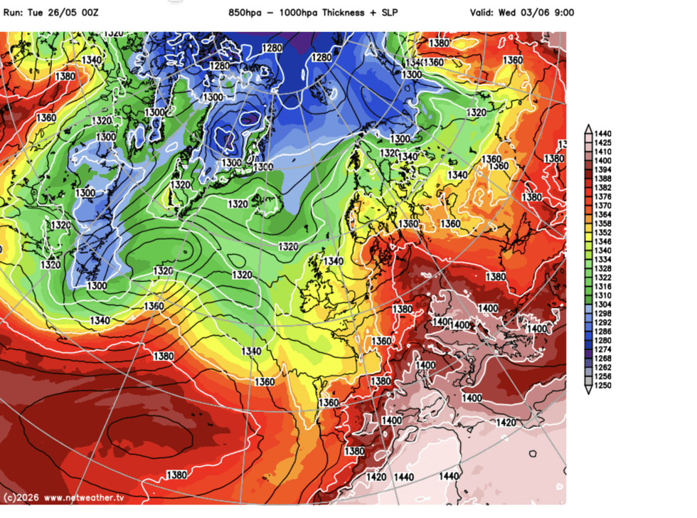
Ground and ocean temperatures will rise dramatically
|NETWEATHER
Mr Dale said: “The oceans are going to start getting warm and this will affect temperatures in the summer.
“We are also in an El-Nino year, and while the main effect of this will be next year, it could have an impact later this summer.
“But, I think we are going to see more of this sort of heat through the season.”
The Met Office predicts hotter-than-average temperatures until the end of July, threatening an increased risk of heatwaves and ‘heat-related impacts’.
Its three-month outlook has a 40-per-cent – double the 20-per-cent norm –chance of a hot summer.
It blames global weather patterns including El Nino and changes in wind patterns in over the North Pole – the Stratospheric Polar Vortex.
A Met Office spokesperson said: “Consistent with our warming climate, the next three months are more likely to be warm than cool.
“An increased chance of warm conditions implies a greater-than-normal chance of heatwaves, similar to that in recent years.
“The warming of the UK climate is consistent with wider global warming trends.”
Meanwhile, sizzling Britain is expected to turn cooler over the next couple of days.
Met Office meteorologist Aidan McGivern said: “Following the truly unprecedented temperatures of the last couple of days, there will be a different feel across the eastern side of England.
“It is another fine day on Thursday, but a brisk breeze is going to make it feel cooler.
“There is a gradual change into the weekend, with temperatures continuing their downward trend towards average into the start of next week.”