


Britain will become a nation divided as oppressive heat clings to the south while battles wind and rain batter the north.
Temperatures will nosedive across Scotland and northern England through the coming days as Atlantic fronts trigger torrential downpours.
But to the south, latest forecasts hint towards the start of July offering more warm, sunny weather.
Stifling temperatures in the mid-30Cs, however, will ease to leave more manageable upper-20C highs.
Met Office meteorologist Honor Criswick said: “Into Friday, high pressure will be the dominant force particularly across the south where it will remain largely settled, but there is a frontal system across the north, so we end up with a north-south split by the end of the week with wet and windy weather drifting in across Scotland and northern Ireland.
“Elsewhere, it is largely dry and settled with temperatures in the mid-20Cs with perhaps some high cloud creating hazy conditions at times but otherwise a largely pleasant end to the week.
“We will start to see that theme continue into Friday with frontal systems still drifting in from the northwest, so there is likely to be some more cloud and some rain and showery outbreaks for the start of the weekend.”
Soaring temperatures through the end of June climaxed in the southeast with the hottest start to Wimbledon on record.
LATEST DEVELOPMENTS:
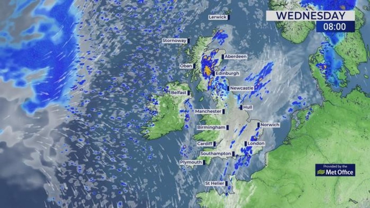
Temperatures today will be much cooler than previous days
|WXCHARTS
Thermometers rocketed into the low-30Cs, although real temperatures on the courts are likely to have been higher.
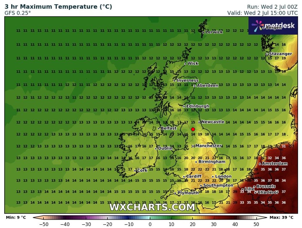
While Scotland and the north cools down from the heatwave, high pressure holding to the south will hold the lofty temperatures.
Criswick said: “It’s definitely feeling fresher across the north but still warm across the south and the south east, but it is not going to feel quite as muggy and quite as uncomfortable.
“After that, high pressure is still dominating, but there is a frontal system on its northern flank, so there will be more cloud and more showers, and we will start to see the cloud fill the skies more and more across northern parts of England.
While Scotland and the north cools down from the heatwave, high pressure holding to the south will hold the lofty temperatures
|WXCHARTS
“The main shower risk is going to be across the far north of Scotland where once again they could be heavy.”
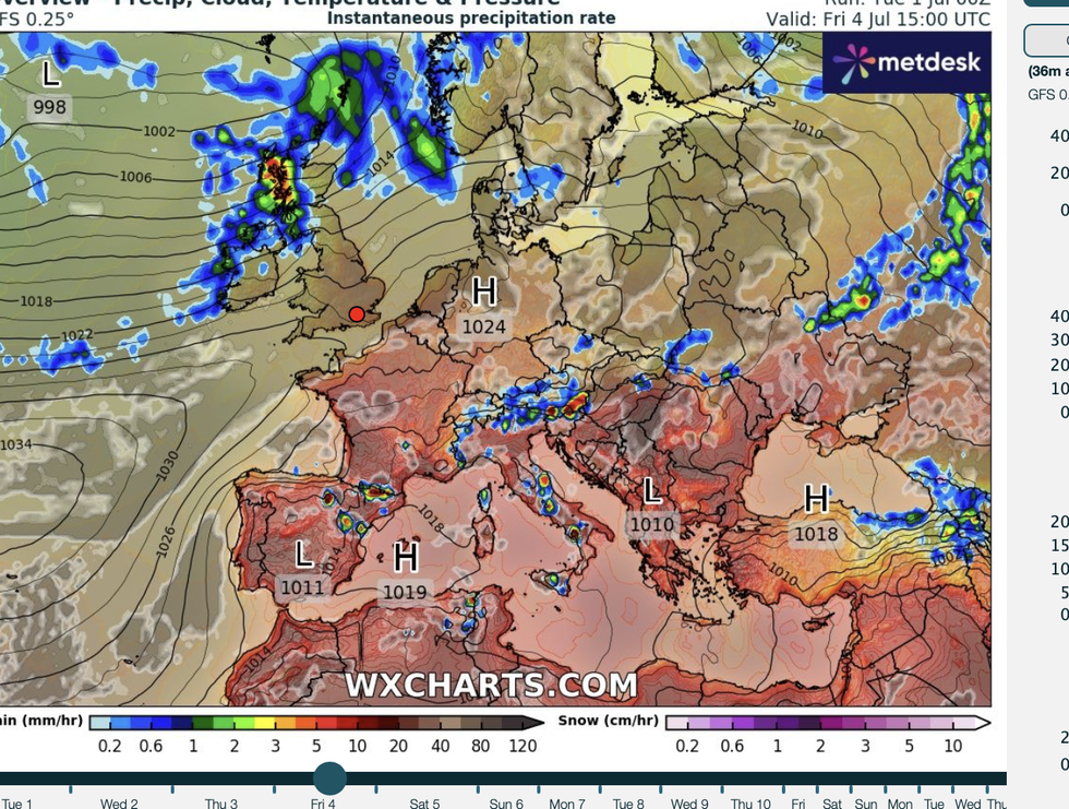
A brief respite from the heat could give way within days to another blast from the furnace, experts warn.
Excruciating heat across Europe will never be far away, with a small nudge in wind direction enough to relight Britain’s heatwave flames.
Jim Dale, meteorologist for British Weather Services and co-author of ‘Surviving Extreme Weather’, said: “Temperatures will lower ahead of the weekend particularly in northern parts of the country, and to the south, it will stay warm but with temperatures closer to average.
“But it is likely hot weather will return through the start of July, and with the heat over Europe, it will not take much for us to catch the edge.
“This is in addition to the growing risk of climate change leaving us vulnerable to hotter weather during the summer months.”
A general break from the heat is expected from Thursday as the risk for showers grows.
Jason Nicholls, lead international forecaster for AccuWeather, said: “Thursday is likely to bring a mix of sunny periods and showers.
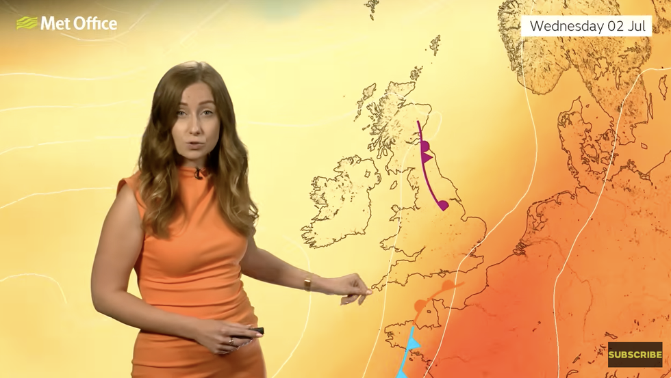
Met Office Honor Criswick describes the north-south split
|MET OFFICE
“The north will be most likely to see showers on Friday.”