


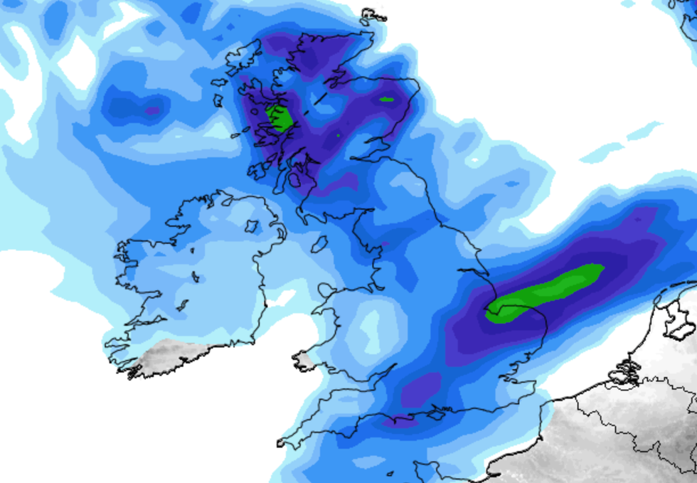
A weather front laden with torrential rain will flush away Britain’s heatwave as mid-week thermometers plunge 15C.
Blazing sunshine will be a memory by the weekend as the 35C heatwave shrinks leaving temperatures widely in the teens and low-20Cs.
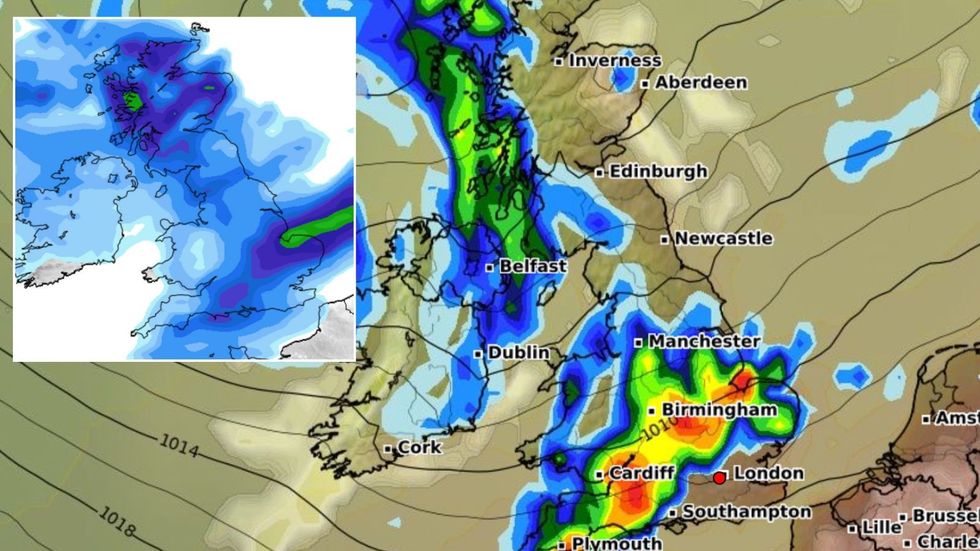
Southern and southeastern Britain will cling to the sunshine until Wednesday when the whole country eventually cools.
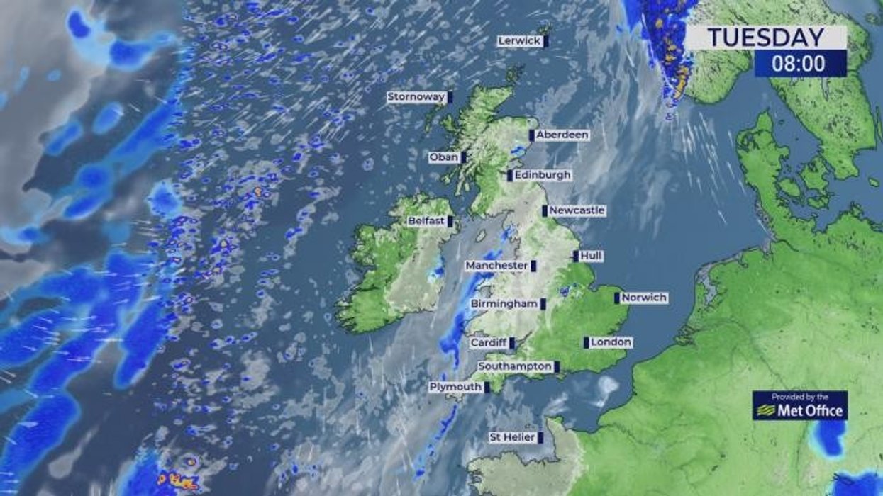
Bouts of heavy rain will drench northern and central regions today while elsewhere roasts in another day with highs in the 30Cs.
A weather front laden with torrential rain will flush away Britain’s heatwave as mid-week thermometers plunge 15C
|WXCHARTS/ Netweather
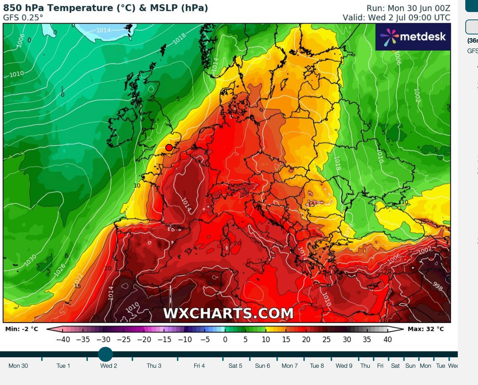
Met Office meteorologist Greg Dewhurst said: “A weather front lingers across southwest England and into Wales, the Midlands, northern England, and southern Scotland, and will give some outbreaks of rain at times through the day.
“There is sunshine to the southeast of this and some strong UV developing, and those temperatures will rise to around 34C or 35C making it another hot day to come at Wimbledon.
“Into the evening, that weather front pushes only slowly a little further south-eastwards, but it eventually introduces that fresher air to all parts, and there will be a mixture of sunny spells and showers through the rest of the week with temperatures largely around the high teens and low-20Cs.”
A UK Heath Security Agency Heat Health Alert remains in force today across southern and Eastern Britain.
Bouts of heavy rain will drench northern and central regions today while elsewhere roasts in another day with highs in the 30Cs
|Netweather
Temperatures could hit 35C in parts of the region while fresher winds elsewhere blow away the heat.
Northern Ireland and Scotland are in for an "unpleasant time" as heavy downpours wash out the sunshine.
Jim Dale, meteorologist for British Weather Services and social commentator, said: “On Thursday, the rain pulls into Northern Ireland and Scotland, and they could be in for an unpleasant time, especially after the hot, settled weather.
“Some of these downpours are likely to be torrential, and there is the potential for thunderstorms.
“Southern regions will stay hot through the start of the week, although it will be cooler to the northwest, but by the end of the week, temperatures everywhere will be back to average as we go into a more usual spell of summer weather.”
Met Office chief meteorologist Matthew Lenhert added: “Tuesday will be another hot day, though the highest temperatures will be more confined to the south east of England where 35C is possible.
“Fresher air will move in from the west through the middle of the week, bringing an end to this heatwave.
“It won’t be hot everywhere, with a marked difference in northwestern parts of the UK with cloud and some heavy rain affecting Northern Ireland and western parts of Scotland.”
Southern and southeastern Britain will cling to the sunshine until Wednesday when the whole country eventually cools
|WXCHARTS
Northern Britain will be most at risk of rain into the weekend while the south is settled, dry and bright.
AccuWeather lead international forecaster Jason Nicholls said: “Thursday will bring a mixture of sunny periods and showers, and on Friday, it is the north that will have the best chance of showers.
“The south should stay dry and bright.”