


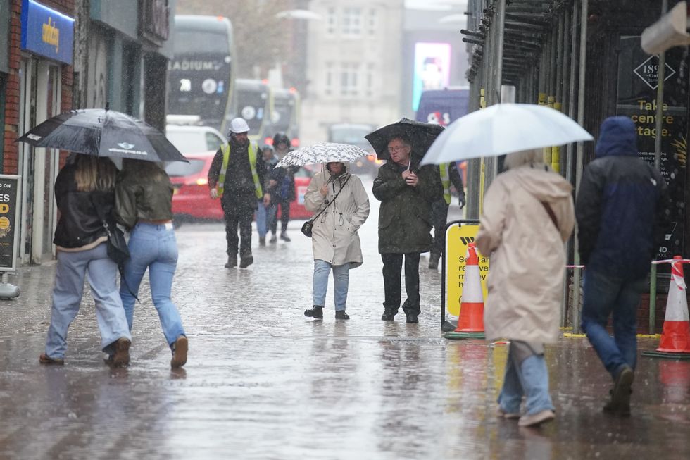
The Met Office has issued a triple yellow weather warning for rain as Britons brace for heavy downpours this weekend.
The forecaster said more than 100mm of rain could fall in some parts of the country as it warned of possible flooding and travel disruption.
Two yellow warnings will come into force on Saturday afternoon, affecting the North East, North West and Yorkshire and Humber
The warning will remain in place between 3pm on Saturday and 6pm on Sunday.
A separate warning will cover the Scottish Borders from midday on Saturday to 6pm on Sunday.
Wales also faced a yellow weather warning on Sunday.
The warning, which comes in at midnight and will last until 11.59pm, covers Ceredigion, Conwy, Denbighshire, Gwynedd and Powys.
Torrential rain will likely make journey times longer, the Met Office said.
LATEST WEATHER NEWS
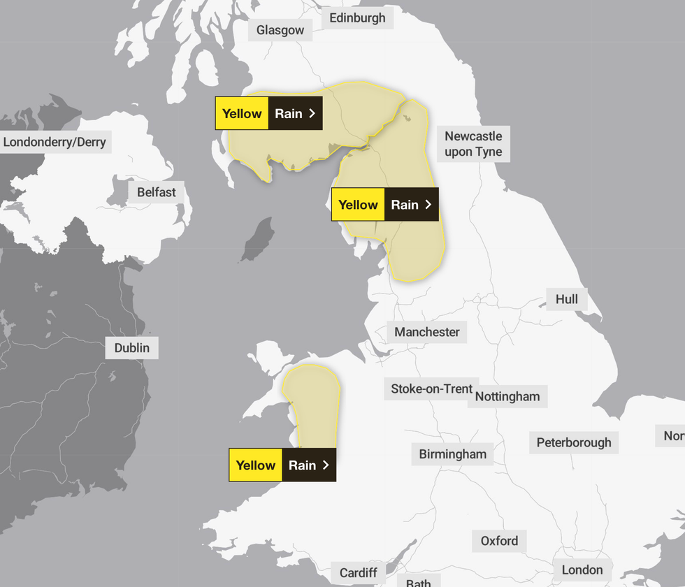
Three weather warnings for rain have been issued across the country this weekend
|MET OFFICE
There is also a small chance of some communities being cut off by flooded roads.
Other adverse consequences include interruption to power supplies and flooding of a few homes and businesses.
England's Environment Agency has already issued 76 flood alerts and warnings ahead of this weekend's downpours.
Meanwhile, an additional nine warnings and alert have been issued by Natural Resources Wales.
Some areas could see more than 100mm of rain fall
| PADespite the weather warnings being concentrated in the west, the Met Office's broader forecast suggests downpours could rock much of the country.
Looking ahead to Friday, the Met Office said: "Rain will gradually clear from the west across England and Wales, though remaining damp in the southeast.
"Otherwise plenty of sunshine, with scattered blustery showers in the northwest. Feeling fresher."
Meanwhile, in its weekend forecast, the UK's national weather service added: "After a chilly start on Saturday increasingly wet and windy weather will sweep across all parts from the west.
"Further rain and strong winds thereafter. Probably wettest in the west."
Britain’s unsettled outlook is being driven by an unusually fierce jet stream sucking power from an Arctic plunge hitting America.
As cold air to the north meets warm air to the south, jet stream winds are speeding up on their entry into the Atlantic.
These winds are forecast to pick up bunches of storms like a conveyor belt before flinging them at Britain.
Jim Dale, meteorologist for British Weather Services and co-author of ‘Surviving Extreme Weather’, said: “The jet stream coming out of America is particularly strong because of the cold weather hitting the US and Canada.
“I see no change in this for the next week, with more wet weather on the way, and it is the rain which is going to be the problem.
“Western parts of the UK are already saturated with rivers and water tables at breaking point, so we could be looking at a serious flooding issue in the run up to Christmas.”
Wet and windy weather will also send temperatures upwards, with highs in the south hovering in double figures.