


A huge storm powered by a 'diving jet stream' will plunge Britain into a five-day 30C thunderous deluge.
Simmering 'plumes' of humidity from France and Spain will sweep in this weekend triggering a monsoon eruption.
A swerving jet stream whipping up a giant Atlantic storm will fuel torrential rainfall, lightning strikes, hail and thunder.
Sporadic and volatile tropical downpours will set in today and hold out into the start of next week.
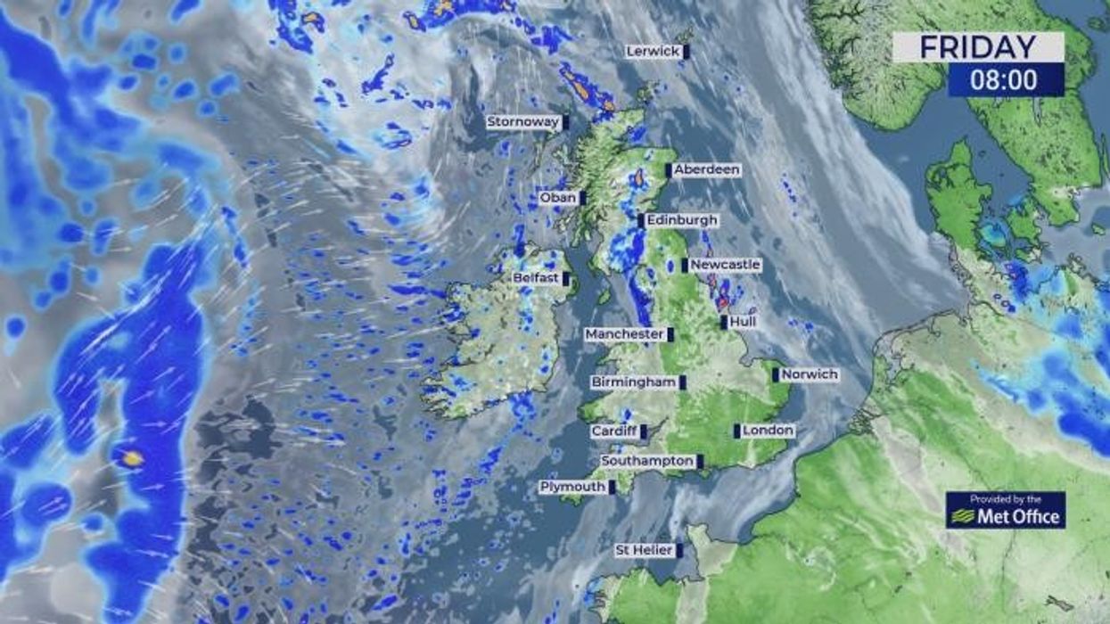
Thunderstorms are set to hit the country
|MET OFFICE/PA
Met Office meteorologist Alex Deakin said: "As the jet stream dives southwards, it is going to scoop up some warmth and humidity across the near Continent, pushing up heat and humidity from Spain and France into the UK.
"Friday night and into Saturday, the first bout of heavy potentially thundery rain will drift northwards, and temperatures overnight in the London area may stay above 20C.
"During Saturday, further plumes of heavy downpours drift northwards, with the air coming up from the south and heavy thundery showers coming up from the south.
"We are confident that there will be heavy, thundery showers across parts of the UK this weekend and into the early part of next week."
LATEST DEVELOPMENTS
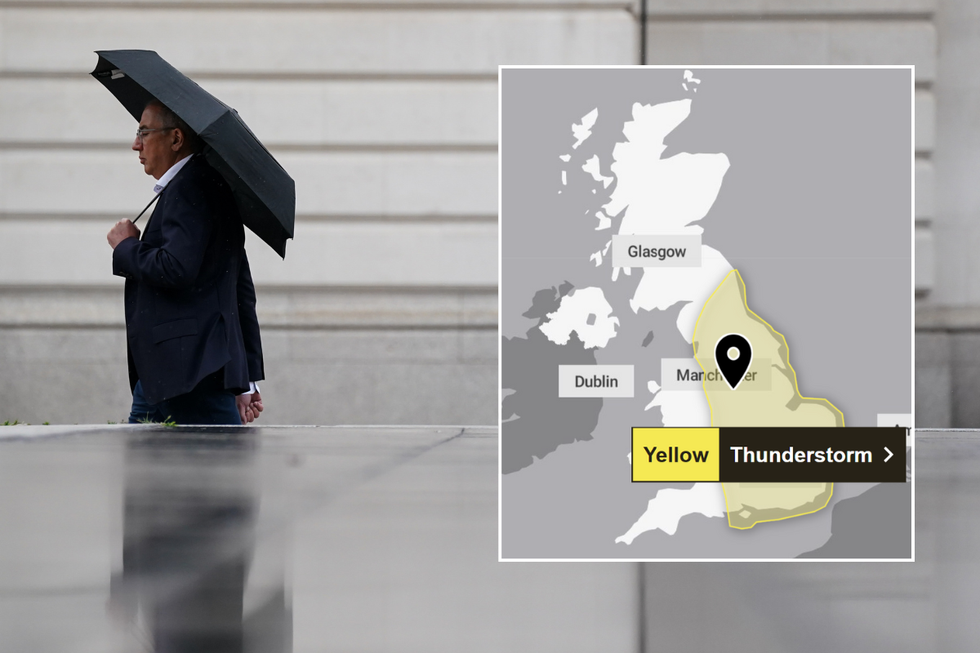
Torrential downpours are set to hit the UK
|PA
A low-pressure storm in the Atlantic will spin closer to Britain through the next 48 hours offloading torrents of rain. It will approach anchored to a plume of tropical air from the Continent as temperatures rocket to 30C.
Deakin said: "The highest temperatures on Friday across the southeast will be up to 30C, with cooler fresher conditions to the north and the west and the potential for some pretty heavy downpours and thunderstorms across Northern Ireland.
"We are pretty confident that this low pressure is going to develop somewhere to the southwest and pump up warm and humid air, so there is a high chance of some heavy downpours during Saturday.
"The jet stream has slipped further south and is currently straddling the UK, but out in the Atlantic the jet is taking a bigger dive and spinning an area of low pressure, and this area of low pressure will dominate our weather especially into the weekend."
Hot, humid and stormy weather threatens to hold through the start of next week before temperatures dip. Unlike last week, the next hot spell will be dominated by unsettled low pressure with high pressure blocked to the west.
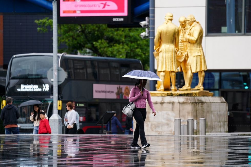
Heavy downpours threaten floods in parts of the country where weeks of dry weather have left the ground parched.
Meteorologist for British Weather Services and co-author of ‘Surviving Extreme Weather’ Jim Dale said: "The next threat is going to be from very heavy downpours with a lot of rain falling in a short time, and this will bring the risk of flooding through the next few days.
“While this will bring some relief to gardeners and farmers, there will be a risk of disruption.
"Low pressure from the Atlantic is going to be driving the weather, and there is no immediate sign of a return to the sort of high-pressure regime that we saw during the last heatwave."