


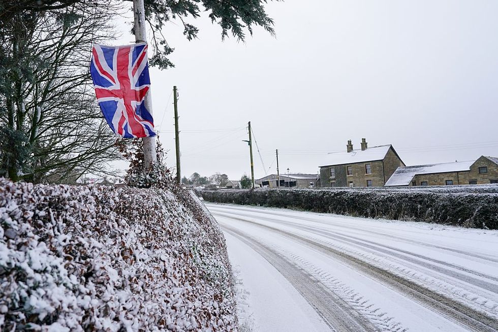
Arctic weather fronts trailing into Britain from Greenland could extend "severe cold" temperatures into mid-January.
Flip-flopping weather models have been thrown into confusion as northerly winds battle westerly storms. Gusts that have pushed the mercury in parts of Britain close to -10C should ease around Tuesday.
But experts say extreme cold weather could quickly surge back, keeping the UK locked in the freezer beyond the middle of the month.
Met Office meteorologist Alex Burkill said: “European and American weather models show something quite different because while the European model is quite bullish with bringing the cold air back, and we could get some severe cold weather, the American model expects something more mobile and milder to push through.
TRENDING
Stories
Videos
Your Say
“Confidence drops after the weekend, but the northerly wind will continue, but then there are signs that we could see something coming in from the west. Then we could see something coming in in terms of milder air, but also rain and some snow on the leading edge. We could see something turning a bit milder, but during the middle part of next week there is fairly low confidence.”
Britain’s weather is at the mercy of high and low pressure systems straddling from the west and east, funnelling winds in from the Arctic. As these weather systems bounce around British shores, the risk switches from bitterly cold and dry to unsettled with further snow.
The Met Office said snow and ice remain in force until mid-week. Meteorologist Greg Dewhurst said: “Into Monday morning, we will see clear skies and widely temperatures below freezing with icy stretches. Sleet and snow showers are possible across the east and the west and also Scotland, and temperatures will be around 2C or 3C at best, so it is remaining very cold.
“It looks as though the Atlantic tries to move in as we head towards Tuesday and Wednesday, and any weather systems that come in will bump into that cold air.”
The Met Office issued yellow-tier snow and ice warnings across parts of England and Wales, although the most severe alerts were for parts of Scotland
|GETTY
Met Office weather models show a tangle of weather fronts sweeping in from a low-pressure cyclonic system off the tip of Greenland. As these move in off the Atlantic, laden with moisture, snow will continue to fall in their path.
Long-range forecasts predict largely cold and wintry weather through the rest of the month. Although temperatures will ease from the current Arctic lows, they will hover at or slightly below average.
Jim Dale, meteorologist for British Weather Services and co-author of Surviving Extreme Weather, said: “The cold air will stay in situ over the country, and there is a battle between high and low pressure coming back in, which will bring a further risk of snow. This cold air is going to take some shifting, and there is no real sign of anything much milder until the jet stream shifts to bring in something from the Atlantic.”
Mr Burkill added: “Through the next few days in London, while temperatures are dropping quite markedly through the first few days of 2026, after that it is quite uncertain as we go through the middle of the week.
Our Standards: The GB News Editorial Charter