


A ‘kinky’ weather front straddling raging jet-stream winds threatens an ‘intense’ pre-Christmas deluge.
Festive shoppers face disruption and ‘dangerous’ road conditions this weekend as relentless downpours sweep Britain.
A tangle of tentacled weather fronts dragging the country will spare no inch as so-far spared southeastern regions move into the crosshairs.
Unsettled weather will be driven by strong winds through the next 48 hours as the stormy blast unleashes its last assault.
Met Office meteorologist Annie Shuttleworth said: “Just before a weather front clears the east of the UK, we start to see a wave developing on it, and it starts kinking with a warm front developing.
"Low pressure is nearby on Friday, and it will be relatively unsettled with a lot of rain to come, and we have a fairly mobile jet stream into the weekend.
“On Saturday, the next weather front comes through and although it is a narrow band, it could bring an intense period of heavy rain.
“This may be the final nail in the coffin for all the rain, and a lot of people are going to be on the roads, so it is worth being aware that there will be delays to trains and dangerous driving conditions.”
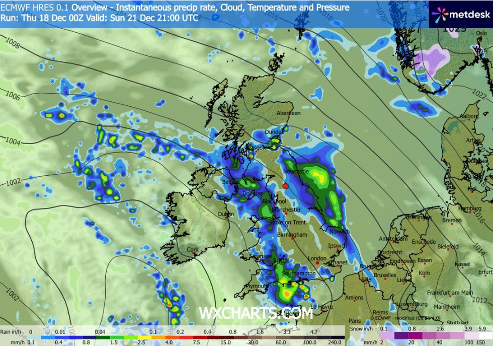
Stormy weather will bash Britain this weekend
|WXCHARTS
Western and northern regions already soaked after the wet start to December will continue to bear the brunt, she warned.
She said: “Similar areas that have seen rain so far this month will see the rain at the end of this week and into the weekend.”
Met Office meteorologist Clare Nasir added: “Rain turns heavier across central and southern England and East Anglia, and on Thursday, it returns to Wales and the West Country.
“A strong wind will be associated with the rain, and then on Friday, it is a chilly day and wind will be strong across northern areas, and at the weekend, another band of rain moves in.”
LATEST DEVELOPMENTS
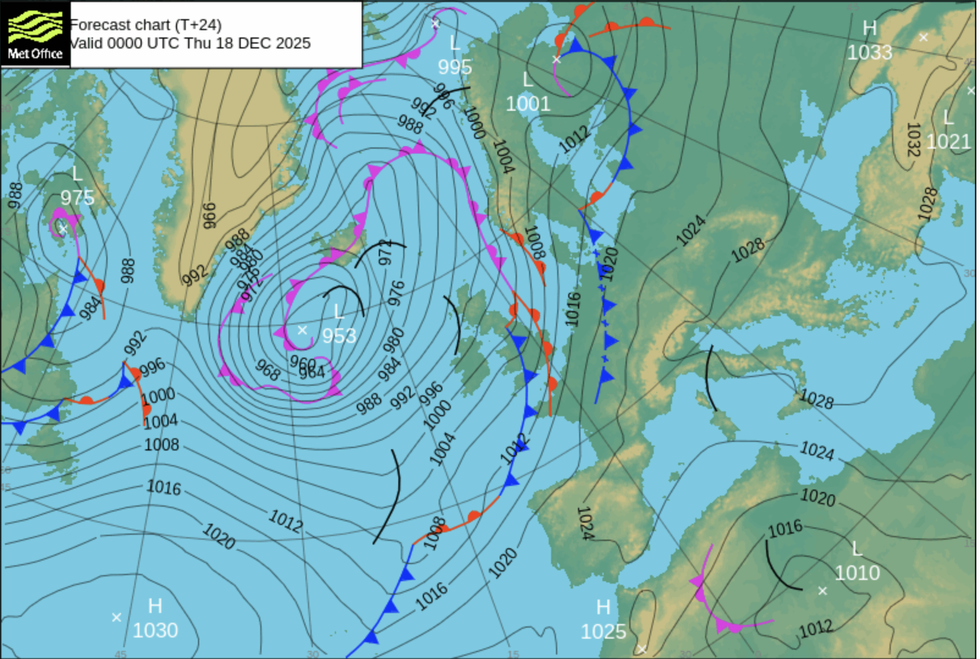
Bombarding weather fronts will whip up powerful coastal gales sparking warnings for disruption
|MET OFFICE
Swathes of Britain are braced today for another ‘tranche’ of rain this weekend before a change to drier weather.
Bombarding weather fronts will whip up powerful coastal gales sparking warnings for disruption.
Jim Dale, meteorologist for British Weather Services and co-author of ‘Surviving Extreme Weather’, said: “The next system comes through ahead of the weekend, and this brings another tranche of rain which, in parts of the country, will be heavy and disruptive.
“The winds will start to pick up around coastal and exposed regions, although eastern regions will get off lightly compared to the west.
“We are looking at another few days of unsettled weather before a change to more settled conditions in the week running up to Christmas.”
Met Office warnings for rain are in force across southern regions today where up to three inches is expected.
A Met Office spokesperson said: “Heavy rain will affect southern counties of England during Thursday, and this might some disruption to travel and the possibility of some flooding.
“Strong winds, perhaps with gusts higher than 50mph in some exposed coastal areas will accompany the rain, perhaps exacerbating the impacts in a few places.”