


An Arctic U-turn is about to plunge temperatures although festive snow will likely flop in favour of a "pseudo–White Christmas".
Wind and rain will grind to a halt in the run up to the Big Day as a dome of high-pressure launches a battering ram against the Atlantic.
Cold gusts from the north will see temperatures plummet below freezing next week raising hopes of a festive flurry.
But experts warn that while a White Christmas is possible, a sugary sheen will come from widespread frosts rather than snow.
Jim Dale, meteorologist for British Weather Services, said: “The worm is about to turn with much colder temperatures forecast in the second half of December bringing a real change from what we have seen so far.
“When it comes to a White Christmas, this is still unlikely, although it would not be out of the question to see a flake here and there to the east of the country.
“However, freezing mornings will mean people are more likely to wake to frost rather than snow, making this year more likely to see a ‘pseudo–White Christmas’ rather than a proper White Christmas.”
High pressure will turn off the taps on Britain’s relentless deluge around the middle of next week.
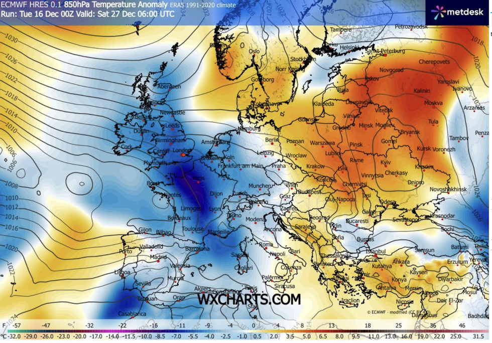
Cold gusts from the north will see temperatures plummet below freezing next week
|WXH
A barrage of stormy low-pressure systems from the Atlantic will finally run out of steam after the weekend.
Then, with high pressure to the north, temperatures will nosedive with widespread lows of near or just below freezing.
Met Office meteorologist Aidan McGivern said: “There is more rain to come in the next few days, but there are signs of a significant change on the way for the week of Christmas.
“Signs are now pointing to high pressure over the UK around December 22 when we expect clear skies and fog and frost patches, and with higher pressure to the north of the UK, there will be fewer low-pressure systems.
LATEST DEVELOPMENTS
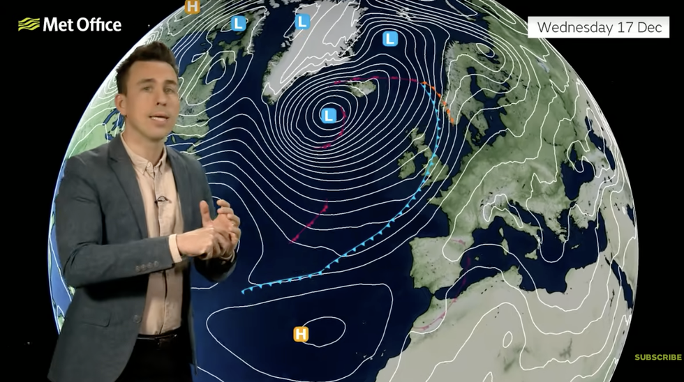
Aidan McGivern warns of more stormy weather in the meantime
|MET OFFICE
“For Christmas Day, it looks like it’s going to be drier and perhaps a little bit colder compared to the first part of December.
“And even if it’s not going to be a White Christmas, a Christmas with frost and less rain may be more welcome.”
In the meantime, though, drenched Britons will have to take cover for further heavy downpours, wind and thunder, he warned.
Southeastern regions may dodge the deluge, he added, although clear skies will bring foggy mornings.
He said: “Into Wednesday, the next weather system is starting to move in and it is another wet and windy day while in the southeast, there will be some dense fog in places.
“On Thursday, more wet weather moves back in with heavy rain returning to the south and southwest with heavy downpours and thunder in places with gusty winds.
“Then another system arrives for the start of the weekend, but the strong winds will push the rain through, so it won’t last as long.”
As the next cold snap approaches, bookmakers have once again taken the axe to White Christmas odds.
Coral’s John Hill said: “"Our odds suggest there is a 67-per cent chance of the UK having a White Christmas, so those dreaming of seeing snow on Christmas Day may just get their wish.”
Ladbrokes’ Nicola McGeady added: “The White Christmas dream is still very much alive if the latest odds are anything to go by.”