


An Arctic resurgence in the run-up to the festive season is about to put Christmas snow back in the game.
Wind, rain and oddly mild temperatures through early December are tipped to give way to a late-month cold snap.
Low pressure, the driver of recent unsettled weather culminating in Storm Bram, will succumb to high pressure, experts say.
If it settles north of the UK, it will drag in a Polar chill, pushing mid-teen temperatures back into the freeze zone.
TRENDING
Stories
Videos
Your Say
Met Office meteorologist Annie Shuttleworth said: “There is potentially going to be a change in the mild, wet and windy pattern, and from the end of next week, we start to see a downward trend in the temperatures and a higher likelihood of seeing higher pressure.
“If the high pressure becomes more northerly shifted, that could bring more northerly wind, and that would bring much colder settled weather in the run up to Christmas.
“So, after the very soggy start to December, don’t give up all hope of a frosty Christmas, but there is still a lot to play for.”
It will follow another 10 days of wet and windy weather as cyclonic lows barrel in from the Atlantic.

Temperatures across Britain could sink once again
|WX CHARTS
Swathes of the country drenched after Storm Bram face no respite in the rain, with significant flooding a growing risk.
The driver is a powerful jet stream fuelled by a cold plunge over Canada and the US, Shuttleworth explained.
She said: “We have a very active jet stream that has driven the wet weather over the past week, and it will remain active.
“Continuous outbreaks of cold air over eastern Canada and northeastern America are fuelling the jet stream, creating a breeding ground for areas of low pressure across the far west of the Atlantic.
LATEST DEVELOPMENTS:
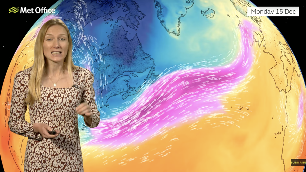
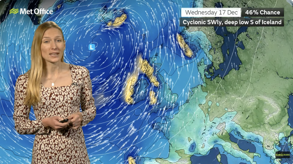
Annie Shuttleworth describes the jet stream steaming out of America
|MET OFFICE
“They are moving towards the UK driving and bumping into higher pressure over Europe, meaning our weather systems moving in from the southwest, and that is why we are seeing so much rain across southwestern areas.”
South-westerly winds will push temperatures this weekend into double figures although they will arrive laden with more rain.
Sunday morning could follow the warmest overnight temperature of the week, the Met Office said.
Further wind and rain will follow as the unsettled December theme surges towards mid-month.
Annie Shuttleworth describes the jet stream steaming out of America
|MET OFFICE
A change to something much colder, though, is something meteorologists across the board are starting to signal.
Jim Dale, meteorologist for British Weather Services and co-author of ‘Surviving Extreme Weather’, said: “From the last week of the month, or just before, we are looking at the threat of a return to colder conditions and wintry precipitation, particularly over high ground.
“The chances of a White Christmas are starting to rise, although this comes with the caveat that it is still a couple of weeks away and lots of things would have to come together for this to happen.
“But, after another mild and unsettled week, there are signs of something more wintry on the way for Christmas.”
Our Standards: The GB News Editorial Charter