


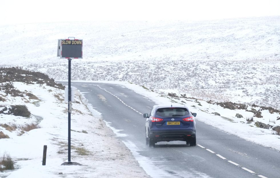
Polar gales thrusting temperatures below freezing are set to hit Britain with the season’s first period of "significant snow".
An ensuing battle between northerly and westerly winds will come to a chilling head this weekend, forecasters have warned.
Scotland and northern England are getting ready for the mercury to nosedive as soon as Thursday.
The rest of the country is dusting off winter coasts for an early but brutal bite of winter approaching the middle of the month.
TRENDING
Stories
Videos
Your Say
Jim Dale, a meteorologist for British Weather Services, said: “While the exact timings of this cold spell are going to be difficult to pin down.
"Scotland could be looking at the first significant snow over the mountains by Thursday.
“This is going to be the proper stuff and will hang around as Polar air arrives across the region, and in parts we are talking about temperatures in minus double figures.
“The rest of the country is not quite there yet, but by next week, we are likely to see much colder conditions across the whole of the UK.”
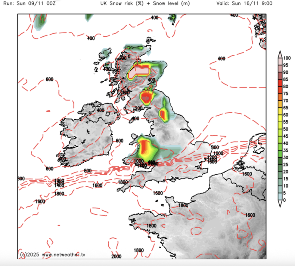
An ensuing battle between northerly and westerly winds will come to a chilling head
|NETWEATHER
Balmy temperatures in the high teens over the past week have been driven by southerly winds from the Continent.
A major shift in weather patterns will pull in northerly and northeasterly winds, which at this time of year often trigger extreme cold.
Rain-laden systems of low pressure rolling in the west will collide with the cold to bring a widespread risk of wintry showers.
While no major whiteout is predicted, government forecasters have started to moot the risk of sleet and snow.
LATEST DEVELOPMENTS
While no major whiteout is predicted, forecasters have started to moot the risk of sleet and snow
| PAThe Met Office’s Alex Burkill said: “By next week, it looks like temperatures away from coastal areas will be a bit chillier.
“High pressure towards the north of the UK would bring some settled weather to the north, but we could still see areas of low pressure tracking to the south, and this would allow for a northeasterly or an easterly air to push in.
“This would bring something a little bit chillier as we go deeper into November, and if we see areas of low pressure coming in as well, and they meet, that could bring something wintry, some sleet and snow.”
Weather models are struggling to agree on timings and severity of the cold weather, Burkill said.
He added: “There is no guarantee, and the Met Office model has the high pressure more across the UK, and the temperature anomaly would not drop as much.”
In the meantime, most Britons will enjoy another mild week, although it will turn wetter and windier.
Burkill said: “We are going to see a changeable set up with various areas of low pressure nearby, and there will be quite a bit of rain around.
“Because our air is coming from the southwest, it is going to stay pretty mild, particularly by night, and we expect to see some pretty mild nights, and on Tuesday we could see some very wet weather and some heavy rain.”
The first hints of cold and wintery showers have prompted bookies to shake their snow globes over the odds of a White Christmas.
Coral is now offering 1/2 from 5/4 on a festive flurry with Glasgow and Edinburgh the main players.
Spokesman John Hill said: “With fewer than 50 days to go until Christmas Day, punters have been rushing in to back a White Christmas this year.
“We now make it odds-on for snow to fall on any major UK city on Christmas Day, with Edinburgh and Glasgow the two most likely to see snow.”
Our Standards: The GB News Editorial Charter