


Sultry tropical heat could hold out into Autumn with predictions for a fortnight or more of near-30C temperatures.
Britain’s fourth heatwave will ease briefly before incendiary ingredients recombine to fire up the next one.
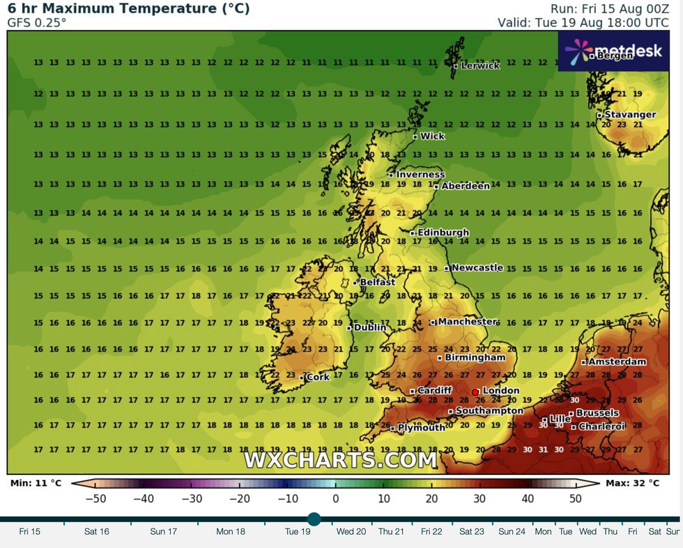
Temperatures this weekend, particularly across southern and western regions, are tipped to rocket back into the 30Cs.
**ARE YOU READING THIS ON OUR APP? DOWNLOAD NOW FOR THE BEST GB NEWS EXPERIENCE**
 Britain’s fourth heatwave will ease briefly before incendiary ingredients recombine to fire up the next one | WXCHARTS
Met Office Meteorologist Honor Criswick said: “By the time we get to the weekend, high pressure is largely dominating the weather, and that means that we are dragging in that south to southeasterly flow which means some quite warm temperatures particularly across the southwest.
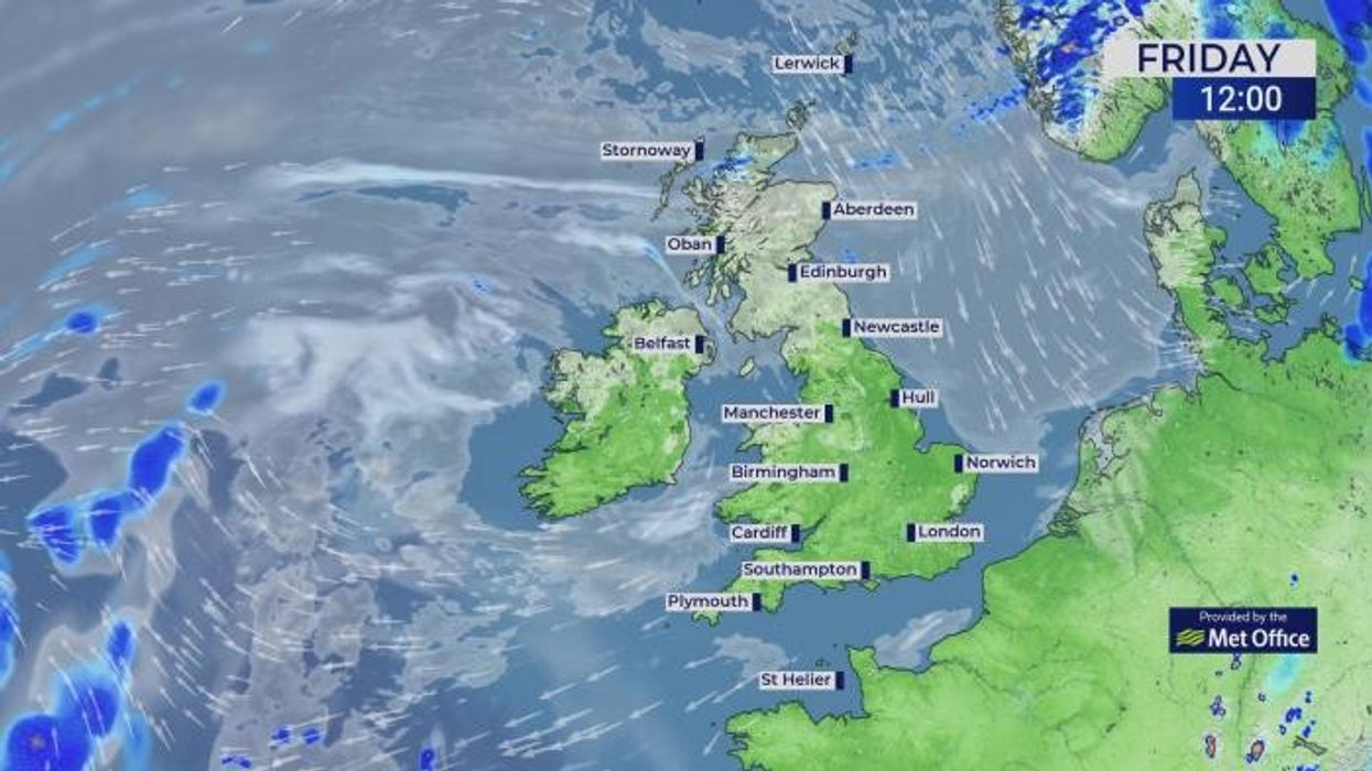
“Temperatures are starting to increase once more on Friday, with highs reaching 31C in London and widely reaching into the mid- to high-20C elsewhere, but a little cooler in Scotland and Northern Ireland.
“This weekend, the sunniest and the warmest of the weather most of the time will be in the west, and it will be a little cloudier in the north and the east.”
Hot weather will hold out into next week, although tropical humidity will trigger thunderstorms, she warned.
The warm temperatures are in part being driven by the remains of Tropical Storm Dexter as it sweeps in from the Atlantic, she added.
She said: “Ex-Tropical Storm Dexter generally stayed out to the west and is one of the reason that we have seen our heat increase as it brought in that southerly flow and brought in that heat from the Continent.
“Into Saturday and into Sunday, we are still dragging in that heat from the south, and with that warm humid air that does lead us to the risk of some thundery showers.
“For the time being, hot temperatures and possibly some thundery showers is definitely the name of the game.”
Long-range outlooks suggest hot weather lasting into September and beyond with a persistent threat of heatwaves.
The Met Office’s three-month "contingency planner", aimed at authorities planning around the weather, predicts an almost double-normal chance of warm weather into October.
It suggests a mere 10-per-cent chance of cool weather with a slightly increased risk of wind and rain.
The report states: “Consistent with our warming climate, there is an increase in the likelihood of warm conditions, particularly early in the period, when the chance of heatwaves is higher than normal.
“While the outlook does not guarantee a heatwave, it does indicate that the likelihood of hot conditions is higher than normal.”
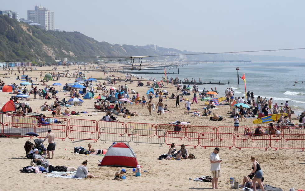 People enjoying the sunny weather on Bournemouth Beach in Dorset | PA
A repeating pattern of blazing heat followed by eruptive thunderstorms shows no signs of ending with summer.
Rocketing thermometers this weekend could push Britain into the fifth heatwave of the season, experts warn.
Jim Dale, meteorologist for British Weather Services and co-author of ‘Surviving Extreme Weather’, said: “The rest of August and possibly longer shows this same trend with periods of extreme heat with the risk of thunder.
“This weekend, temperatures will rise, but there will be the threat of stormy outbreaks as a plume of hot, humid air comes up from the south.
“This will bring torrential downpours and the risk of localised flooding.”
Jason Nicolls, lead international forecaster for AccuWeather, said: “The south will be largely dry and bright through the weekend and into next week.
“In the north, however, there will be the risk of showers each day.”