


A heatwave is due to hit the UK in August, ending the current wet and windy summer.
The summer so far has seen heavy rainfall across the UK in July, but this will soon come to an end when temperatures as high as 32C are expected.
The heatwave, predicted by GFS weather forecasts, has turned weather maps red, indicating high temperatures.
The first stretch of August will see similar conditions as to what we are currently facing, before the heatwave strikes in the middle of the month and Brits can ditch the umbrellas.
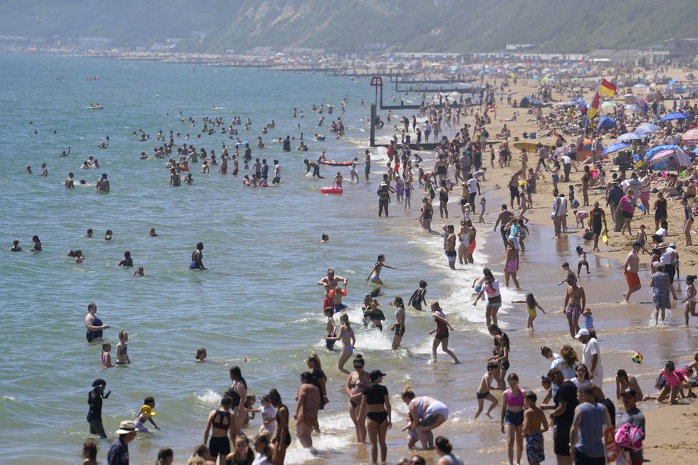
The warm weather will begin mid-August
|PA
Jim Dale, senior meteorologist for British Weather services, said the UK will finally receive its share of summer weather thanks to an Azores high pressure system.
An Azores high is a semi-permanent area of high pressure which typically rests over the Atlantic Ocean.
During summer, the Azores high moves towards Bermuda, which allows warm air to push north and gives the UK warmer temperatures.
"An Azores high is migrating towards and across us and it all starts this time next week if all goes as currently seen," said Dale.
He added: “There should be a south to north progress with 32C in southeast England by August 12, in my opinion, though, it's still a forecast for now."
"The gradual change is simply down to a change in airstream; cool northerlies at times this week.
"Warm/hot southerlies later next week as the high pressure tracks across us and then out to the east."
The Met Office have warned however that there remains a risk of thunderstorms during the first half of the month.
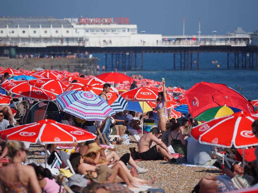
The incoming heatwave is caused by an Azores high
|PA
Its long-range forecast (August 4 to 13) reads: “Sunshine and showers are likely for many at the start of this period, locally heavy and thundery, with northwesterly or northerly winds bringing cool temperatures for the time of year.
"Showers may temporarily ease slightly, however there is some risk that this could give way to further wet and windy weather arriving from the west over the weekend.
"Beyond this, changeable conditions are likely to dominate through the rest of this period. Showery conditions are likely, along with the risk of longer spells of rain and stronger winds at times too.
"Some drier and brighter interludes are also possible, these perhaps more likely later in this period. Often breezy, especially earlier in the period. Temperatures are likely to be mostly below average."