


Britain will become a pressure battleground as tussling weather systems drag a chill wind off the North Sea.
Scorching heat has become a distant memory with temperatures this week dipping below average for the start of May.
High pressure, which drove the mini-heatwave last week, will lock horns with low pressure laden with northerly winds.
While the weather will stay dry through the last stretch of spring, Britons are warned to expect something cooler.
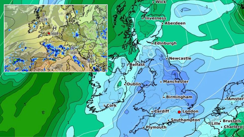
Britain will become a pressure battleground as tussling weather systems drag a chill wind off the North Sea
|WXCHARTS
Met Office meteorologist Alex Deakin said: “The pressure will generally remain high through the next week or so but the temperatures, not so much.
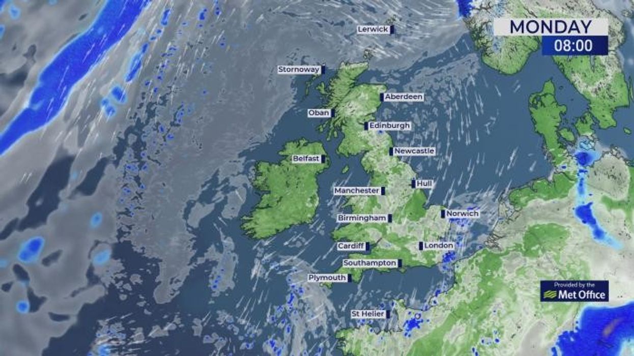
“There is an increasing chance of more showers on Monday, across parts of the east with western areas probably favoured for the sunshine, but those temperatures much closer to average and even a touch below with those winds coming in off the North Sea.
“Some of the models show that low pressure is closer bringing a northerly flow and that would bring quite a cold day on Thursday, so it is going to be a question of where the high and the low sits.”
Britain’s weather for the past fortnight has been dominated by a dome of high pressure driving clear skies and rising temperatures.
The mercury last week smashed records for the time of year hitting almost 30C in parts of the country.
With high temperatures, high pressure brings cloudless, dry skies, meaning rain this week will be largely off the cards.
Though much lower than the end of April, temperatures will head through the mid-teens or higher in the sun.
Deakin said: “As we get to Tuesday and Wednesday, the chance of getting over 15C begins to increase across the south, and there is a suggestion that temperatures will be on the rise.
“So, it is getting cooler over the weekend, but there is a chance that temperatures will start to tick up as we go through next week.”
Southern regions will stay largely dry while Scotland and northern England face the risk of showers.
Jim Dale, meteorologist for British Weather Services and social commentator, said: “After the heat, we are going back to something cooler and possibly wearing a jumper rather than a T-shirt.
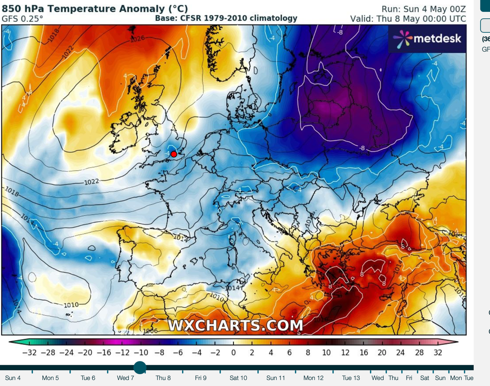
Scorching heat has become a distant memory with temperatures this week dipping below average for the start of May
|WXCHARTS
“Mornings could be chilly again, and rather than the very hot weather, we are going to return to a more conventional spring outlook.
“Then, later in the week, and as we go through the last month of spring, there is a chance that the warmer weather could return, but this depends on the position of high pressure and where the air comes from.”
The outlook for the start of summer is hopeful if any clues can be gleaned from last month.
Britain has enjoyed the sunniest April on record with 47 per cent more sunshine hours compared to the average.
Temperatures have been 1.7C above normal for the time of year with an average of 228.9 hours of rays, according to the Met Office.
Met Office meteorologist Aidan McGivern said: “High pressure sat over the UK for the first two weeks of April as well as the last week, with low pressure bringing some unsettled weather in the middle.
“The last week of April has closed out with temperatures well above the seasonal average, with station records for temperatures and sunshine broken.”