


A double-burner nationwide heatwave will peak this weekend as a duo of hot-weather drivers collide in a near-35C fire blast.
Britain will reach boiling point over the coming days as freakish meteorological phenomena collide to push near-record temperatures.
A high-pressure lid will wedge over the UK like a pressure cooker before the mercury soars even further this weekend in a tropical plume from the Continent.
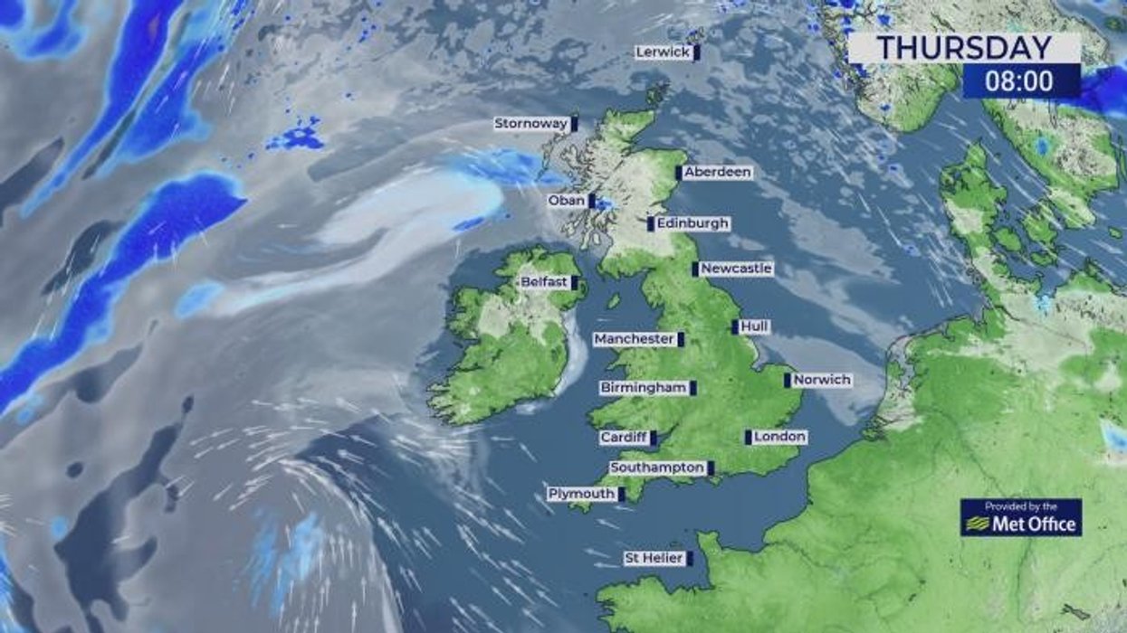
Much of Britain will hit heatwave conditions by Sunday triggering a raft of Government health alerts.

Much of Britain will hit heatwave conditions by Sunday triggering a raft of Government health alerts
|PA
Met Office meteorologist Alex Burkill said: “There is a heatwave building with temperatures rising into the low- and possibly even the mid-30Cs by the time we get to the weekend.
“The jet stream is running just to the north of us, and the big talking point is the high pressure that is building over us, and we have lots of settled weather to come over the next week.
“High pressure is firmly in control and with that we are going to see a lot of dry and sunny weather, but it is the temperatures that we are interested in this week.”
High pressure drive hot weather over the coming days before a shift in weather patterns draws a lick of Continental heatwave to Britain.
LATEST DEVELOPMENTS:
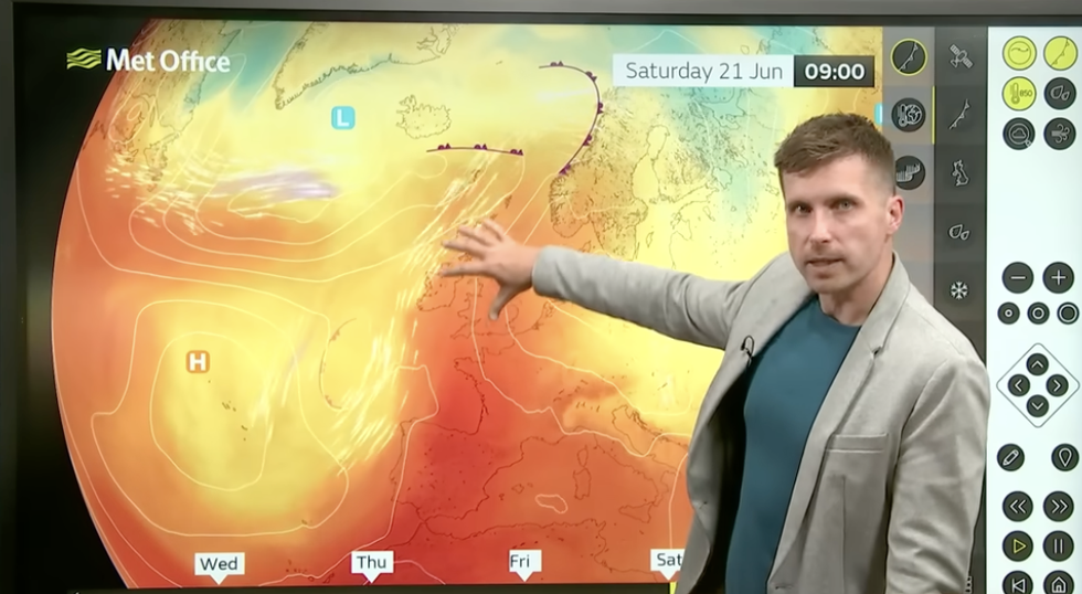
Met Office’s Alex Burkill describes hot air coming into the UK
|MET OFFICE
Weather models are yet unsure exactly where the fiercest heat will hit, although all but the very north will feel hot.
Temperatures through the end of the week will nudge the high-20Cs before lifting into the 30Cs, Burkill warned.
He said: “There is some pretty hot air across Spain and that is going to feed into France, and as the high pressure drifts to the east this weekend, that’s when we will start to see the influence of that very hot air to the south of us, and that is when it will start to push in that plume of warmer humid air across the UK, but it is not until Saturday or Sunday that we are likely to feel the influence of that.
“By Sunday, we are looking at 33C, and that is not that far away from the June record which is only 35.6C.
“We are going with a 15-per cent chance that we will exceed that June record on Sunday, but a few things need to line up in order for that to happen.”
The start of the heatwave will arrive in a blast of air bizarrely from Greenland, which will heat under Britain’s heat dome.
As the wind direction changes to arrive from the south, the air will warm under the Continental sun, giving it a double hit of fire power.
Met Office chief meteorologist Matthew Lehnert said: “The air mass at the beginning of this week is being sourced from an area near Greenland.
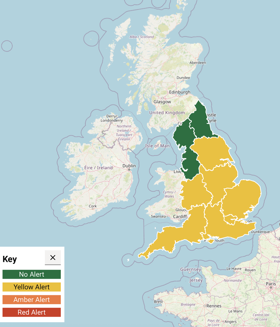
UK Health Security Agency heat health alert
|UK HEALTH SECURITY AGENCY
“When we have areas of high pressure, the air generally sinks, and as it sinks over the course of two or three days, it is warming at around 10C per kilometre.
“On Saturday, the instead of having just the descent of the air, we have a couple of days of heating from the sun and we will see the temperatures rising even further, and through the weekend, we start to bring up some of that warmer air from the Continent.”
After a brief cooldown at the start of next week, the return of high pressure will relight the blue touch paper.
Jim Dale, meteorologist for British Weather Services and social commentator, said: “As we go through the end of the month and into the start of July, we could see summer record temperatures come under threat.”