


Snow is set to hit the UK once again as temperatures are currently forecast to fall below freezing.
The Met Office has forecast that there will be heavy showers in the West, while northern, hilly regions will be hit with snowfall.
It is set to follow a milder period this week, where temperatures are expected to remain warmer than usual for February.
However, the weather for the rest of the UK is set to turn more unsettled as the week goes on.
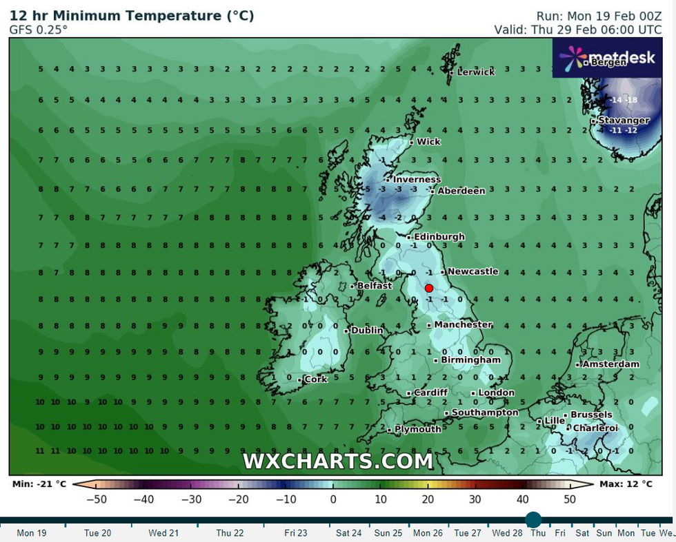
The latest forecast from WXCharts
|WXCharts.com
The Met Office forecast said: "[It will be] unsettled on Friday and over the weekend with showery conditions across the country and windy at times. Showers [are] likely to be heaviest and most frequent into western areas. Any snow will be restricted to hills, mainly in the north.
"Temperatures will be around average for the time of year, possibly rather cold in the north with overnight frost most likely here.
"A generally unsettled pattern is most likely through to early March bringing spells of rain across all areas at times, wettest in the west and northwest, and occasionally windy too.
"Temperatures generally around average though some short-lived colder interludes are possible. These more likely in the north which may allow snow to fall to lower levels at times."
LATEST DEVELOPMENTS
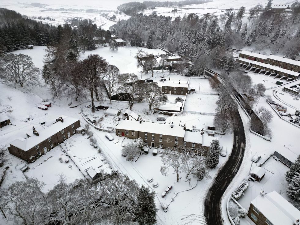
Heavy snow in Allenheads, Northumberland last week
|PA
Looking into the next two weeks, the unsettled conditions are set to continue , with winds set to hit the mainland from the West.
A Met Office spokesperson said: "A continuation of unsettled conditions is most probable for early March with winds tending to be from the west or northwest.
"Temperatures generally around average though with some short lived colder interludes possible. Confidence typically lowers towards mid-March but there are signs that conditions may turn less unsettled and drier as higher pressure has more influence.
"This also increases the likelihood of some colder spells but overall temperatures are mostly likely to be around average."
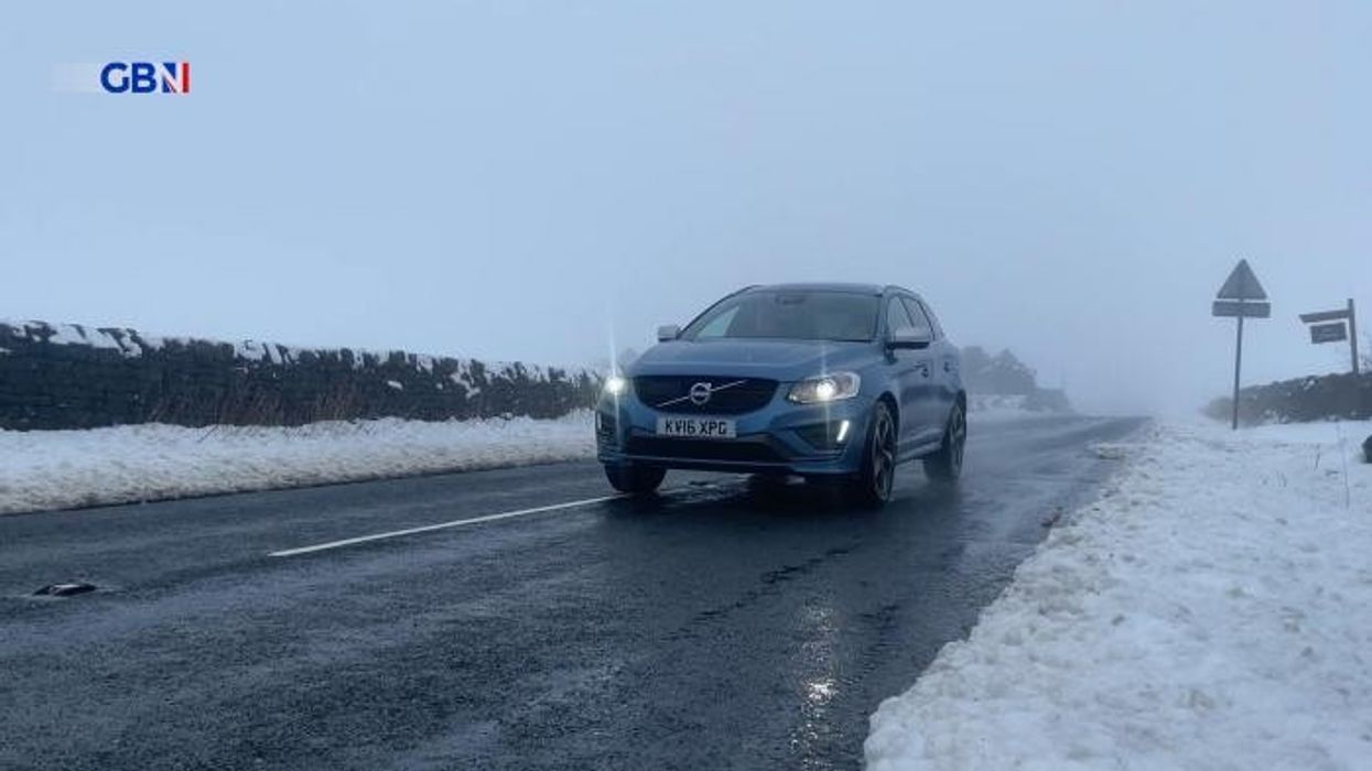
Temperatures are set to fall later this week
|PA
There are currently 61 flood warnings in place across rural areas in the Midlands, Norfolk and Yorkshire.
Local flooding from rivers is probable across parts of the Midlands and the South of England on Monday and continuing during Tuesday and Wednesday for parts of the South of England. Land, roads and some properties could flood and there could be travel disruption.
Further local flooding from rivers and surface water is possible on Wednesday across parts of the South West of England and the West Midlands.
Local groundwater flooding possible for the next five days in the Malton area of North Yorkshire. Land, roads and some properties may flood and there may be travel disruption.