


Forecasters have predicted thundersnow, a rare weather phenomenon, is likely to hit parts of the UK this month.
Thundersnow is a thunderstorm where snow falls as the primary precipitation, as opposed to rain.
In these particular conditions, the air closest to the ground is cold enough for wintry shower, but is still warmer than the air above it.
As the hotter air rises, water droplets create tall, thunderous clouds.
TRENDING
Stories
Videos
Your Say
Within these clouds, which can form within just one hour, water droplets freeze and start to fall as hail, picking up a negative electric charge on the way.
They then rub against positively-charged ice crystals to create lightning and thunder.
The phenomenon is so unusual because it can only occur in a few months of the year, the Met Office said.
It is also said to only happen around 10 times per year across the globe.
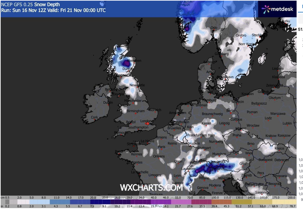
Scotland is expected to be hit by the heavy snowfall
| WX CHARTSWhen thundersnow occurs at night, the lightning appears brighter and significantly more visible because the light reflects off the snowflakes.
The snow contained within the thunderstorm acts to dampen the sound of thunder, however, meaning it can only be heard within a three-mile radius.
A cold wind from the Arctic is set to blow snow showers across northern Scotland, with forecasters saying they will become thundery.
There is also a chance of thundersnow in Northern Ireland, eastern England, Wales and south-west England. Scotland, though, have become used to this phenomenon, and often see warnings for thundersnow in the winter months. Most recently, in January of this year.
LATEST DEVELOPMENTS
'Dangerous' winter deluge to dump half a foot of snow as Britain freezes in Arctic snap
Met Office issues 16-hour amber warning as 'blizzard conditions' to bring heavy snow
Met Office issues major 15-hour snow and ice warning as mercury plummets
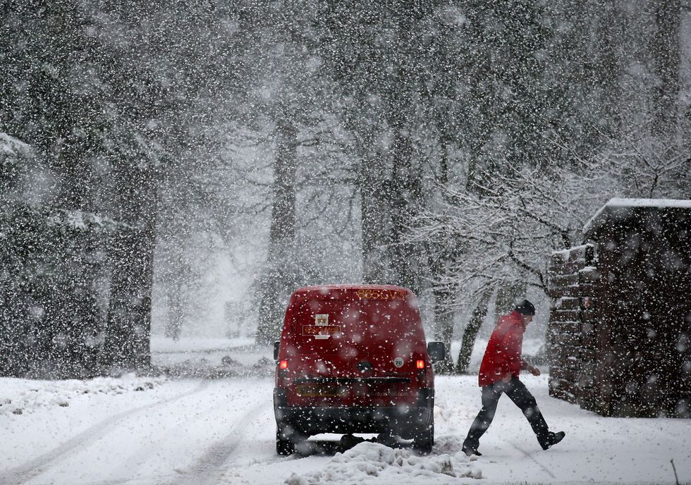
Forecasters have predicted that thundersnow is likely to hit parts of the UK
|PA
In Europe, thundersnow is most common in places such as northern areas of the UK and parts of northwestern Europe during winter.
The icy conditions are expected to last until Friday, when temperatures are said to rise.
The news comes as the Met Office have issued yellow warnings for snow and ice this week amid freezing temperatures.
Most of Scotland has been covered with the warnings, leaving dozens of schools and nurseries forced to close due to the weather.
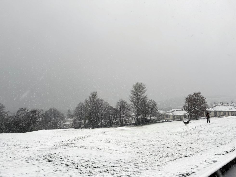
The Met office have issued yellow warnings across Scotland for icy conditions
|PA
Temperatures could reach as low as -12C.
The biggest snowfall is expected in parts of the North Yorkshire Moors and Yorkshire Wolds, which have been hit with an amber alert tomorrow from 3am until 9pm. Up to 25cm (10in) of snow could fall in those areas.
London Mayor Sadiq Khan has implemented the Severe Weather Emergency Protocol (SWEP) to provide extra accommodation for homeless people.
The SWEP is activated when temperatures fall to 0C. It was in place for 22 nights last winter, with boroughs in the capital housing more than 2,000 individuals.
Our Standards: The GB News Editorial Charter