


A deadly weather phenomenon looks set to rock the UK as Storm Ciaran's sting jet stream could disrupt travel, utilities and may even cause structural damage.
The situation is being compared to the Great Storm of 1987 which resulted in 18 deaths across Britain.
Storm Ciaran has also coincided with 249 flood warnings and alerts.
England faces a total of 221 warnings and alerts, the Environment Agency has revealed.
WATCH NOW: Storm Ciaran is threatening to wreak havoc across the UK
A further 28 have been issued across Scotland and Wales.
French weather expert Anthony Grillon suggested a "violent" sting jet could hit much of Western Europe, including Britain.
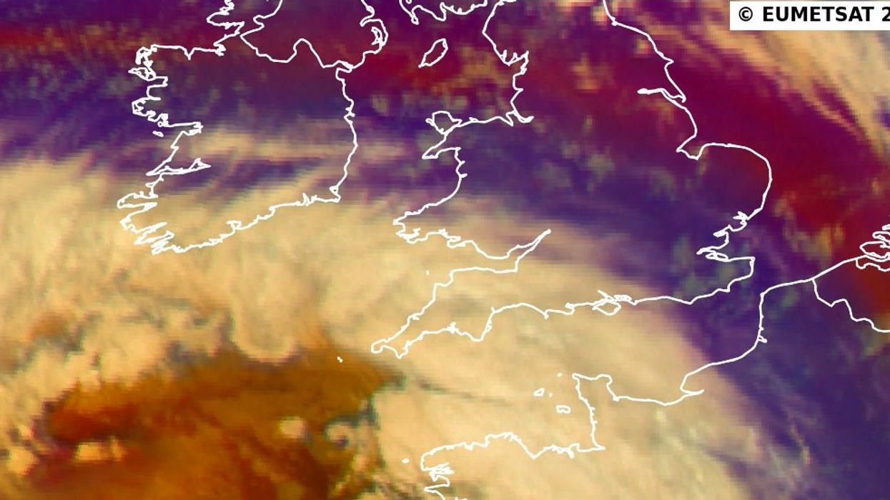
He said: "Night falls on the 'weather bomb' which is none other than depression Ciaran.
"It offers us a magnificent satellite image and a hook testifying to a very probable 'sting jet' (or occlusion jet stream), an area where the winds are the most violent."
Spain could also face similar conditions, with a Malaga-based weather service warning: "Surprising and fearsome 'sting Jet' on the southern flank of the Borrasca Ciaran during its rapid deepening."
LATEST DEVELOPMENTS: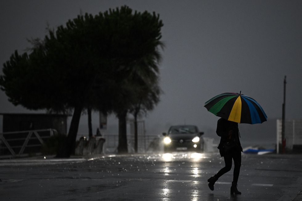
A woman holding an umbrella crosses a street under the rain ahead of storm Ciaran on November 1
|GETTY
A sting jet is is a small area of very intense winds which often hits 100mph or more, the Met Office has said.
The meteorological phenomenon is associated with areas of rapidly deepening low pressure.
The Storm of 1987 resulted in a damage bill of £1.5billion and led to BBC weatherman Michael Fish coming under fire after telling Britons "there isn't" a hurricane on the way.
Hampshire, Jersey and the Isle of Wight declared major incidents amid concerns about Storm Ciaran posing a "risk to life".
The decision will see some schools close across the impacted areas, alongside some in Devon and Cornwall.
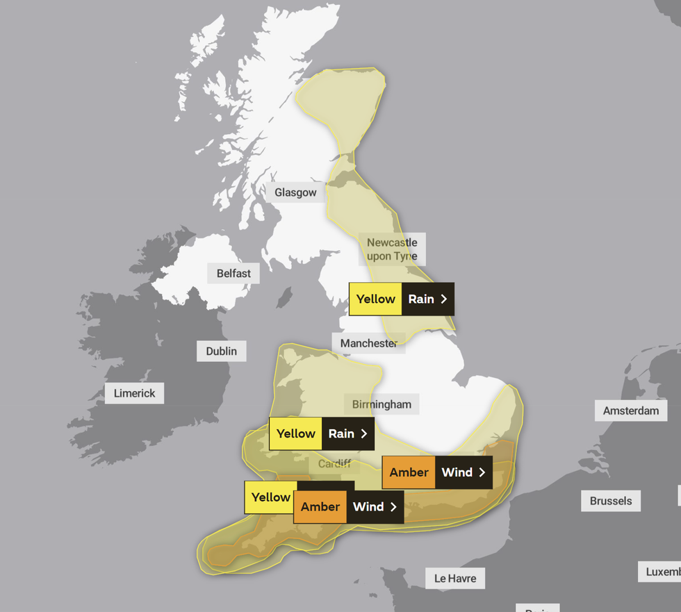
The Met Office has issued five weather warnings later today
|MET OFFICE
Shipping forecasts have claimed gusts of 98mph could hit the islands, with winds peaking at around 110mph in the middle of the English Channel.
Red weather warnings have been issued in both the Channel Islands and France.
The UK's national weather service has issued five weather warnings today, with one rain warning remaining in place tomorrow.
Most of Wales, parts of England and the eastern flank of Scotland will likely face rain and wind warnings.
Met Office Deputy Chief Meteorologist, Brent Walker, said “Wind and rain warnings associated with Storm Ciarán are in force from tonight through until Friday, with further updates possible.
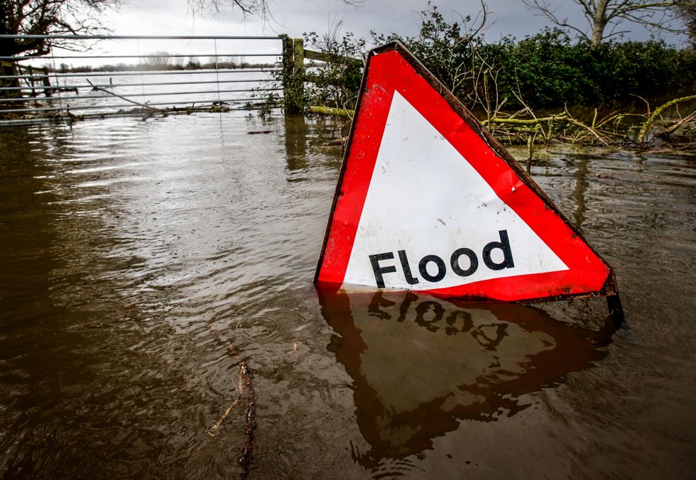 A flood sign | GETTY
"These include Amber warnings for wind for parts of southwest England on Thursday morning and the far south and southeast of England Thursday daytime and early evening.
“Very strong winds are expected along southern coastal areas of England in particular, where gusts of 70 to 80mph are possible, perhaps exceeding 85 mph in a few exposed locations. Further inland, gusts could reach up to 50 or 60mph.
“As well as strong winds, there will be heavy rain across many parts of the UK.
"Much of southern and western England, Wales, northeast England and eastern Scotland look to see the wettest conditions between Wednesday evening and Friday morning. 20-30 mm of rain is likely to fall quite widely, with 40-60 mm possible over higher ground.
"Some parts of Wales and southwest England may see 80 mm of rain. This rain will fall on already saturated ground, bringing the risk of flooding.”