


Britain is set to see a mixed bag of weather over the four day weekend, with heavy rain and wind, but also some sunny spells.
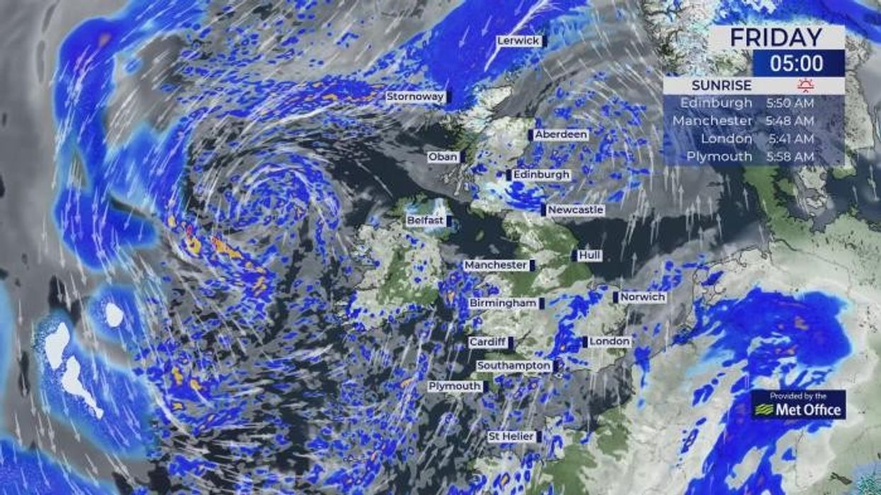
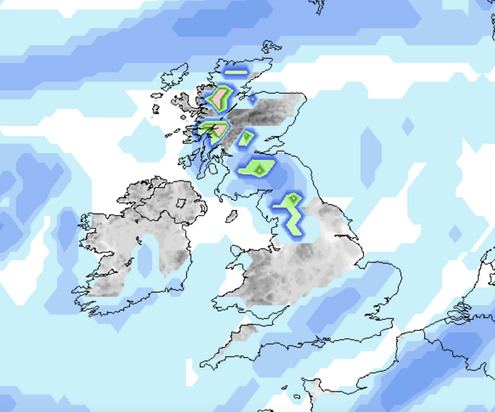
Throughout Good Friday, low pressure is set to bring showers and longer spells of rain across the UK, although drier spells will develop later in the day from the east.
It will overall be a mixed day with occasionally hefty downpours and a freshening southwestern wind.
Forecasters predict there will be a slight overall improvement through Easter weekend with some scattered showers.
It is set to be a mixed weekend of weather
|NetWeather
Going into the early hours of Saturday morning, showers are set to hit in southern and western areas, though there is an increasing chance of brighter spells further north and east.
Sunday looks to be the best day of the week; however, conditions will return to more unsettled from the south later Sunday and into Monday.
Despite a chilly start, Sunday is set in brighter spells with highs of 16°C in central and southern parts of England and 15°C in the northwest of England.
Easter Monday will be a widely unsettled day, at least across southern areas with the best of the conditions in the morning further north.
LATEST DEVELOPMENTS:
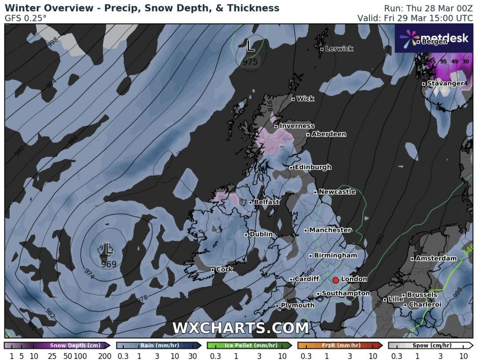
The Good Friday forecast from WXCharts
|WXCharts.com
Deputy Chief Meteorologist at the Met Office Dan Harris, said: "The weather is expected to gradually improve following the widely unsettled spell of the past few days, with a fairly typical mix of spring-like weather across the UK.
"There will be some sunshine, and it will feel increasingly warm for most as the winds become lighter. However, the west and especially southwest is likely to see passing showers too, which could be quite heavy and frequent at times.
"Eastern coastal districts are also likely to feel increasingly cold as an onshore breeze develops, threatening persistent low cloud in some areas too."
"At present Tuesday looks mostly settled, between one area of low pressure responsible for Monday’s rain in the south or southeast, clearing to the east, and another low arriving from the southwest later. How quickly this second low and associated rain arrives is a significant point of uncertainty in the longer-range forecast."
RAC Breakdown Spokesperson Rod Dennis said: "With plenty of classic early spring weather over the Easter bank holiday weekend – showers and gusty winds along with some brighter interludes – drivers getting away will definitely need to be on their guard and ready to cope with rapidly changing road conditions.
"Slowing down in the heaviest of downpours on Good Friday and Easter Saturday is a must as stopping distances will be far greater.
"It’s vitally important drivers don’t travel through any standing water at speed, however shallow, as this dramatically increases the risk of aquaplaning and losing control of their vehicles.
"When it comes to an easier time on the roads, Sunday could be drivers’ best bet before the weather deteriorates once again on Easter Monday. As the weather over the weekend is so changeable, it’s also a good idea to have sunglasses to hand to make driving safer when the sun makes an appearance and causes wet roads to dazzle."