US weather: Arctic chill to bring snow as temperatures hit ‘record lows’

US weather: Arctic chill to bring snow as temperatures hit ‘record lows’
|The Weather Channel

Although cold in the north, baking heat persists in the southern states
Don't Miss
Most Read
The ‘first chill of winter’ will bring snow to parts of the US as bitter winds spill in from the Arctic.
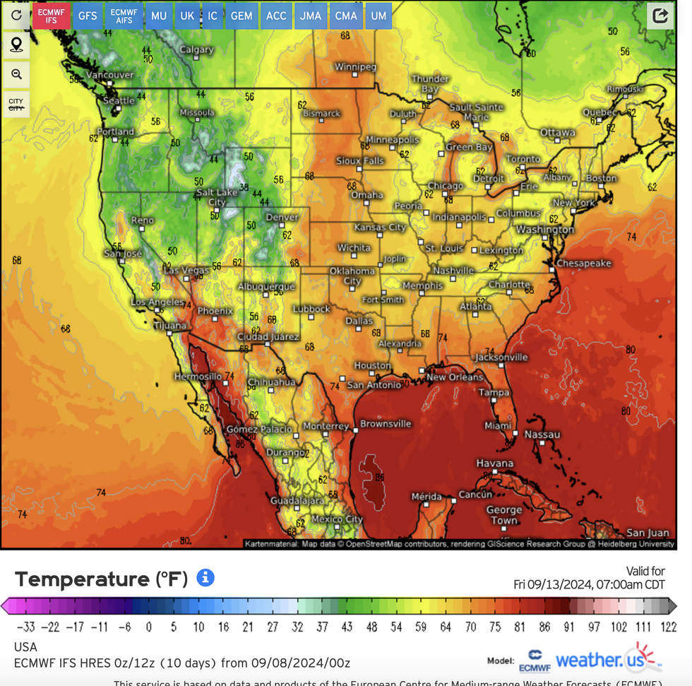
Temperatures across Colorado, Utah, Idaho, Oregon, Washington, Montana and surrounding states this week could hit ‘record lows’.
A nationwide split, however, will see baking heat persist further south with storms erupting at the clash point.
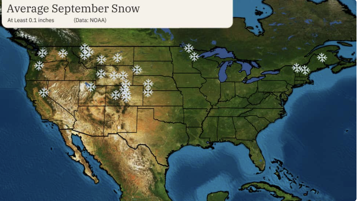
Snow has already hit the Colorado mountains, with more on the way through the start of autumn.
 US weather: Arctic chill to bring snow as temperatures hit ‘record lows’ | The Weather Channel
Weather Channel meteorologist Danielle Banks said: “Some snow has already been spotted in the Colorado Rockies, which is not uncommon.
“Parts of the highest elevations of the Rockies in Colorado were dusted with light snow, including Berthoud Pass west of Denver and Pikes Peak west of Colorado Springs.
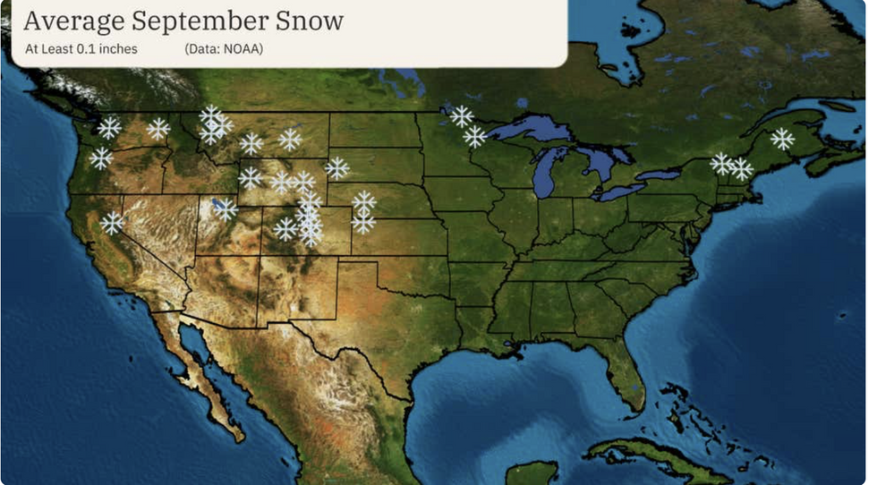
“On average, some locations in western Montana, Wyoming and Colorado see their first measurable snow of the season in September.”
Thermometers across the north and Midwest through the coming days could dip close to freezing.
Further snow will likely be confined to the hills and mountains, although chilly Arctic winds will bring out the winter coats.
US LATEST:Jim Dale, US meteorologist for British Weather Services and co-author of ‘Surviving Extreme Weather’, said: “Cold air is pushing down into northern and central regions, and the Midwest.
“Over high elevations, there is the potential for further snowfall as parts of the US get the first chill of winter to come.”
Storms will form where cold air bumps against warm gusts from the Gulf of Mexico, he warned.
Despite a chilly snap gripping parts of America, there is still time for an Indian Summer, he added.
He said: “We should see temperatures recover at some point before the end of autumn, and there is still the chance of an Indian Summer in these regions.”
The National Weather Service (NOAA) said the cold snap is partly the fault of high pressure spreading across the southern Plains to the Midwest.
Low-lying regions can expect morning frosts as the mercury plummets to below average for the time of year.
An NOAA spokesman said: “Large surface high pressure extending from the southern Plains to the Midwest and East throughout Tuesday will not only supply sunny and dry conditions, but well below average temperatures.
“Daily record lows are possible between the Midwest and Mid-Atlantic as temperatures dip into the 40s for most locations.
“Patchy frost is possible in low-lying protected areas.”
On the other side of the county, temperatures continue to rocket, sparking further extreme heat alerts.
The NOAA said: “Potentially dangerous and record-breaking heat is forecast to continue across southern California as highs soar into the upper 90s and triple digits away from the immediate coastline.
“Excessive Heat Warnings remain in effect through Monday as a gradual cooldown commences on Tuesday.
“Highs into the triple digits are also forecast throughout the remainder of the Desert Southwest, but not considered as anomalous as values forecast across southern California.”
September snow in the US is not unusual, although this early in the season it is confined to higher regions.
The last 10 years have brought periods of ‘destructive snow’ to the northern tiers and the mountain west, according to The Weather Channel.
Meteorologist Jonathan Erdman said: “In the past 10 years, we've seen several examples of destructive September snowstorms.
“On average, some locations in western Montana, Wyoming and Colorado see their first measurable snow of the season in September.
“That's not only the higher mountain peaks, but also the adjacent Front Range, including Denver.”


