


Summer’s entry is about to erupt in a thundery, hail-scattered heat blast as a volatile plume surges in from the tropics.
"Hot" temperatures at the end of next week are being tentatively touted by cautious meteorologists.
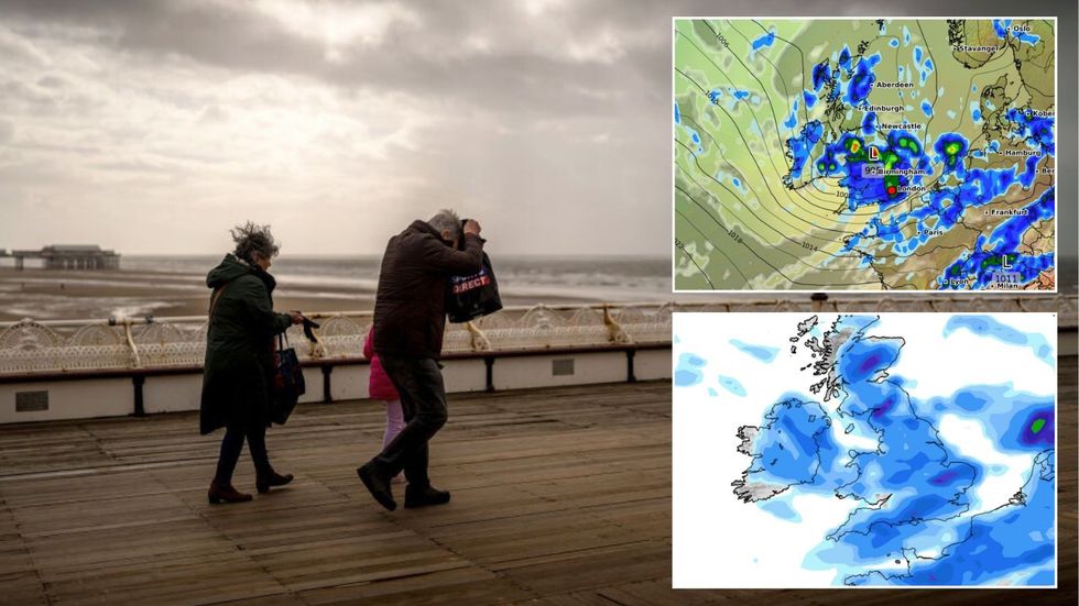
But deep instability and a relentless picture of "changeable" wind, rain and yo-yoing mercury threaten violent static storms.
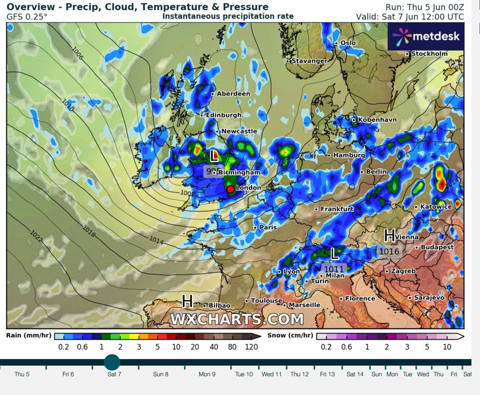
The driver will be a low-pressure storm system off the west coast building on weather forecasting models.
Summer’s entry is about to erupt in a thundery, hail-scattered heat blast as a volatile plume surges in from the tropics
|Getty/ WXCHARTS/ Netweather
Met Office meteorologist Alex Burkill said: “If we get that low lingering to the west of us, and that allows that plume of warmer, moist air to come up from the south, then that does bring the risk of potentially a rise in our temperatures, and we could see something a bit warmer or hotter as we go through next week.
“But with that there would be a lot of instability, and we could have some severe thunderstorms kicking off as well.
“As we go through the end of the week, it is still a changeable theme as we go through Thursday and into Friday with low pressure likely to be nearby.”
Britain’s weather so far this summer has been nightmarish for meteorologists scratching their heads over tussling pressure patterns.
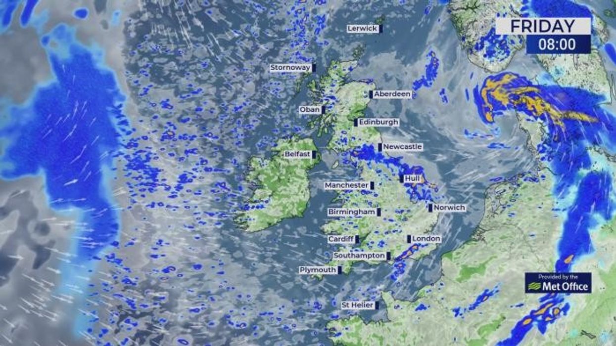
Rain is expected to sweep across the country this weekend
|WXCHARTS
The jet stream, further south than typical for the time of year, is steering unsettled low-pressure in from the west.
Meanwhile, high pressure close-by promises rising temperatures and sunshine, but remains just out of reach the UK.
The result is a frustratingly fluctuating picture of wind, showers and periods of heavy, thundery rain.
Burkill said: “I am getting a little bit tired of using the word ‘changeable’ to describe our weather, but it is fair to say that the weather is going to be pretty changeable through the next 10 days.
“The jet stream is running close to the UK, and importantly, we are on the northern side of it, which is the cooler, fresher side.
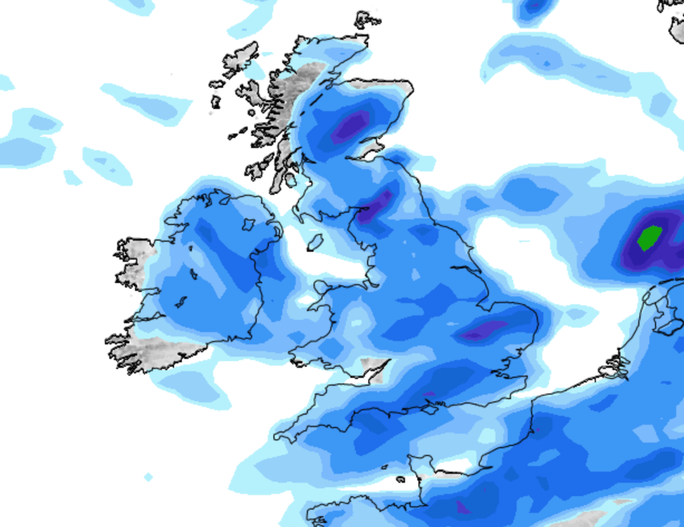
“The jet is driving another area of low pressure towards the UK, and this is going to bring some heavy rain as we go through Saturday.
“There is the potential we could see some rainfall totals building up, and some places could see 30 to 40, or in excess of 50mm of rain as we go through Saturday.”
Sunday will be the drier day of the weekend, before the rain returns and a glimpse of proper summer arrives next weekend.
While the first half of the month shows "no signs of a flaming June," the run into July could deliver.
Jim Dale, meteorologist for British Weather Services and social commentator, said: “There is no signs of a flaming June in the next week with more unsettled conditions and average temperatures.
Deep instability and a relentless picture of "changeable" wind, rain and yo-yoing mercury threaten violent static storms
|Netweather
“But there are signs that during the second half of the month we could see a return of high pressure and with this, rising temperatures.
“We could yet get 30C, but this depends on what high pressure over the Continent does, and how close it gets to the UK.”
Jason Nicholls, lead international forecaster for AccuWeather, added: “There is a chance that drier and brighter weather may return after lingering showers and heavier rain through this week.”