


Thunder-struck Britain is once again on the boil with this week likely to smash the hottest day of the year.
Tropical downpours will give way to another blast of heat with the spring top temperature poised to tumble.
A spate of storms at the start of the week is likely to be only a "temporary blip" ahead of another "summer" scorcher.
Jim Dale, meteorologist for British Weather Services, said: “We might get the highest temperature of the year so far this week, and if we do, it is likely to be across the south or the southeast, London, East Anglia or Kent.
Thunder-struck Britain is once again on the boil with this week likely to smash the hottest day of the year
|PA/ WXCHARTS
“The wet weather at the start of the week is likely to be a temporary blip, as unstable air comes in from the Continent and the Bay of Biscay.
“Otherwise, we are, at least for a bit, back to watching this space with temperatures back on the rise through the end of the month.”
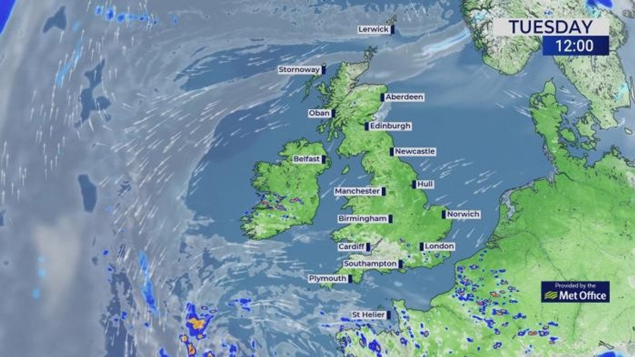
It comes as Britain braces for a deluge of thunderstorms putting parts of the country on spring flood watch.
Up to two inches of rain is forecast to hit parts of the southwest through the start of the week.
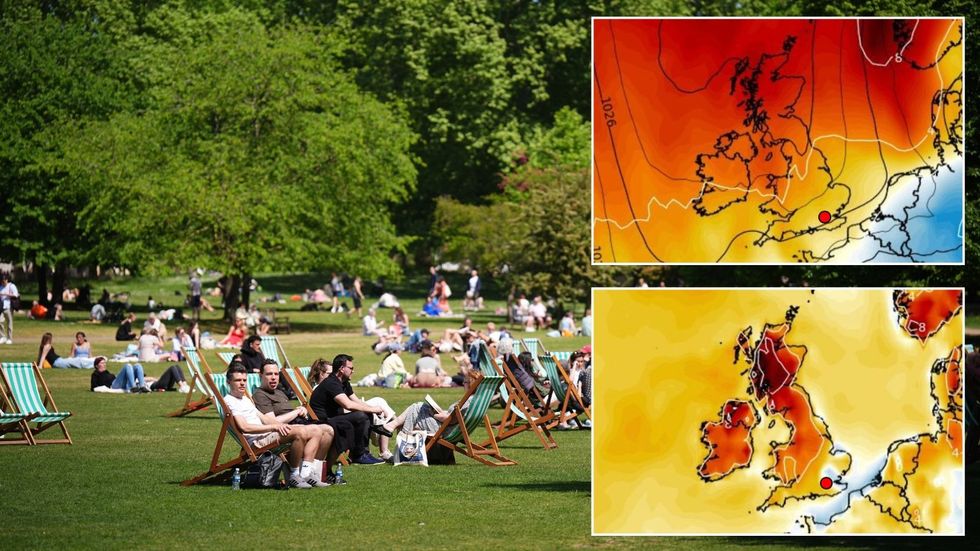
However, high pressure, the driver of warmth and sunshine is set to return widely to see out the month.
LATEST DEVELOPMENTS:
With the return of the high, rising temperatures ahead of the weekend will see off northerly gusts and chilly mornings.
Met Office meteorologist Alex Burkill said: “As we go through the week, there is a reasonable chance that we will see high pressure returning.
“So, it is looking largely dry with lots of settled weather, but the wind direction is coming in from the north so there will be a fresh feel to things at times and we could still have some chilly nights.
“By the end of the week the high pressure is likely to have shifted to the east bringing largely settled weather to many places, but it is going to change where the air is coming from with perhaps a bit more east, southeasterly and this is going to lead to a rise in temperatures.”
High pressure, the driver of warmth and sunshine, is set to return widely to see out the mont
|WXCHARTS
The highest temperature so far this year is 29.3C recorded at the start of the month in Kew Gardens, London.
The highest temperature for the month is 32.8 which was set in Camden, London, in 1922.
Although all-time records are unlikely to tumble, this week could push the mercury close.
Burkill said: “On the whole, it looks like high pressure is going to be the dominating pattern as we go through the week, and with the change in wind direction we should see the temperatures rise as well.”
As temperatures rocket, bookmakers are once again taking the axe to the odds on record spring heat.
Ladbrokes’ Alex Apati said: "All the signs are pointing towards a record-breaking scorcher of a month ahead."