UK weather: Summer on hold as mercury plunges to just 3C at the end of JUNE

June will end will chilly lows of 3C
|WXCharts

Summer officially begins on June 20, however, the temperatures are far from summery
Don't Miss
Most Read
Latest
Britons should brace themselves for more unexpectedly cold weather, as the temperature is set to fall to just 3C by the end of June.
Summer officially begins in less than a week, and after the UK experienced the warmest May on record, many would be expecting June to follow suit.
However, those expecting to change into their summer wardrobe soon will likely be disappointed, as forecasters have predicted that the mercury will drop before the month is up.
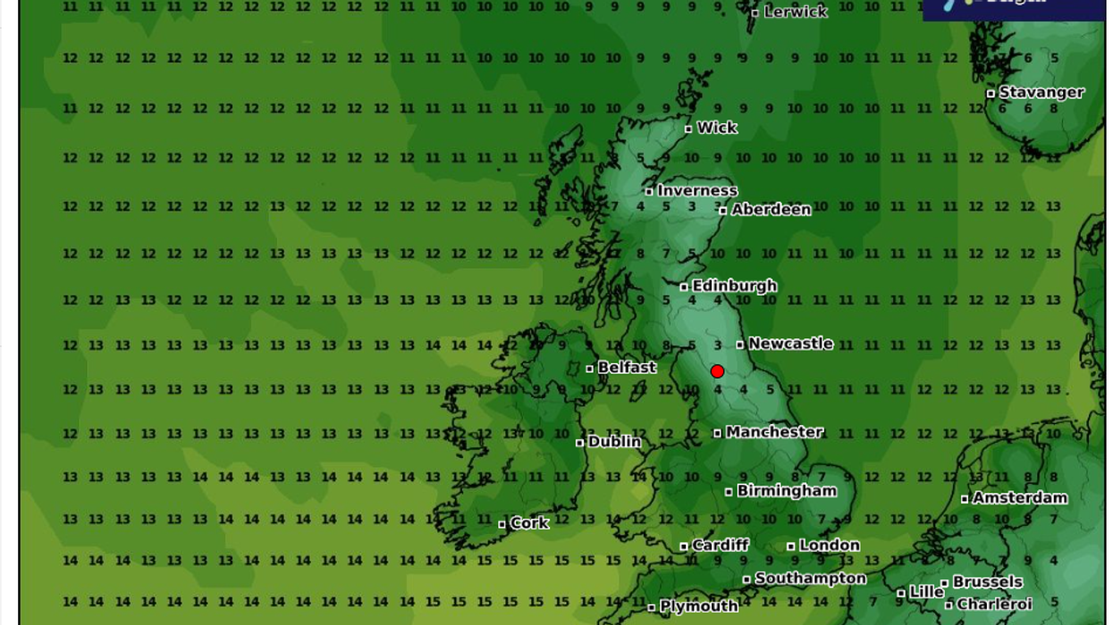
In their model for June 29, WXCharts has forecast that the temperature will fall to 3C in Newcastle.
 June will end will chilly lows of 3C | WXCharts
Those in Aberdeen and Inverness will also have to wrap up warm, as the mercury is expected to fall between 3C and 4C.
The first 10 days of June have been on average two degrees cooler than expected, and the outlook looks like it will not change for a while.
The south doesn't fare much better, with London reaching a high of 10C, whilst the warmest predicted mercury is a measly 12C in southern Wales.
Last year, June was the warmest on record, beating the previous record set in 1940.
WEATHER LATEST:
However, the temperatures for 2024 are “disappointing for June”, Met Office meteorologist Ellie Glaisyer said.
The Met Office added: “There are tentative signs of building high pressure from the west at times, but showers or longer spells of rain are also likely to affect the country, with the eastern half of England and Scotland on balance most likely to experience wetter, or at last more showery weather.”
According to the national weather office “temperatures are struggling to reach average June values and it’s especially chilly in the northwest”.
Weather maps from the European Centre for Medium-Range Weather Forecasts suggest atmospheric temperatures will become very cold as freezing winds flowing counter-clockwise around a low-pressure zone currently over Norway and Sweden will send temperatures plunging.

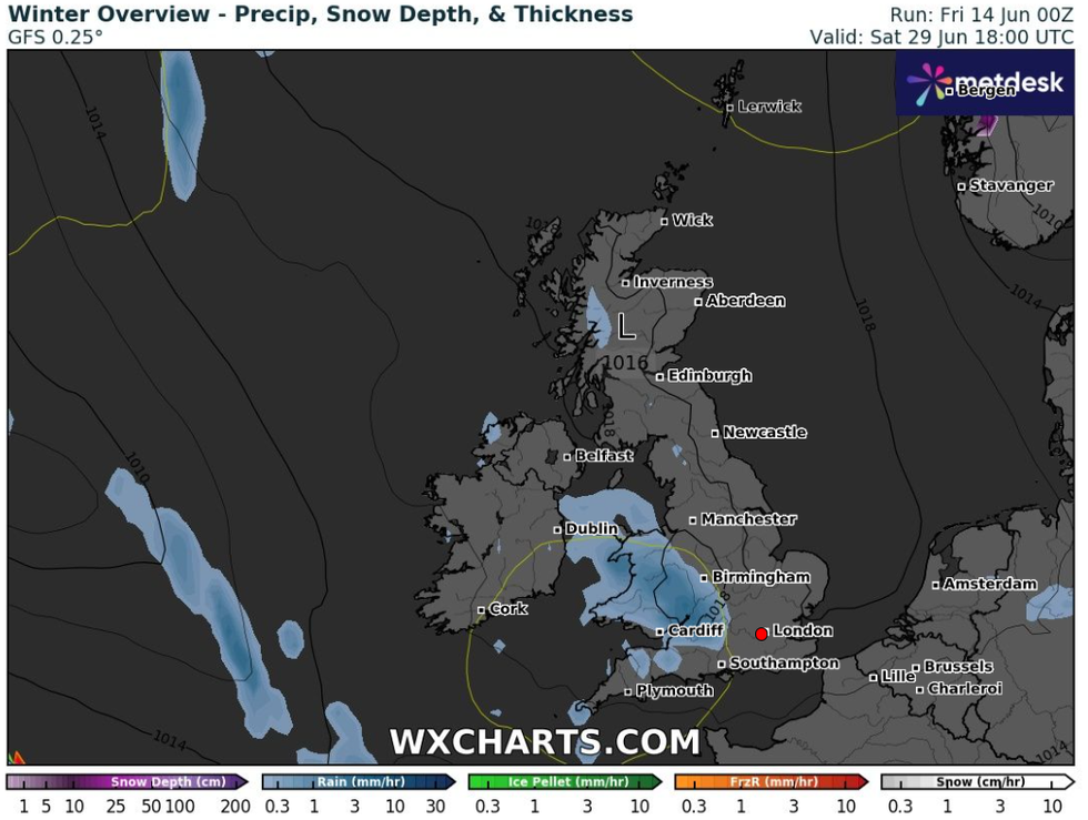
Those expecting a warm start to summer will likely be disappointed
|WXCharts
Dr Robert Thompson, a meteorologist from the University of Reading, blamed the chilly Atlantic jet stream for bringing in the cooler air.
The Met Office describes a jet stream as “a core of strong winds around five to seven miles above the Earth’s surface, blowing from west to east”, and Thompson said it is bringing in cold air from Greenland and Iceland.
Thompson said: “Yes, at lunchtime you need a coat, and it is not what you expect from June - but we have got so used to rising temperatures caused by global warming that we expect the months to be warmer than average.”


