


Britons are set to enjoy a heatwave this week with temperatures expected to reach up to 29C - followed by a weekend wash out.
Temperatures are set to build from Thursday until Saturday, and could see the hottest day of the year so far.
However, the glorious sunshine is set to come to an end with cloud, rain and thunderstorms sweeping in over the weekend as the nights become humid.
The Met Office expects the hot temperatures to beat the current 2023 UK record of 25.1C set on May 30.
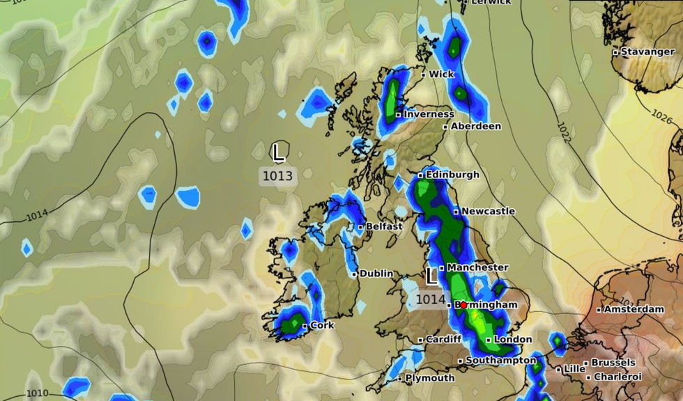
The glorious sunshine is set to come to an end with cloud, rain and thunderstorms sweeping in over the weekend as the nights become humid
|WXCHARTS
The threshold for a heatwave is different across the UK, but in some areas it is classified as hitting highs of 25C to 28C across a three-day period.
Highs of up to 23C are expected later today, with the warmest temperature on Friday predicted to reach 26C or 27C, likely in central and southern England.
Saturday will be the hottest day, with forecasters suggesting temperatures could top 27C or 28C, with a small chance of it hitting 29C, north of London.
The conditions are caused by an "Iberian plume" - a mass of very warm air travelling north from Spain - which will also bring an increased risk of thunderstorms.
Speaking to GB News, Jim Dale, meteorologist for British Weather Services said: "Peak temperatures of around 28C will hit the London area on Saturday and Sunday.
"Higher humidity will result in sporadic showers and thunderstorms with the south of England and Midlands most prone.
"The conditions come as a bit of a shock to the system after a virtually dry month. Prepare for some deluges and don’t be in the wrong place with concern to lightening risks."
Simon Partridge, forecaster for the Met Office, added: “It will get warmer but there may well be more cloud with heavy, thundery showers mixed in as well.
“There will still be plenty of sunshine around, but it will come with much muggier nights."
According to Partridge, there will not be a significant change in the weather over the next few days but from Thursday Storm Oscar, which is currently across the Canary Islands, will push the high pressure further east, causing temperatures to rise to 25C or 26C.

The conditions are caused by an 'Iberian plume' - a mass of very warm air travelling north from Spain - which will also bring an increased risk of thunderstorms
|WXCHARTS
As the weekend arrives there will be a risk of thunder and showers from the south-west to the north-east.
Partridge added: “We continue with showers on Sunday and Monday and it will turn a little bit cooler again.
“Showers over the weekend will become heavy at times, and there’s a risk of a bit of thunder.
There will be 10-15mm of rain over the course of two to three hours, which is nothing too significant.”
So far the hottest temperature in the UK was 25.1C in Porthmadog, North West Wales, on May 30, but Partridge said the country is 'certainly' going to see higher temperatures.