UK weather forecast: Scorching 28C heat to smash Britain as maps turn red

Scorching temperatures are set to soar across Britain this week with highs of 28C and sunny skies before a return to more unsettled conditions
|Netweather

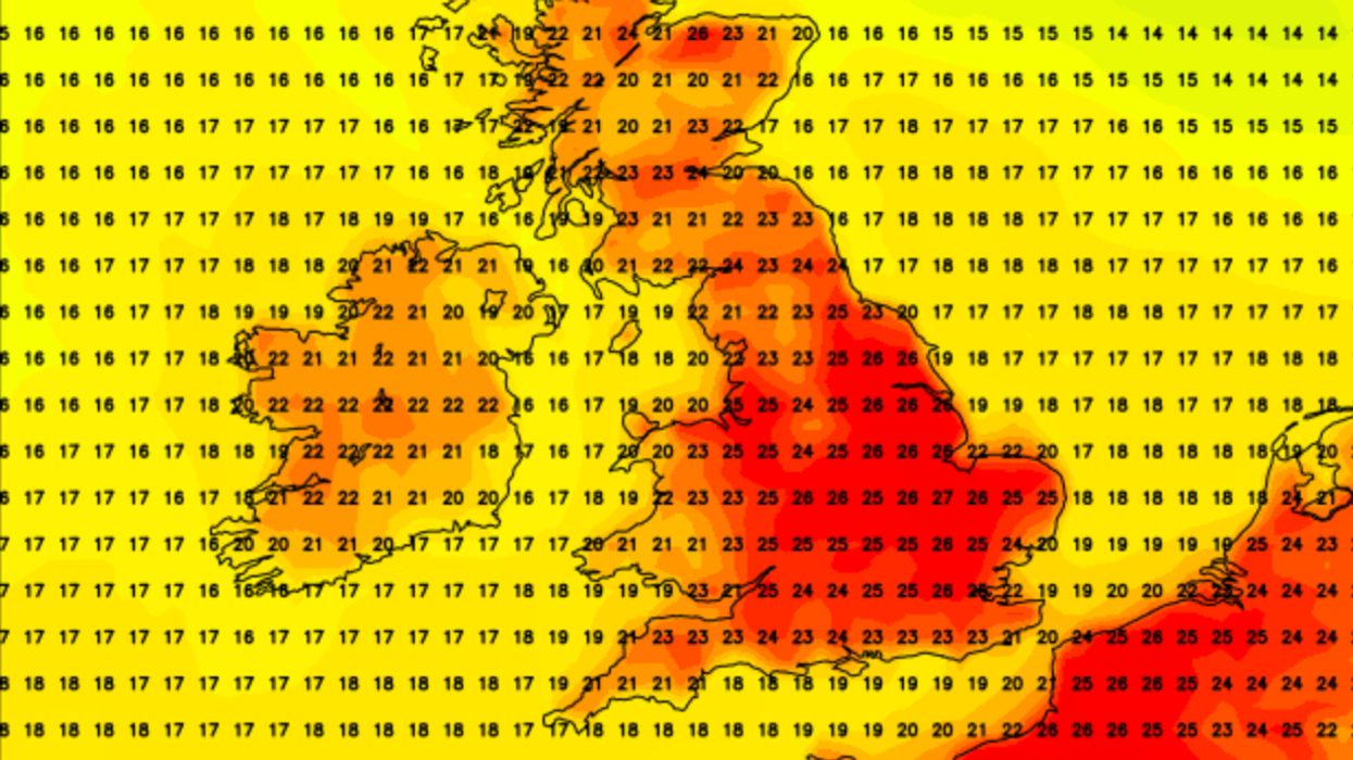
Weather maps show red areas of heat across England
Don't Miss
Most Read
Latest
Temperatures are set to soar across Britain tomorrow with highs of 28C and sunny skies before a return to more unsettled conditions.
The "short-lived interlude" will see temperatures rise on Thursday before low pressure brings a mixture of sunshine and showers on Friday.
Weather maps show red areas of heat in the south east and the Midlands.
A Met Office spokesperson said: "A short-lived warm spell coming up, before temperatures return closer to average by the weekend.

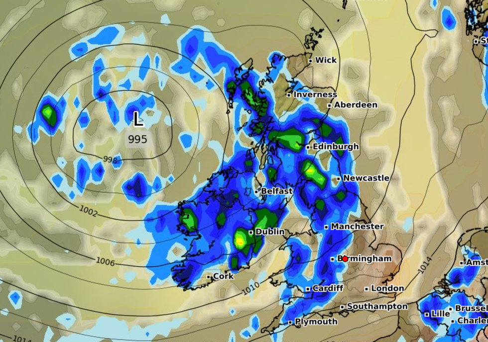
The 'short-lived interlude' will see temperatures rise on Thursday before low pressure brings a mixture of sunshine and showers on Friday
|Netweather
"Temperatures peaking on Thursday, widely in the low 20s and perhaps reaching mid to high twenties for central and southern areas."
It follows a series of downpours and thunderstorms which saw Storm Antoni batter the UK over the weekend.
Britons were hit with flooding and 78mph winds as the storm wreaked havoc across Exeter and Cornwall.
The weekend will present a “familiar pattern” with a “mixture of showery conditions and an unsettled period of weather for the UK”.
Next week looks set for more heavy rain and thunderstorms after the brief warmer spell has ended with a return to more "unsettled" weather.
Stephen Dixon, from the Met Office added: "And unfortunately for some, if you’re not a fan of this kind of weather, the outlook for next week really is for this unsettled picture to continue with a continuation of this showery regime with a mixture of sunny spells and showers looking likely through much of next week."
When asked about predictions for the remainder of the month, he said: "There is still that signal for that mixture of rain and showers through to the end of August, but you could see some more settled interludes in between.
"In terms of people’s memories, July may have felt like a bit of a washout with all that rain but temperatures were fairly close to average, albeit with a fair amount of rainfall.

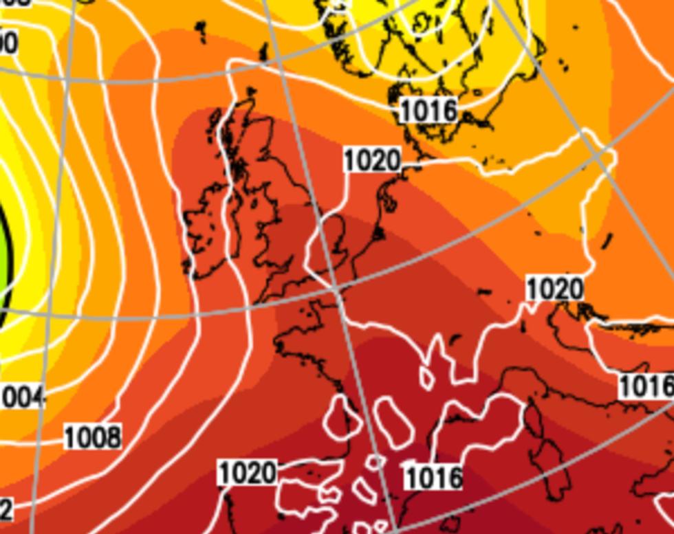
Next week looks set for more heavy rain and thunderstorms after the brief warmer spell has ended with a return to more 'unsettled' weather
|WXCHARTS
“We’re approximately half a degree warmer than average for summer so far and that’s largely spurred on by June temperatures."
In its five-day forecast the Met Office said: "Low cloud, drizzle and fog patches, mainly in the far west on Thursday.
"Otherwise some very warm sunshine. Turning cooler and more unsettled from Friday with heavy showers possible Saturday."


