


Summer’s arrival will be drenched in a deluge of torrential rain and gales as stormy weather crashes in from America.
Temperatures will fall in parts of Britain as chilly Arctic winds put some exposed regions at risk of frosts.
The dramatic U-turn will come as cyclonic low-pressure systems carried on the jet stream hurtle in from the Atlantic.
An almost immovable high-pressure dome, wedged over Britain for weeks, will finally crack as the heavens descend.
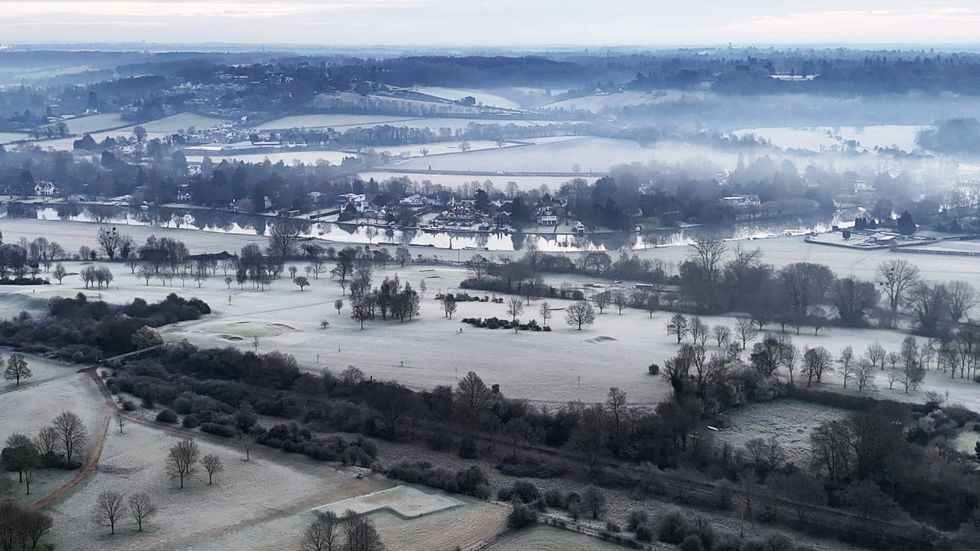
Parts of the country are expected to see frost in the coming days
|PA
Met Office meteorologist Honor Criswick said: “After a very dry season a change is on its way.
“Areas of low pressure just to the east of the United States will be swept up by the jet stream which still has enough fuel to power some areas of low pressure as they push their way eastwards across the Atlantic.
“We will see this on Saturday with an area of low pressure just to the east of Iceland dragging in some frontal systems, so there is quite a wet day on offer as we head into Saturday.”
Temperatures will hold their ground in the run up to the weekend with highs still in the mid-20Cs.
However, northern regions in the firing line of chilly Polar winds will dip below freezing overnight.
The next few days will be beset by bouts of wind and rain as the gates to the Atlantic swing open.
LATEST DEVELOPMENTS:
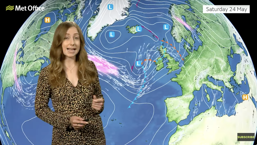
Met Office’s Honor Criswick describes the change in weather
|MET OFFICE
Criswick said: “On Friday, low pressure is taking hold and dragging in frontal systems moving their way eastwards, so most areas are going to see some rain at some point, and it is may even be heavy at times particularly across the west and it will be breezy at times, but temperatures are not going to be super-low.
“Another area of low pressure swept up by the jet stream sits to the north of the country dragging in some unsettled weather but also bringing in some quite windy weather.
“We remain in this westerly pattern, so there is a chance of some rain moving in from the west, and it is likely that Monday, the Bank Holiday, will be a mix of sunny spells and showers.
“So, there is some rain to come, and this is a little bit disappointing for the Bank-Holiday weekend.”
While southern and eastern regions hold on to milder conditions, the north will shiver in icy winds from the Arctic circle.
Despite the wind and the rain, parts of the country under clear skies will feel warmth in the sunshine.
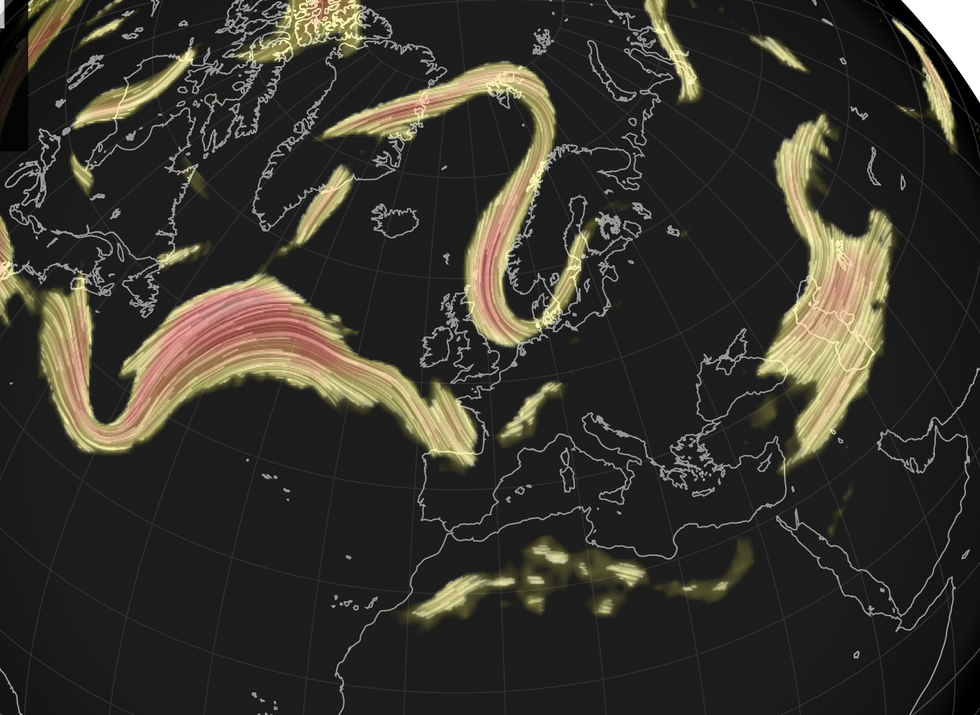
Jet stream heads in from the US
|NETWEATHER
Jim Dale, meteorologist for British Weather Services and social commentator, said: “There are going to be some pleasant spells, but while we are not talking about anything especially cold, there will be some cooler spells as temperatures will fall with the arrival of a Polar air mass.
“The weekend and bank holiday are otherwise looking mixed with rain and the risk of strong winds.
“We are seeing a return to an Atlantic weather pattern, and this means a temporary end to the very dry weather we have seen so far this spring.”
Met Office deputy chief meteorologist David Oliver said: “We’ll see a change in conditions this weekend as weather systems move in from the Atlantic.
“These will bring rain and windier conditions from the west later Friday, which will spread across the whole of the UK on Saturday.
“Strong winds will continue on Sunday as an area of low pressure passes the northwest of the UK.”