


A Black-Sea anticyclone will lock horns with an Atlantic storm to keep summer on hold for another week.
Britain will be stuck in a rut of heavy rain, autumnal winds and sub-par temperatures through the weekend.
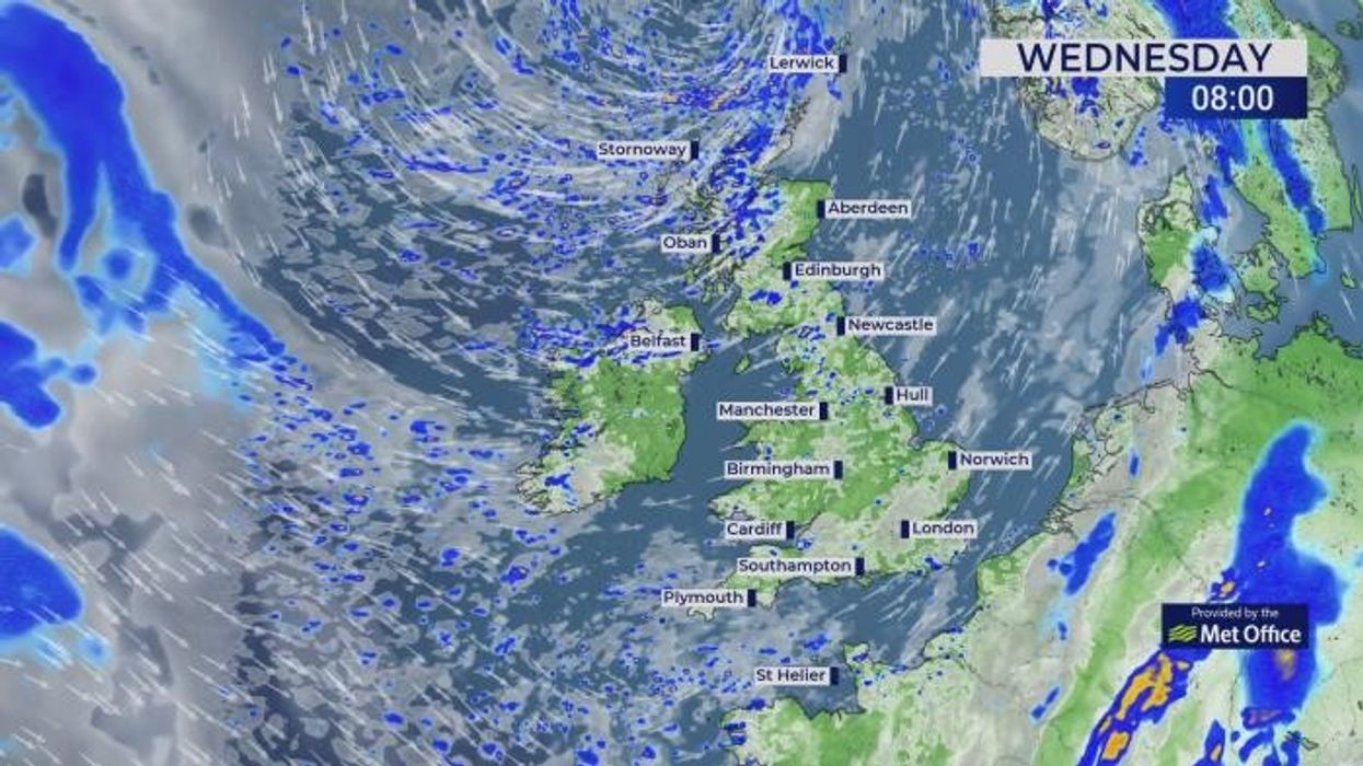
The culprit, a spinning storm north of the UK sweeping in bands of rain, will keep anchored in place helped by a high-pressure "anticyclone" near Russia.
Jim Dale, meteorologist for British Weather Services, said: “There is a large region of high pressure over the Black Sea towards Russia, and this is helping to keep low pressure stuck to the north of the UK.

A Black-Sea anticyclone will lock horns with an Atlantic storm to keep summer on hold for another week
|Getty/ WXCHARTS
“That low is going to be hanging around through the rest of the week and into the weekend, bringing bands of rain but there will also at times be some strong winds involved.
“In the winds, it will feel cooler, so we are looking at a real bag of spanners in terms of the weather this week.”
The grim forecast comes as government meteorologists announce Britain had the warmest and sunniest spring on record.
This year has already seen records tumble for sunshine and high temperatures, according to the Met Office.
Spring had a mean temperature of 9.5C, beating the long-term average by 1.4C, making it the warmest spring since 1884.
The UK has also seen 653 hours of sunshine, 43 per cent above the average of a series going back to 1910.
LATEST DEVELOPMENTS:
Met Office scientist Emily Carlisle said: "The UK's climate continues to change. What's particularly notable about Spring 2025 is the combination of record warmth and sunshine, alongside very low rainfall.
“This spring shows some of the changes we're seeing in our weather patterns, with more extreme conditions, including prolonged dry, sunny weather, becoming more frequent.”
The outlook for the next week, however, could not be more of a contrast as the nation takes cover from sweeping bands of wind and rain.
Met Office meteorologist Honor Criswick said: “On Wednesday, we see low pressure situated to the north, still sweeping in some frontal systems, some organised bands of showers and also some more persistent outbreaks of rain, so it is going to be an unsettled day.

The culprit, a spinning storm north of the UK sweeping in bands of rain, will keep anchored in place helped by a high-pressure 'anticyclone' near Russia
|WXCHARTS

Britain will be stuck in a rut of heavy rain, autumnal winds and sub-par temperatures through the weekend
|WXCHARTS
“Winds will pick up across the south and we could see some heavy and persistent downpours.
“Temperatures will remain in the mid- to high teens but a little offset by the strong winds at first.”
Southern regions will be warmer than further north, she said, although chilly winds will take the sparkle off any sunshine.
She said: “On Friday, there are more showers, still sweeping their way eastwards, still heavy and still turning a little blustery at times, and once again, they could merge bringing quite heavy and persistent outbreaks of rain, so a brolly or raincoat is certainly needed this week.
“Across the south it isn’t going to be too cold, highs in the high-teens or low-20Cs, but it is going to be fresh across northern areas, particularly in the brisk winds.
“It is likely we will see a continuation of the showers over the weekend.”