
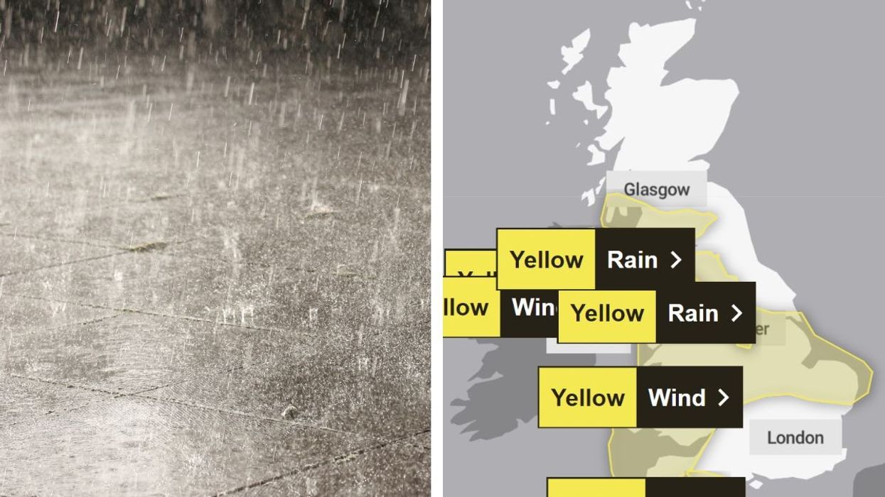


Five weather warnings have been issued with people warned to check conditions and to be careful ahead of travel.
The Met Office said areas near the Irish Sea could see gusts of up to 70mph, with parts of the Midlands, northern England and Northern Ireland experiencing winds of 45-55mph.
WATCH NOW: The latest weather for GB News from The Met Office
Yellow weather warnings for rain have been issued on Saturday for areas of Dorset and Devon as well as southern Scotland and Northern Ireland, with ground already heavily saturated.
Heavy rain is expected to fall widely in southern Scotland.
Met Office chief meteorologist Andy Page said: "Wet and windy weather is the main theme of the forecast this weekend, though there will be some drier interludes in the south on Saturday afternoon.
"Winds and rain could be disruptive at times, which has resulted in the issuing of weather warnings for both wind and rain. Winds could peak around 70mph on exposed Irish Sea coasts, with gusts of around 45-55mph likely quite widely in England and Wales."
LATEST DEVELOPMENTS:

Heavy rain is already hitting parts of the UK
|Getty
The bad weather could cause delays to road, rail, air and ferry transport. The Met Office added coastal routes and sea fronts may be affected by spray and large waves.
Unsettled weather is set to continue into Sunday and next week with a chance of further weather warnings.
Heavy rain is expected to impact the vast majority of the UK, with western areas of Britain most likely to see further heavy rainfall into the evening.
There will also be a deep area of low pressure moving towards Northern Ireland later in the day, which could reintroduce some gusty winds, especially in western areas alongside this further rainfall.
 People walk through the rain and wet weather | PA
Flood duty manager at the Environment Agency Kate Marks said: "Minor river flooding impacts are expected across parts of England until Tuesday, following recent heavy rainfall and with further rain on Saturday.
"Minor surface water flooding is likely across parts of Somerset, Devon and Dorset on Saturday, with further minor impacts also possible elsewhere.
"We advise people to stay away from swollen rivers and urge people not to drive through flood water as just 30cm of flowing water is enough to move your car."
An unsettled start to next week is likely, with an Atlantic influence on the UK weather bringing periods of wet and windy weather for many.