Met Office issues 24hr rain warning as Britain to be lashed just hours after being rocked by thunderstorms
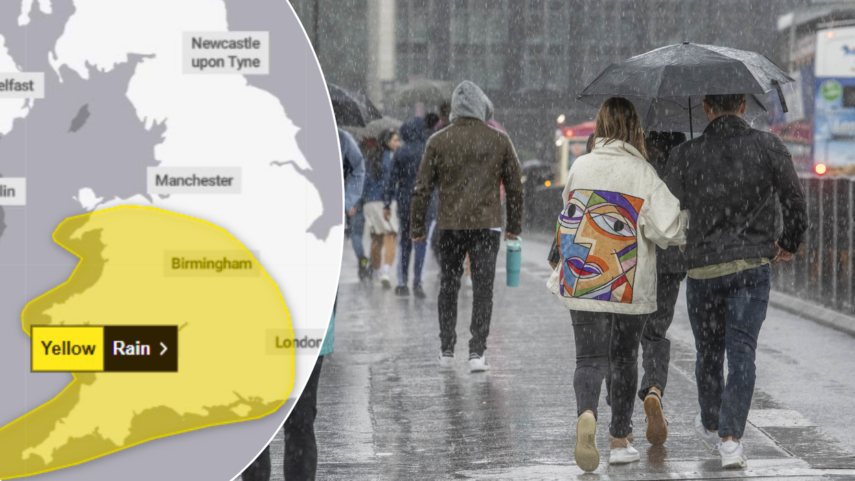
Britons have been told to brace for 24 hours of heavy rain by the Met Office
|MET OFFICE/PA

Almost all of Wales and the whole of southwest England are set for 'potential disruption'
Don't Miss
Most Read
Britons have been told to brace for 24 hours of heavy rain by the Met Office - just hours after two consecutive days of thunderstorms.
In a new yellow warning issued on Friday, almost all of Wales and the whole of southwest England are set for "potential disruption" throughout all of Sunday, September 22.
The Met Office says that the heavy rain could endanger driving conditions and public transport, and has warned of the likelihood of power cuts and flooding - the latter of which could cut off some rural communities for a time.
The rain is set to lash the country after a pair of yellow thunderstorm warnings - from midday to 8pm on Friday, and from 1am to midnight on Saturday.
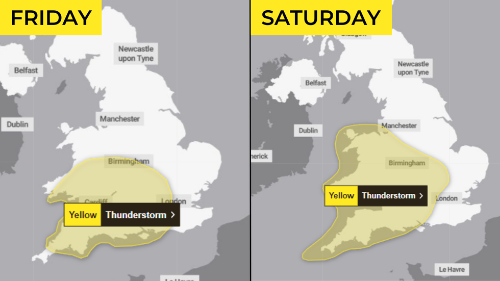
The rain is set to lash the country after a pair of yellow thunderstorm warnings
|MET OFFICE
The storms will contribute to the downpours, with the Met Office detailing how showers and thunderstorms are expected to merge into broader areas of heavy rain on Sunday.
Across the impacted regions, some areas can expect 30-50mm in fewer than six hours, with a few places receiving 60-80mm over the course of the day.
In the south west, locals have been told to prepare for some heavy rain during the early hours of Sunday morning, which will break up into slow-moving, heavy - and, in places, thundery - downpours during the daytime.
Meanwhile, the areas of heavy rain are likely to continue pushing north and west, the Met Office says, becoming slow-moving across some northern and possibly eastern reaches of the warning area during the rest of Sunday.
LATEST WEATHER NEWS:
Brits can expect rain through the week

Showers and thunderstorms are expected to merge into broader areas of heavy rain on Sunday
| PAFans heading to Old Trafford at Sunday were in for a battering... by heavy rain
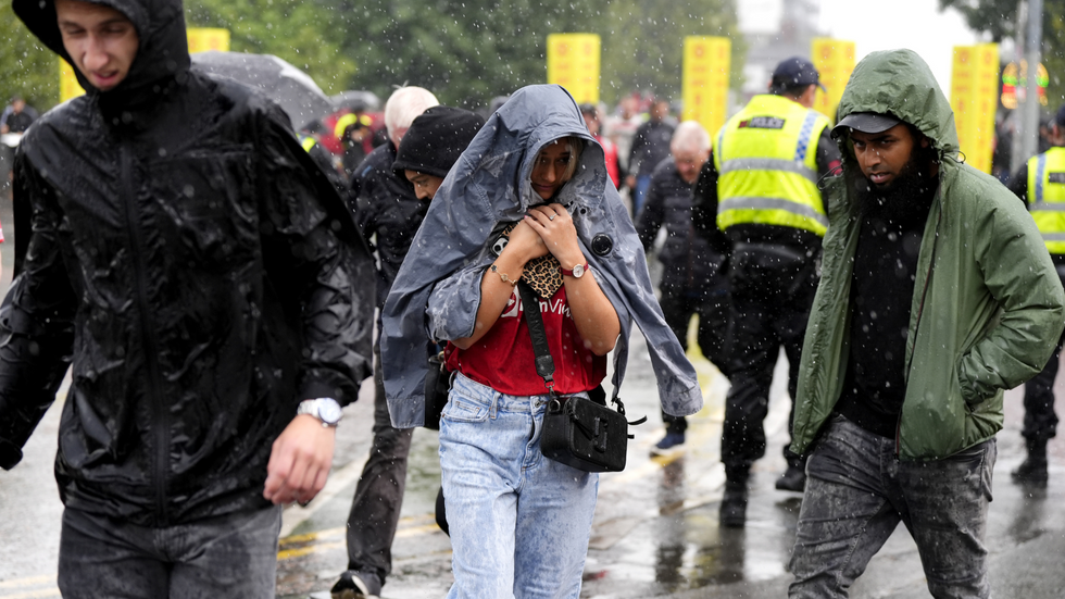
Britons have been told to prepare for some heavy rain during the early hours of Sunday morning
| PALooking further afield, meteorologists have predicted mostly dry and cloudy conditions with sunny spells across the north of England and Scotland on Sunday.
Then throughout the coming week, the south east can expect more rain - but "lighter and not as extensive as previous days", the Met Office says.
Elsewhere, Britons can expect "generally settled conditions" in much of the country - though a band of cloud and rain is set to make its way across the far north, particularly the northwest, while a few showers move into the southwest.
Despite the rain, temperature maps suggest the weekend won't be all bad - though these are likely to give way to cooler climes in the week.
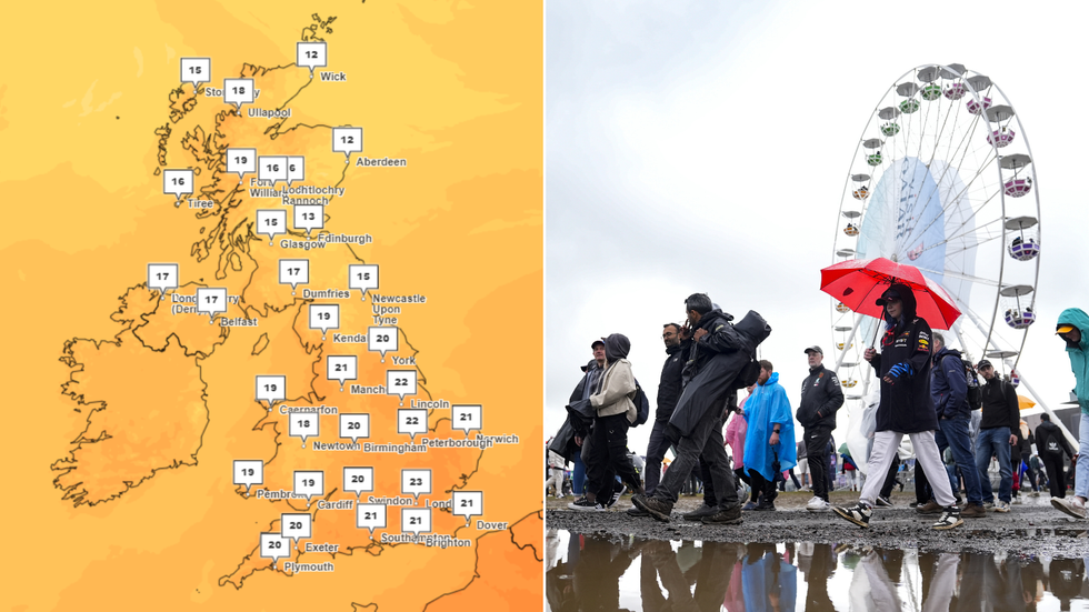
Despite the rain, temperature maps suggest the weekend won't be all bad
|MET OFFICE/PA
Forecasters have said Britons could see a "transition to a generally more unsettled, mobile westerly pattern" by midweek and beyond, with spells of wind and rain moving into many areas, mostly in the south.
Towards the end of the week, much cooler, showery conditions are expected for many parts of the country - mostly in the north and west.
But until then, the Met Office has detailed how residents in areas covered by the upcoming yellow rain warning should prepare for the downpours.
It advises to check if your property could be at risk of flooding, consider preparing a flood plan and an emergency flood kit, check for road closures or public transport cancellations, and - if affected by power cuts - consider gathering torches and batteries, a mobile phone power pack and other essential items.


