UK weather: Britain facing 'excessive heatwaves' throughout Summer 2024 - 'Very warm!'


Although temperatures will be warm, Britain is unlikely to see record-hitting temperatures experienced in 2022
Don't Miss
Most Read
Britain is facing “excessive heatwaves” this summer, a top weather expert has said with temperatures likely to become “very warm”.
The end of May was categorised by a rather cold, wet period and although sunnier days are on the horizon, those colder conditions are likely to persist a while longer according to the Met Office.
Social commentator and meteorologist from British Weather Services, Jim Dale, explained that although Britain will experience sultry heatwaves, it is also likely to experience some thundery showers.
He continued to explain that summer 2024 would be very different to that of 2023.
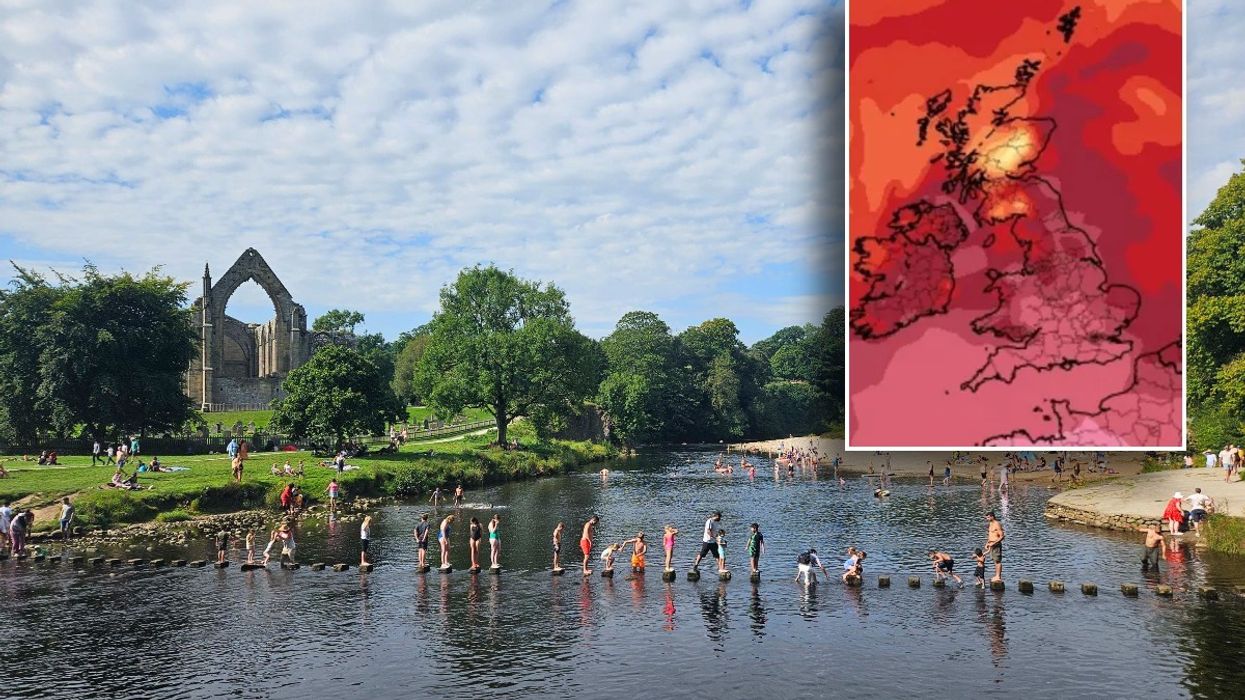
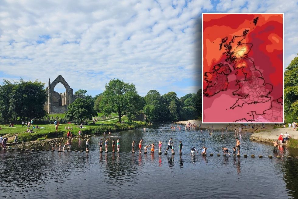
 Britain facing 'excessive heatwaves' throughout Summer 2024 - 'Very warm!' | Netweather/PA
“What we see isn’t what we saw in 2023,” Dale told Express.co.uk.
“We do see something of a mixed summer...not necessarily like a 1976 summer, it will be one that will be short-lived so that we get spells of hot weather interrupted by thundery downpours.”
Dale added that it would be a “warm to very to very warm summer interspersed with thundery type showers”.
Although the UK will be humid “at times”, Dale said Britain wouldn’t see the record-breaking heights witnessed in 2022 when they rose to 40C.
LATEST DEVELOPMENTS:- Tories on brink of electoral WIPE OUT: Devastating poll gives Labour a majority of THREE HUNDRED with Conservatives only just beating Lib Dems
- Low Emission Zones will see Britons fined £60 a day for driving petrol and diesel cars today
- ITV BGT finalist slaps down 'fix' claims as they share surprising rule amid backlash

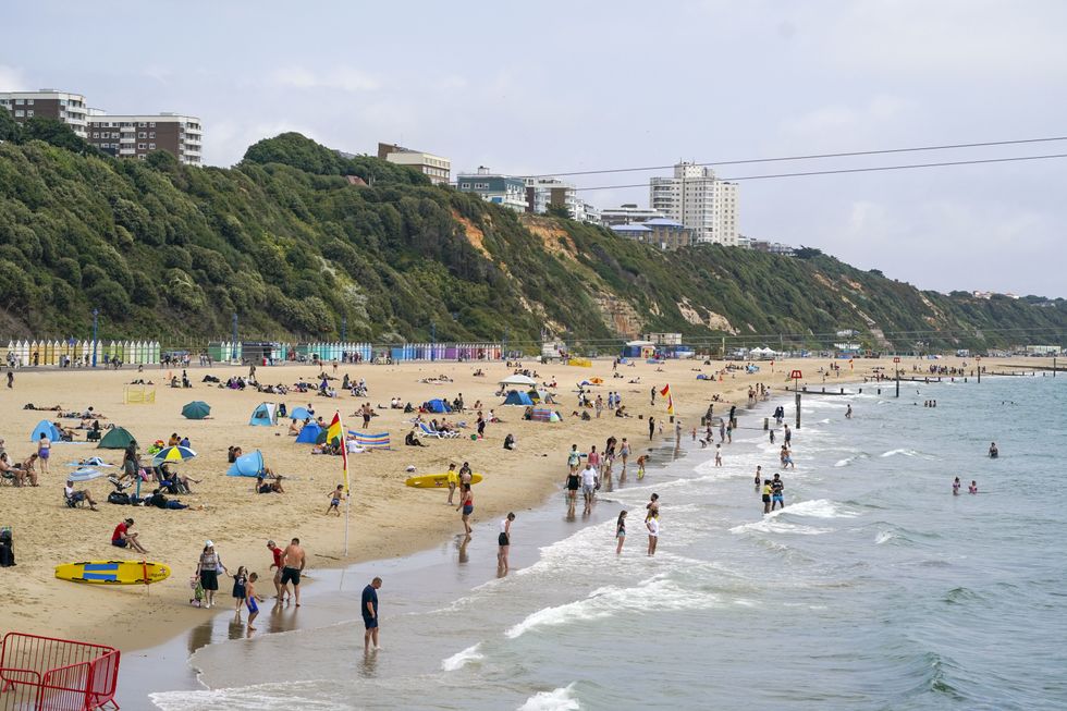
People enjoying the hot weather on Bournemouth beach
| PAAccording to the Met Office long-range forecast which predicts weather from June 5 until June 29, the UK will see some brighter spells, especially in the south.
The forecast for June 5 to June 14 says: “The first part of the period most likely characterised by showers sometimes blustery, occasionally heavy with thunderstorms, these most often across north-western areas but all areas likely to see some at times, though with a good deal of brighter spells around these, again more predominantly in the south.
“Temperatures rather cool or average. Into the new week increased potential for rain to spread from the west with fresh or strong winds and bands of rain possibly breaking up into areas of showers.
“Thereafter the outlook becomes more uncertain. The south of the UK will probably continue to be drier, although it's not possible to rule out scattered showers at times.
“Cooler and cloudier further northwest, where rain is more likely. Temperatures probably around normal.”
It later adds in its June 15 to June 29 forecast: “There is a slight shift of the most favoured regime from more unsettled to settled conditions through this period, though by relatively small margins, this linked to a slight trend towards drier and warmer conditions especially in the south as the period progresses.
“On balance, it is probable that a continuation of variable, slow-moving weather patterns are likely through much of June, with high pressure becoming more dominant from the west late on. Temperatures are most likely to be around or above normal.”


